Old Stage Road Forest
Property Details
Property Overview
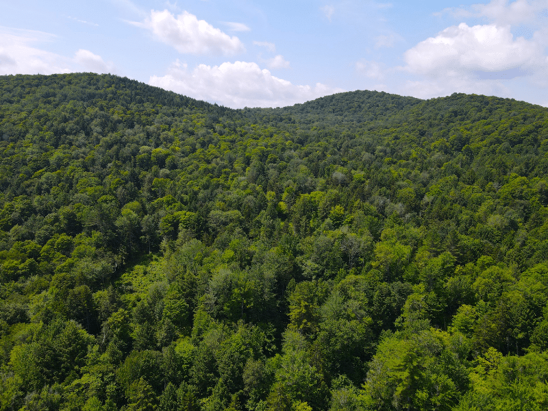
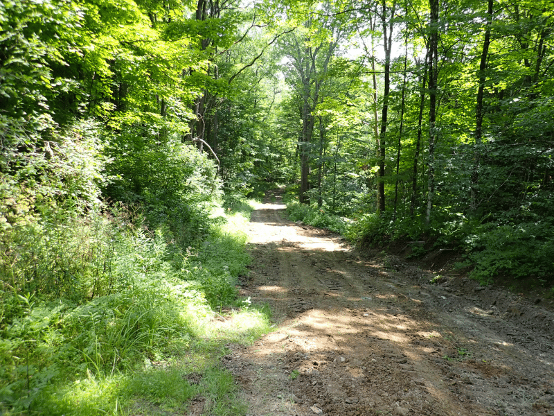
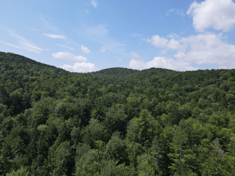
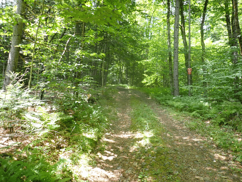
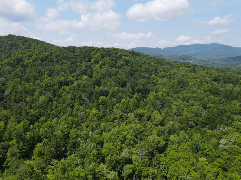
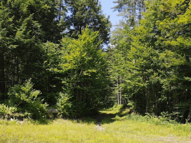
Old Stage Road Forest is very private parcel of land situated on a hill above the town of Bethel, VT. This forest has been well-managed over the years, and is stocked with older trees throughout. There are some open roads that are mostly covered with ferns that are left over from past logging. These trails could help navigate the parcel to find a good spot for a camp. This land would be amazing for hunting, and a VAST snowmobile trail runs up Old Stage Road with one spur going through the lower section of the property. This trail makes it possible to access the property all year as the road is not plowed in the winter months.
- Private location with only one other camp nearby located about a mile into the forest.
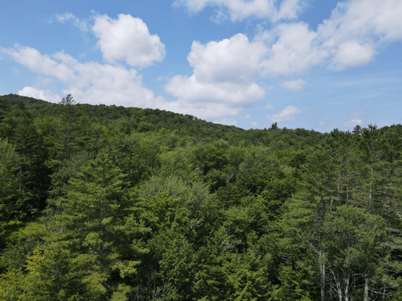
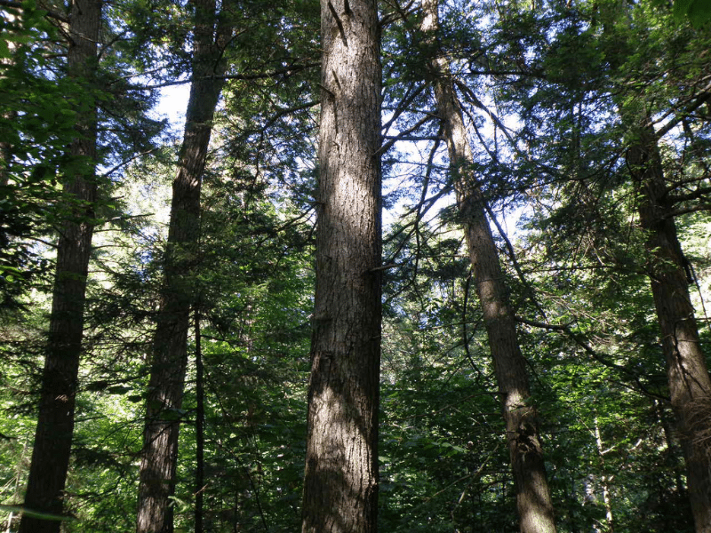
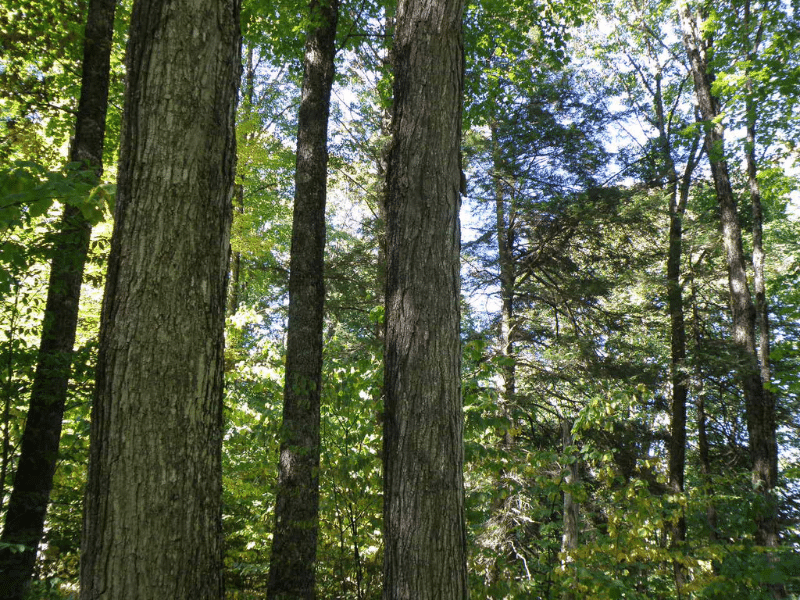
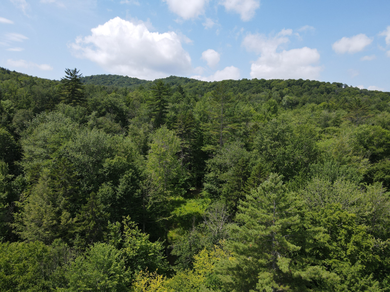
- The forest is a mix of hemlock, white pine and northern hardwoods including many sugar maples over 100 years old.
- Best use is for an off-grid camp used for hunting and outdoor recreational pursuits.
- Long road frontage would allow for options to explore woods trails to locate a good building site.
Location
Getting to Old Stage Road Forest’s access road is easy, although you will need a four wheel drive truck with good clearance to navigate the length of the road. Access is via VT Route 12 and Davis Road which turns into Old Stage Road near the property boundary. Interstate 89 is just a 10-minute drive from the property. This makes Boston MA and Hartford CT both only a 2.5 hour drive and, New York City NY a 5 hour drive away.
Access
To get to the property you turn onto Davis Road from Rte. 12 just outside of the town of Bethel VT. There is no street sign on the road, but the house at the bottom of Davis Road is 811 Pleasant Steet. (Rte. 12 is also called Pleasant Street). To get to the property, a four wheel drive truck with good clearance is necessary. There are waterbars cut into the road to help facilitate drainage, and these must be driven over very slowly.
Property Description
Old Stage Road Forest sits on a hillside just below the Heap Pinnacle and is situated about a mile up a decommissioned town highway in Bethel, VT. This large parcel of forest land is an off-grid piece of property best used for recreational purposes and as a future timber resource following the Current Use plan. Hunting on this parcel would be phenomenal, with deer, turkey, bear and grouse all being native to the forest’s ecosystem. You can hike to the property’s highest point at about 1500’ and snowshoeing and cross-country skiing would be an option in the winter.
The White River is the predominant natural feature of the area with several branches of the river meandering through the valleys and mountains on its way to the Connecticut River. Enjoy canoeing, tubing and fishing from locations along the riverfront just a few miles away. This property offers both incredible privacy while being close enough to shops and I-89. Building an off-grid camp in the woods would provide a base for years of future enjoyment.
Timber Resource
The property is currently FSC-certified, attaining the gold standard for responsible forestry practices. The Forest Stewardship Council (FSC) sets standards for responsible forest management worldwide, and FSC certification ensures that forest products come from responsibly managed forests that provide environmental, social and economic benefits.
The property’s forest management plan delineates 2 forest stands. One of the stands has a higher percentage of hemlock which is generally quite old, in excess of 100 years of age. The other forest stand is dominated by maple and this stand also has trees well in excess of 100 years old.
The forest was last harvested in 2020 with small group cuts and thinning conducted. As such, the woods trails have been re-opened creating good walking conditions through the forest.
The property’s Current Use plan was updated in 2022, and won’t need to be updated for another 8 years. The forest has been on a 20 year thinning cycle so it will be roughly 15 years before the next thinning. Despite the recent silvicultural activity, the forest resource has considerable value. A copy of the forest management plan is available upon request.
Parcel Map
Broker Disclosure: Under agency law, you are considered a customer, unless you have a written brokerage agreement with Fountains Land (in which case you are a client). While you are a customer, Fountains is NOT obligated to keep confidential the information that you might share with us; therefore, you should not reveal any information that could harm your bargaining position.
Thom Milke
NE Real Estate Manager & Vermont Principal Broker
Contact Thom Milke
Resources
Maps
-
Google Earth IconGoogle Earth
-
Locus Map IconLocus Map
-
Topo Map IconTopo Map
-
IR Map IconIR Map
-
Photo Map IconPhoto Map
View Similar Properties
-
 Available$110,000
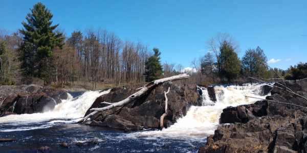
Upper Oswegatchie River – Fullerville Falls Parcel
13 AcresMultiple UsesFowler, St. Lawrence County, NY -
 Available$180,000
Upper Oswegatchie River – Overlook Rapids Parcel
83 AcresMultiple UsesFowler, St. Lawrence County, NY -
 Available$420,000
Upper Oswegatchie River – Sluiceway Falls Parcel
89 AcresMultiple UsesFowler, St. Lawrence County, NY -
 AvailablePrice Varies By Parcel
Swanson Development
182 AcresMultiple UsesPerry, Houston County, GA

