Perkins Brook Forest
Property Details
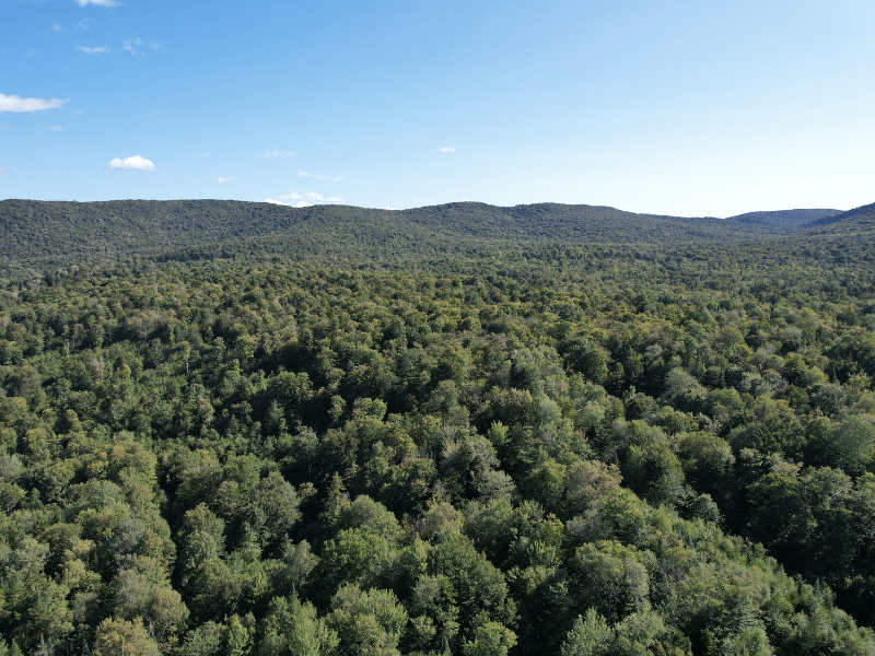
Property Overview
The forest can be considered a long-term timber investment opportunity with attractive species composition, developed access, and solid potential for asset appreciation from the timber resource. The ownership, Atlas Timberlands Partnership, is a collaboration between two well-known conservation groups – The Nature Conservancy and the Vermont Land Trust. Together, they have held the property (along with other lands) as a model for managing a diverse array of stewardship goals, including the practice of sustainable silvicultural operations. Their goal in divesting is to raise funds to further their forestland conservation work on new projects.
Investment highlights include:
• Species dominated by maple, yellow birch and Spruce/fir;
• Young to middle-aged timber resource with standing timber value of $600,000, well-positioned for asset appreciation;
• The property’s conservation easement allows for construction of a camp, offering a nice recreational amenity;
• Developed access w/close proximity to state roads.
Location
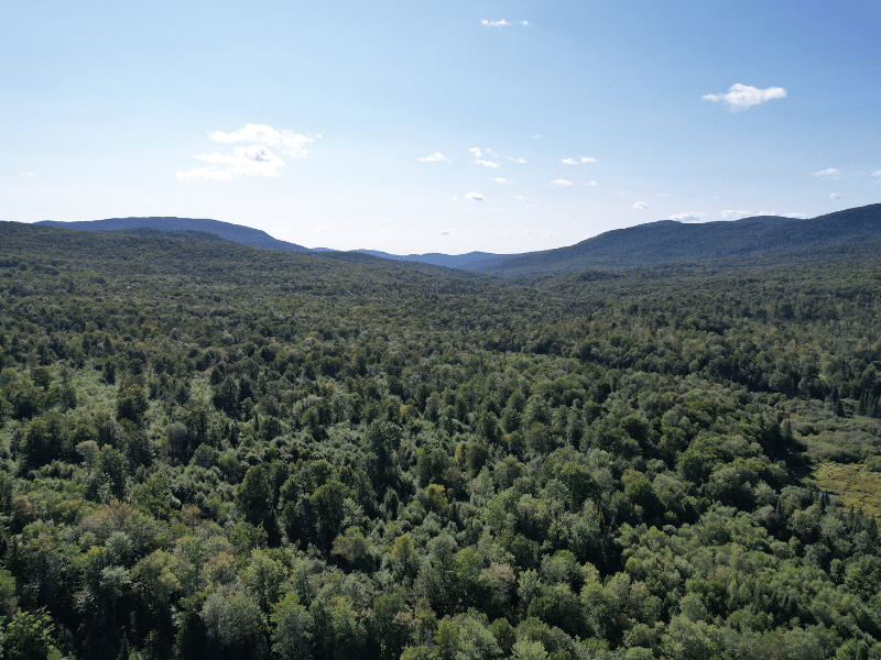
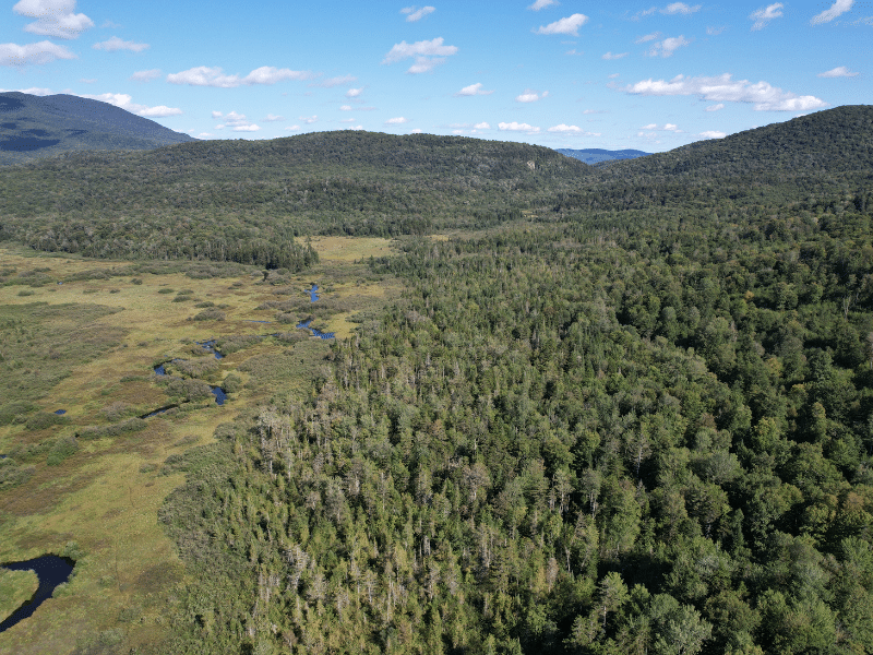
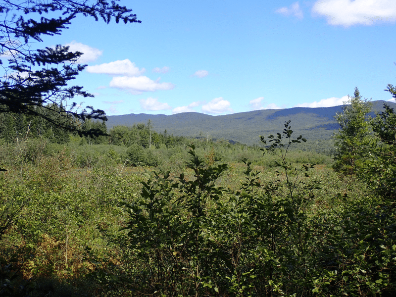
The forest is in a scenic part of northern Vermont, adjacent to State Lands, with the Green Mountain Ranges Long Trail 1.5 miles to the east and the Cold Hollow Mountains just to the north within view of the land. The immediate area is mountainous, rural and mostly forested, punctuated by small villages. Numerous streams and tributaries flow generally easterly through the area, carving valleys along the way, to join the Lamoille River along Route 15 as it makes its way west to Lake Champlain.
Belvidere is little more than a small hamlet on a rural state highway. Montgomery Center, which has a ski town influence from nearby Jay Peak Resort, is 6 miles to the north. Johnson, Vermont, the largest nearby town is 17 miles to the south and is home to Vermont State University. Burlington, Vermont’s largest city, is 56 miles to the southwest while Montreal, Canada, is 81 miles to the northwest.
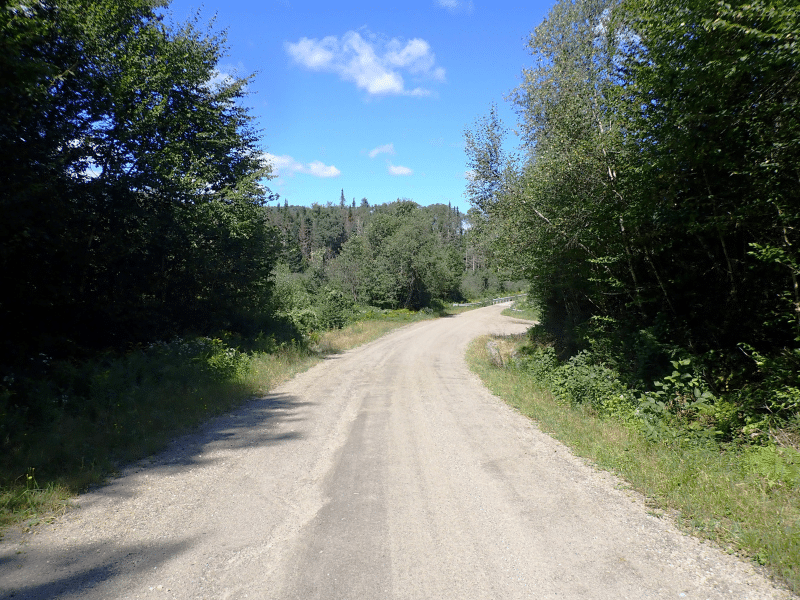
Access
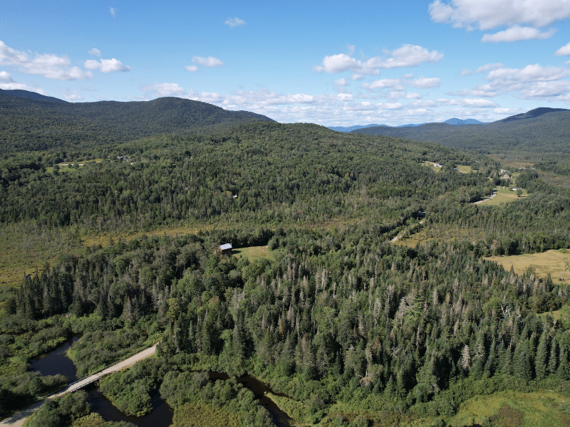
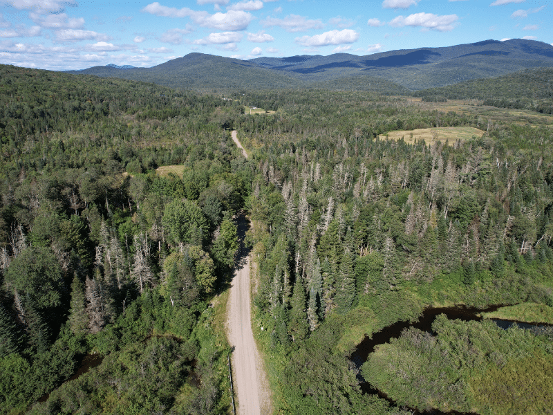
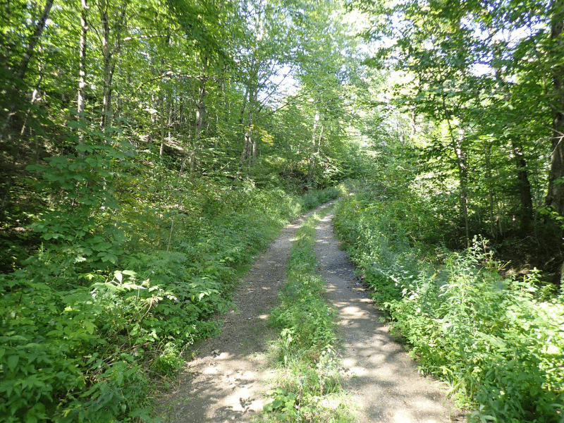
The land offers +/-.85 miles of frontage along both sides of Bog Road, a graveled town road seasonably maintained. Bog Road is plowed in the winter from the north up to the northern end of the land, adjacent to the northern driveway access. There are several existing driveways into the land off Bog Road, with the northern driveway leading to an internal access road running easterly .7 miles to a landing. Electric power appears to be +/-.5 miles north of the land along Bog Road. The land is less than a mile from Belvidere Corners, the junction of Routes 109 & 118, two major state corridors providing easy access to forest product markets regionally and into Quebec, Canada.
Property Description
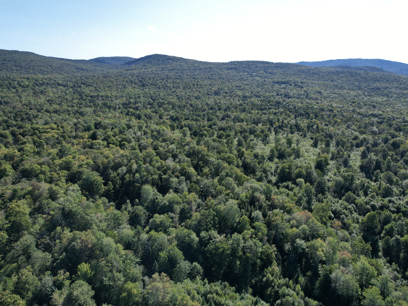
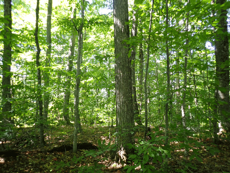
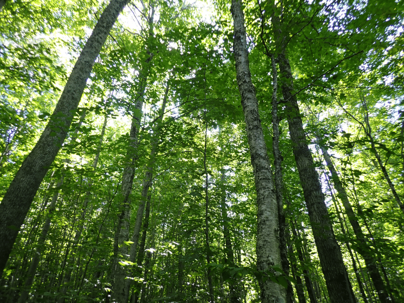
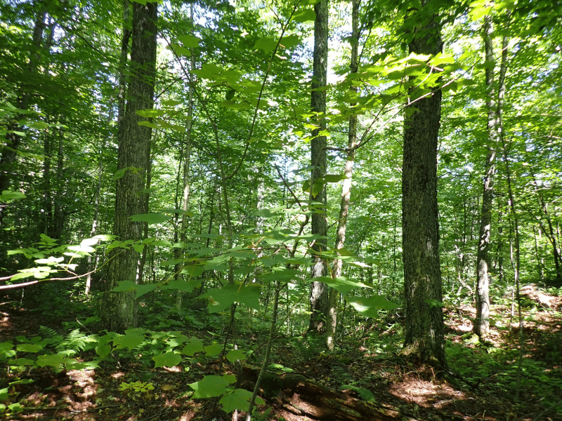
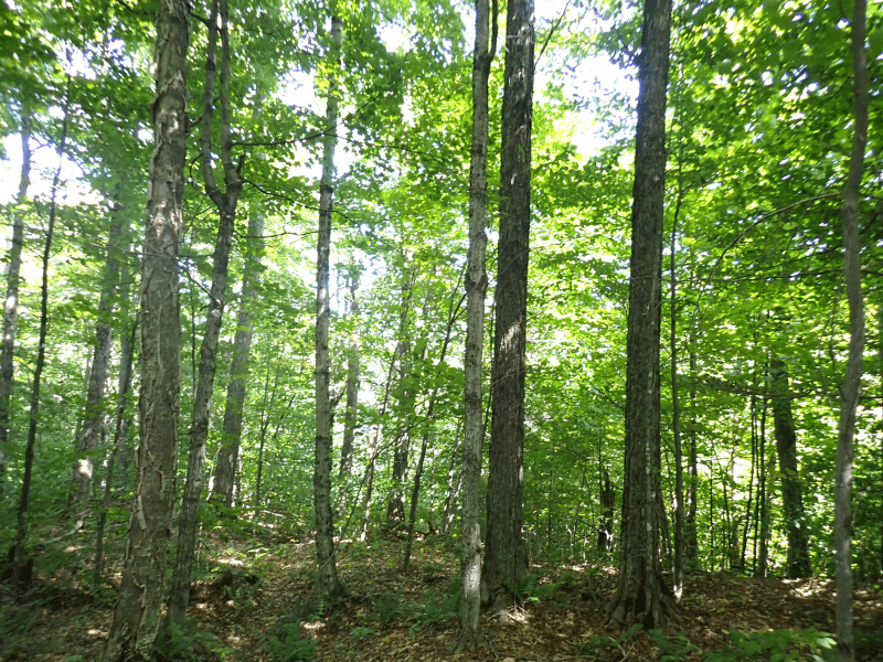
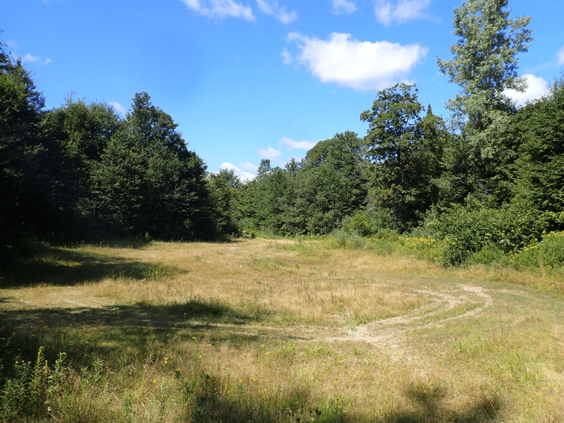
Much of the property’s terrain is gently sloping but as mentioned in the forest management plan, “its slopes are corrugated with numerous seeps and intermittent/perennial streams”. Generally, the lands that fall in Eden have steeper slopes and thus better drained soils. The land in Belvidere is more level resulting in a higher water table.
The land’s terrain offers opportunity for mechanical harvesting equipment on all of its commercial terrain, facilitating future forest management activity.
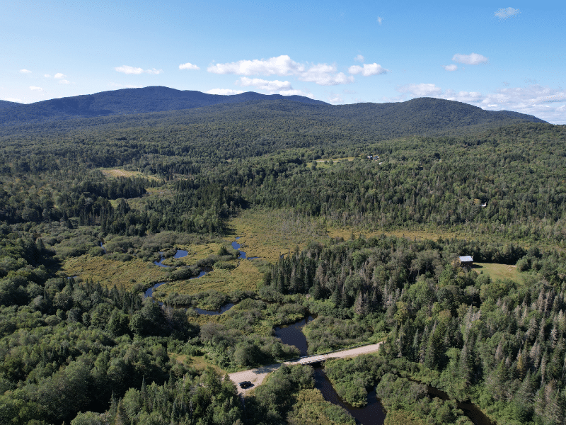
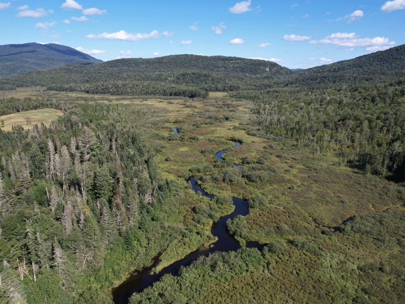
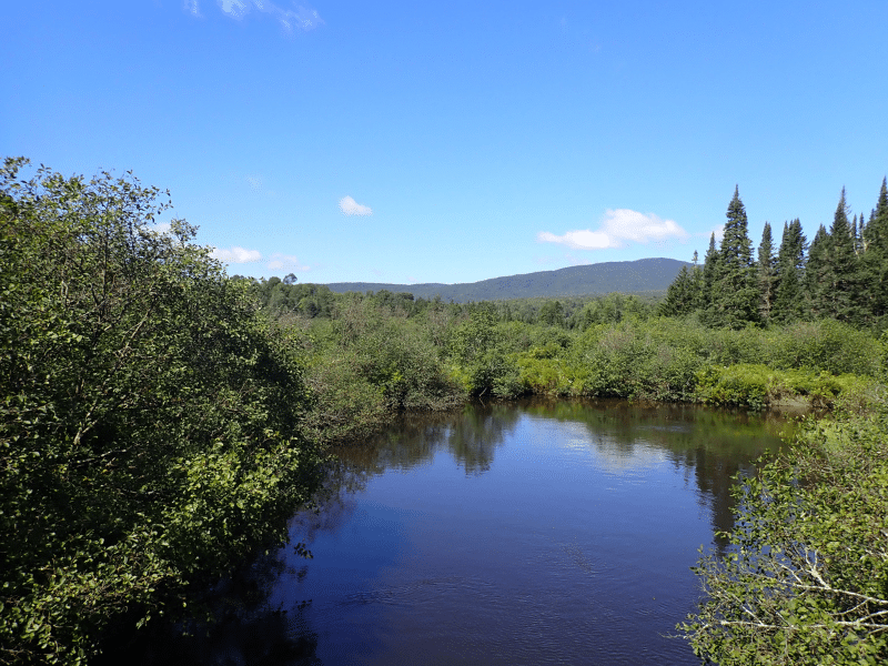
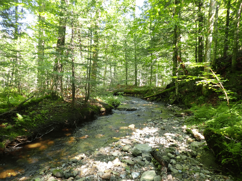
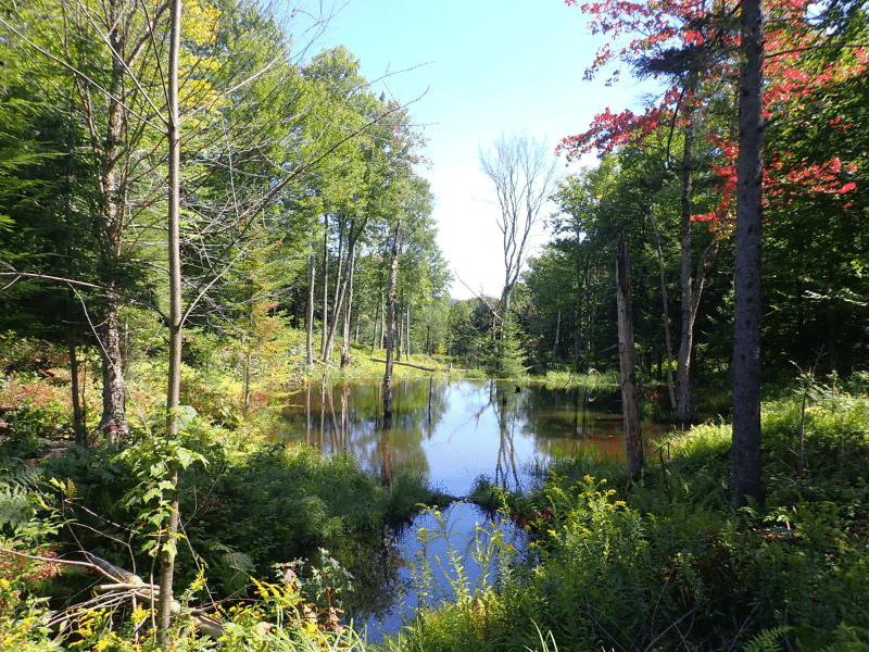
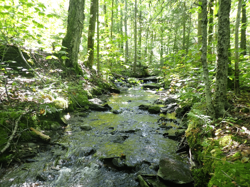
There are seven seasonal streams, two are year-round – Perkins Brook and the larger North Branch of the Lamoille River, the latter running in the middle of a large wetland complex. A scenic chain of ponds exists at the southwestern part of the land, with another chain of ponds at the northeastern area.
Elevation ranges from a high point of 1,740’ ASL (Above Sea Level) along the southern boundary, to 1,140’ ASL where the North Branch crosses Bog Road.
Sweeping views of the Cold Hollow Range exist from many locations along Bog Road and the northern internal access road.
The easement’s camp build right offers a nice recreational amenity with an easily accessible camp location just off Bog Road with attractive views of the Cold Hollow Range and wetland below.
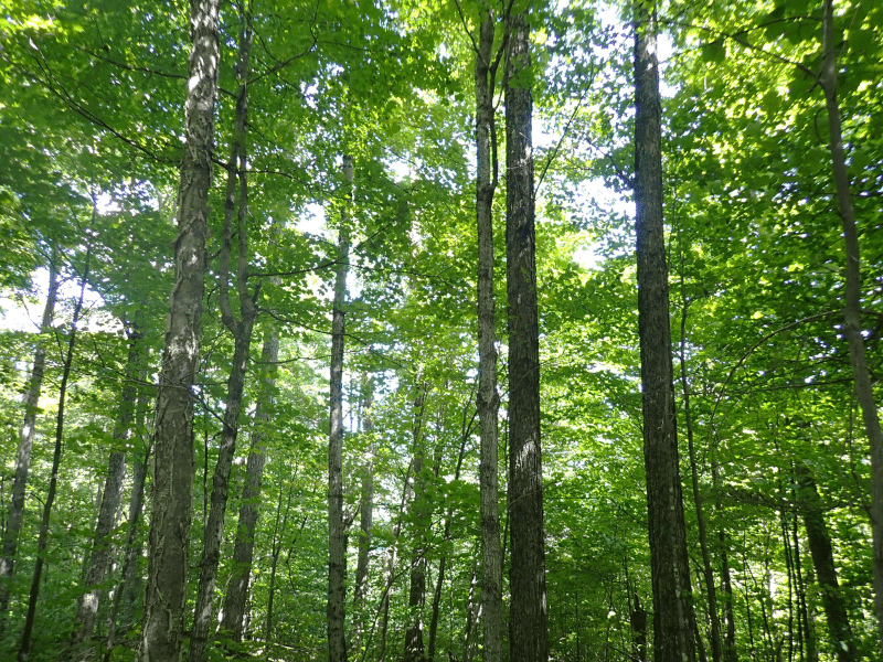
Timber Resource
Timber data in this report are based on a comprehensive timber inventory completed in the summer of 2018 by the ownership’s former forest consultant. Three hundred & five inventory plots were sampled (1 plot per 3.5 commercial acres), covering a 475’ x 475’ grid and using a 15-factor prism. Sampling statistics are ±12.7% standard error for sawlog products and ±8.3% for all products combined at the 95% confidence interval, figures well within industry standards. After applying growth for 2019-2023 using regional FIA data averages, the timber data reveal a total sawlog volume of 2,459 MBF International ¼” scale (2.3 MBF/commercial acre) with 10,933 pulpwood cords (10.2 cords/commercial acre). The combined total commercial per acre volume is 14.9 cords, below the regional average. Stumpage values were assigned to the volumes in January 2024, producing a property-wide Capital Timber Value (CTV) of $598,000 ($493/acre). Note that the timber data is based only on the productive forest acres.
Species Composition:
A species composition dominated by hardwoods prevails, with hardwoods at 85% and softwoods at 15% of total volume. Species composition for all products combined offers a favorable mix and is led by red maple (22%), yellow birch (21%), and sugar maple (21%), followed by beech (16%) and spruce/fir (12%), with other common hardwoods and softwoods comprising the balance. The sawlog volume breakdown is similar however consisting of a larger percentage of spruce/fir sawlogs but an absence of beech sawlogs. This species composition is well suited to a long-term timber investment, with solid markets regionally and into Quebec for the products produced on the land.
Stocking (stand density):
Forest density can generally be considered fully stocked (including the recently harvested stands which are now regenerated), with the average Basal Area (BA) at 63 ft2 on 132 stems/acre.
Sawlog Value:
Sawlog value consists mostly of yellow birch (31%), sugar maple (29%), spruce/fir (20%) and red maple (15%).
Diameter Distribution:
The average diameter for all products combined is 11.5”, while the average sawlog diameter is 13.5”. The average diameter for the four main species is sugar maple 13.5”, yellow birch 14.5”, red maple 14.4” and spruce/fir 11”.
Harvest History:
The property’s 2019 management plan has seven stands delineated, most are northern hardwood stands. The land was treated silviculturally in 2013 via clearcutting with reserves (+/-246 acres) and seedtree treatments (+/-104 acres). In these areas, advanced regeneration is mostly fully established. The maps associated with this report identifies these harvests. Prior to this, harvesting last occurred about 25+ years ago.
Generally, five diameter size classes predominate; a sapling regeneration class established from the 2013 harvesting (.05”-1” stems), advanced saplings established from harvesting 25+ years ago (5”-6” stems) accounting for 12% of the stocking, pole-sized trees (7”-9” size class) 23%, small-medium sawlog trees (10”-14” size class) 40%, and a large sawlog class (15”+ trees) 25% of the volume.
As with most forests that have seen harvesting over the past 25 or more years, the presence of an advanced sapling to small pole-sized “growing stock” (in this case 35% of the volume), can be an important component of future asset appreciation from upward shifting to higher valued products.
Sugarbush Opportunity:
The timber data indicates roughly 23,000 taps down to a diameter of 9” (using 2 inch size classes), with a even split between red & sugar maple. While the entire property does not represent a good sugarbush opportunity, some areas certainly hold potential.
Parcel Map
Broker Disclosure: Under agency law, you are considered a customer, unless you have a written brokerage agreement with Fountains Land (in which case you are a client). While you are a customer, Fountains is NOT obligated to keep confidential the information that you might share with us; therefore, you should not reveal any information that could harm your bargaining position.

Contact Michael Tragner
Resources
Maps
-
Google Earth IconGoogle Earth
-
Locus Map IconLocus Map
-
Topo Map IconTopo Map
-
IR Map IconIR Map
-
Photo Map IconPhoto Map
View Similar Properties
-
 AvailablePrice Varies By Parcel
Swanson Development
182 AcresMultiple UsesPerry, Houston County, GA -
 Price Improvement$60,630 $46,546
Powell Plantation Tract #1
4 AcresMultiple UsesDeBerry, Panola County, TX -
Price Improvement$38,310 $29,805
Powell Plantation Tract #2
2 AcresMultiple UsesDeBerry, Panola County, TX -
Price Improvement$37,485 $27,426
Powell Plantation Tract #3
2 AcresMultiple UsesDeBerry, Panola County, TX