Lower Oswegatchie River – Parcel 2
Property Details
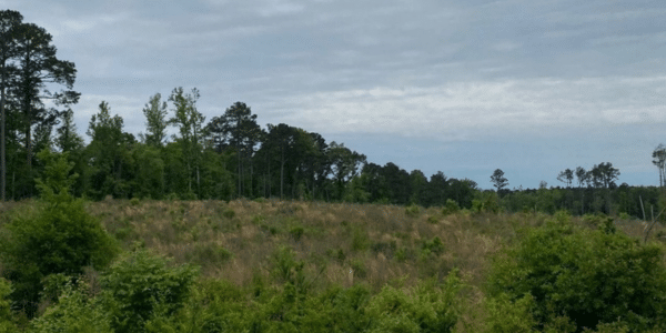
Property Overview
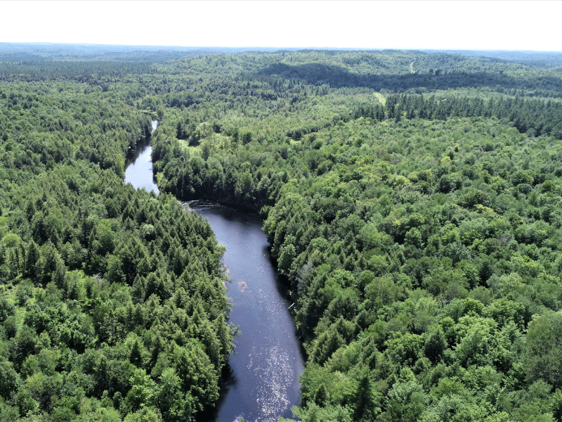
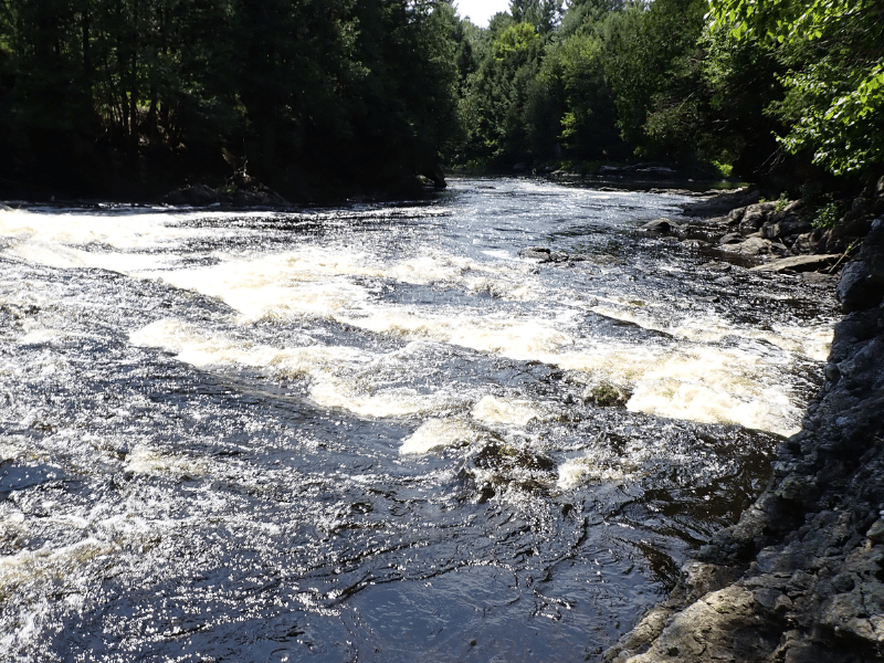
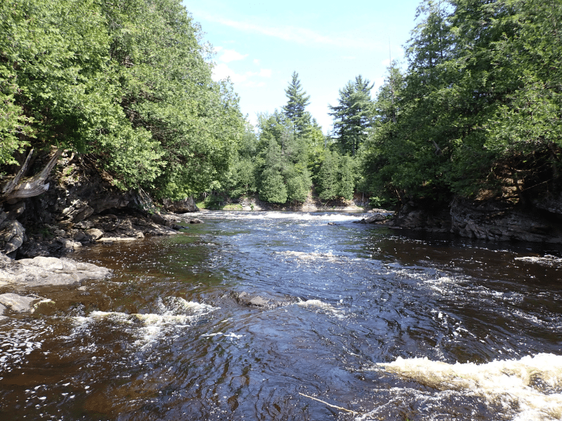
For sale are six individually offered, incredible riverfront parcels along the beautiful West Branch of the Oswegatchie River. The parcel’s river frontage provides an entire suite of river attributes – frothy, cascading falls, plunging pools, shimmering ripples, high granite outcroppings, placid flat water – there’s a little bit of everything along this stunning river frontage.
Each parcel also offers various private building sites along the river with no nearby roads, houses, or noise.
Location
The parcels are located in the towns of Fowler, Pitcairn and Edwards, St. Lawrence County, New York. This location is at the foothills of the northwestern Adirondacks along the West Branch of the Oswegatchie River. The West Branch is a major tributary of the Oswegatchie, which flows into the main branch near the hamlet of Talcville. The nearby village of Harrisville (population 670) is a rural community along the Oswegatchie River with a full suite of amenities.
St. Lawrence County is the largest in New York State and is home to the St. Lawrence International Seaway, connecting the Great Lakes with the Atlantic. Gouverneur (population 3,949) is an 11-mile drive to the northwest along the Route 58 corridor, while Canton is a 45-minute drive to the north. Syracuse and Rochester/Albany lie within a two and three-hour drive.
Access
The property has +/-0.9 miles of frontage along Thomlinson Road, a seasonally town-maintained gravel road. No electric power runs along this road. A 65’ wide right of way road provides access to the river frontage, which begins on the adjacent Parcel 1 running +/-0.8 miles before crossing the property boundary (see maps for ROW location). Once on the Parcel, the woods road runs 1.2 miles in a southerly direction parallel but east of the river.
Property Description
The land offers +/-2.1 miles of scenic river frontage. Falls #3 is just a short walk from the access road, including rapids, deep pools, and a sand bar. Downstream, the river runs wide and deep before entering first the long rapids, then Falls #2. The terrain is level to modestly sloping close to the river with mountainous, hilly ground on most of the remainder.
Parcel Map
Broker Disclosure: Under agency law, you are considered a customer, unless you have a written brokerage agreement with Fountains Land (in which case you are a client). While you are a customer, Fountains is NOT obligated to keep confidential the information that you might share with us; therefore, you should not reveal any information that could harm your bargaining position.

Contact Troy Smith
Resources
Maps
-
Google Earth IconGoogle Earth
-
Locus Map IconLocus Map
-
Topo Map IconTopo Map
-
IR Map IconIR Map
-
Photo Map IconPhoto Map
View Similar Properties
-
 AvailablePrice Varies By Parcel
Swanson Development
182 AcresMultiple UsesPerry, Houston County, GA -
 Price Improvement$60,630 $46,546
Powell Plantation Tract #1
4 AcresMultiple UsesDeBerry, Panola County, TX -
Price Improvement$38,310 $29,805
Powell Plantation Tract #2
2 AcresMultiple UsesDeBerry, Panola County, TX -
Price Improvement$37,485 $27,426
Powell Plantation Tract #3
2 AcresMultiple UsesDeBerry, Panola County, TX