Keenan Forest

Property Details
Property Overview
The property represents an attractive forestland investment, ideally suited for long-term capital timber appreciation. For the family investor seeking a blended asset, the forest also offers unique homesteading opportunities.
Notable highlights include:
- Historic, long-term management strategy as evidenced by careful silvicultural and capital road improvement activities;
- High-quality timber resource dominated by The Maples with Timber Value of $640,500;
- Sugarbush opportunity from a considerable sugar maple resource, accounting for 44% of total species composition;
- Largely gentle terrain supporting productive soils;
- Developed access enabling full property coverage for future forestry activity;
- Paved road frontage with electric power and level terrain suitable for homesite development.
Location
Keenan Brook Forest is located in the rural towns of Groton and Topsham in the east-central region of Vermont. The area is a hilly section of the state between the spine of the Green Mountains to the west and the wide Connecticut River Valley to the east. The region is populated by small villages and hamlets in a working forest landscape. Scattered small farms can be found in most of the valleys. The 26,000-acre Groton State Forest lies to the northwest of the property.
Groton is a small town along the east-west Route 302 corridor that links the capitol city of Montpelier and Interstate 89 with Interstate 91 on the Vermont/New Hampshire border. The Wells River flows through town (a collection of small homes and a few services) on its way to the Connecticut River. More extensive amenities can be found in Saint Johnsbury (30 miles northeast), Barre (21 miles west), or Bradford (24 miles southeast). From the property, Boston, Massachusetts, and Hartford, Connecticut, are both a 3-hour drive southeast and south, respectively.
Access
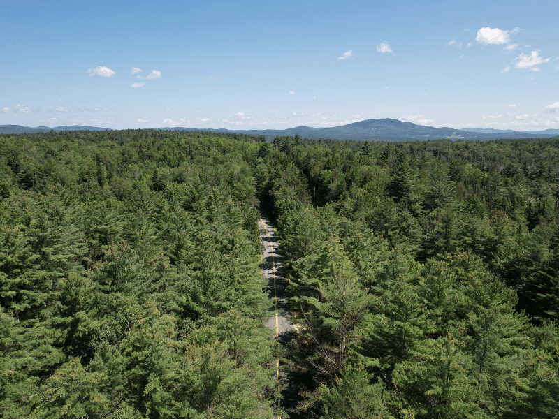
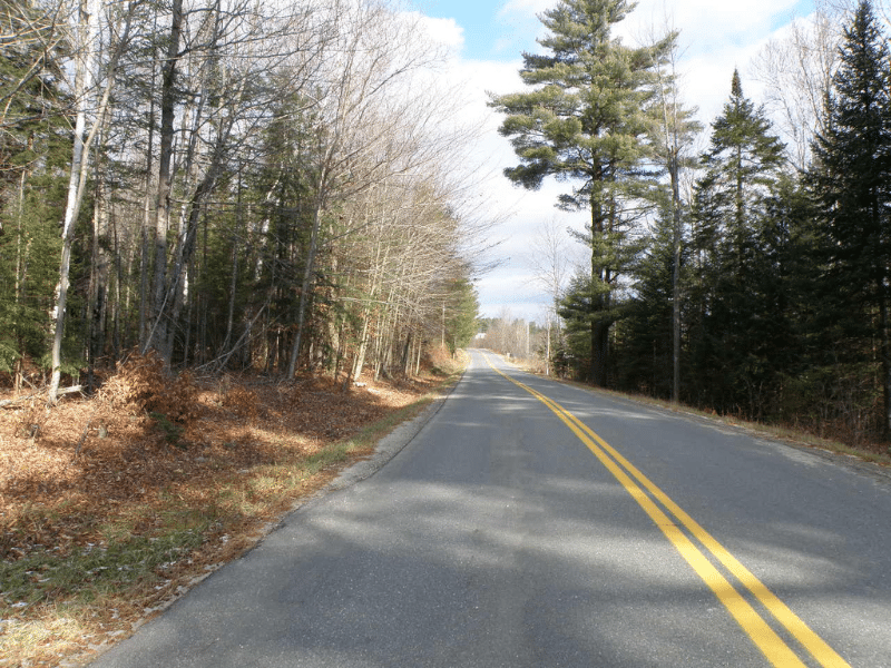
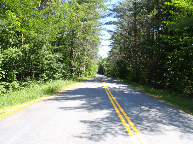
Legal access to Keenan Forest is provided by paved town road frontage, class 3 and 4 town roads, and a private internal roadway leading into the heart of the forest.
Powder Spring Road provides nearly 3,355’ of paved frontage along this town road with electric and telephone service. There are two access points off this road with an established gravel driveway along the southern frontage. A northern driveway, which has not been used in nearly 30 years, enters the land in an area well-matched for future homesite development.
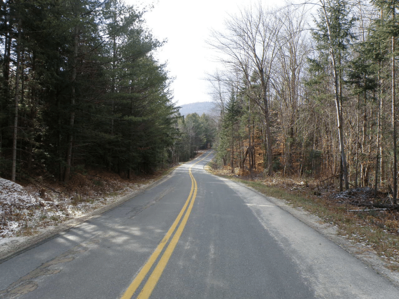
Keenan Pond Road offers no useable frontage. However, it does provide the driveway point for the property’s internal access road. This gated road runs roughly 6,970’ to the land’s central area and hosts several forestry landing areas along the way. Well-constructed, with proper culverts and ditching, the road provides the majority of access to the property’s forest stands.
Annis Road & TH 36 both provide undeveloped but potential access to the land’s northern end. However, this section of the forest is fully accessible from the land’s internal access road.
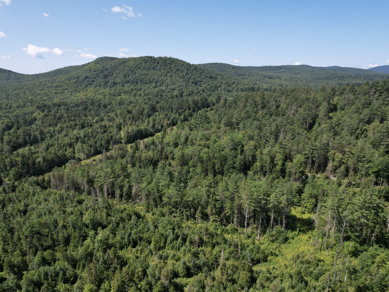
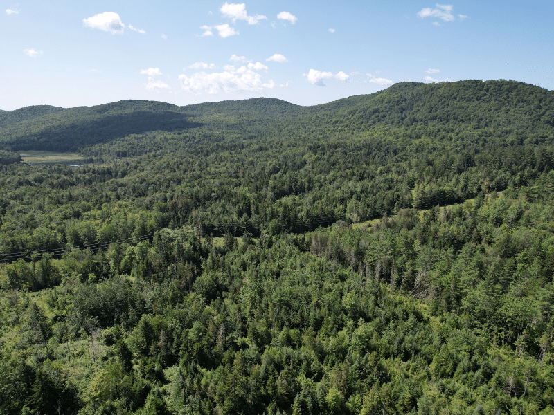
Property Description
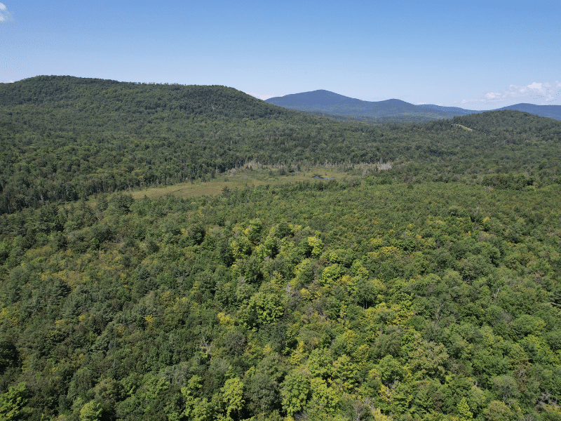
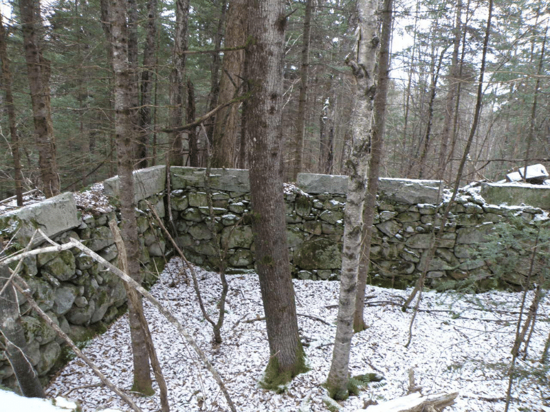
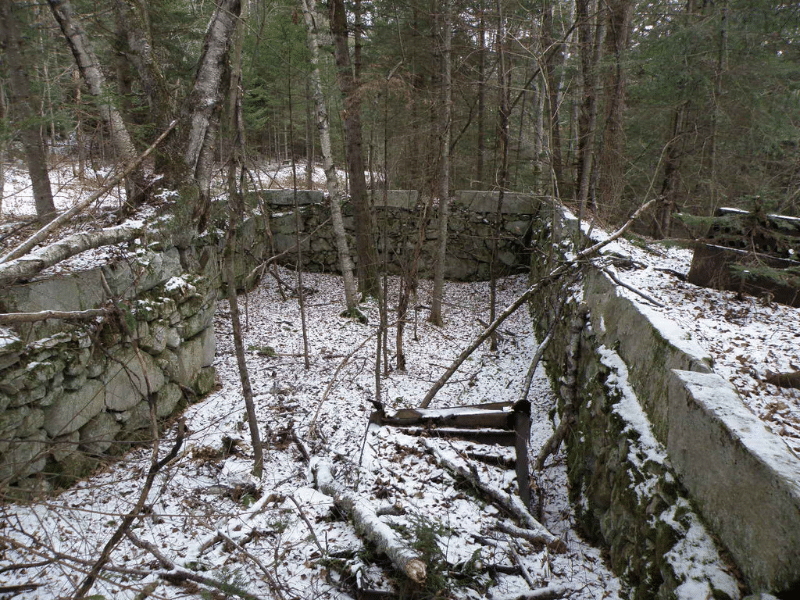
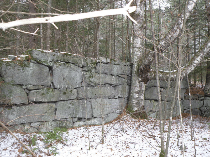
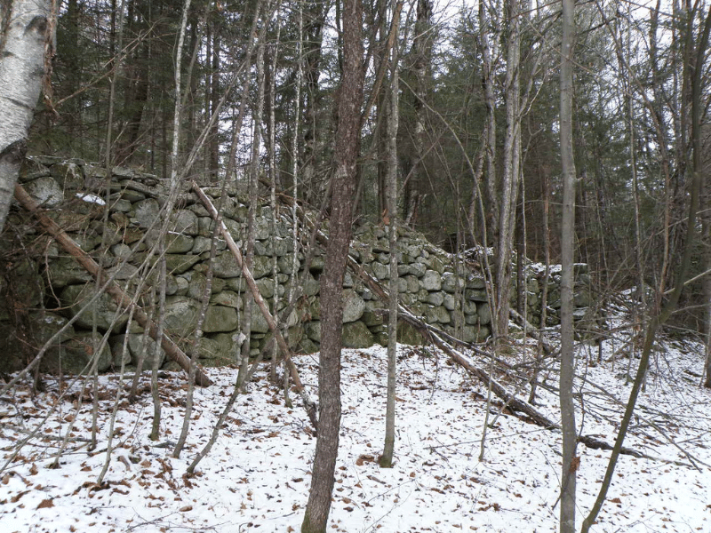
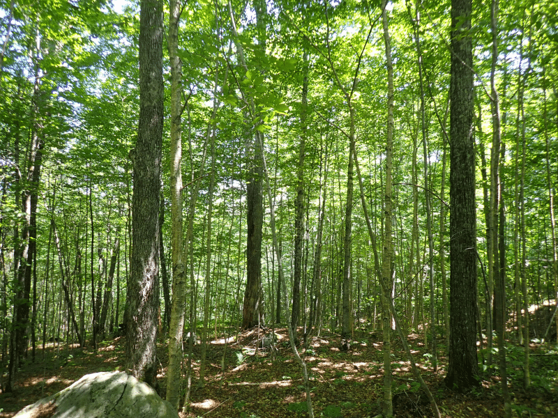
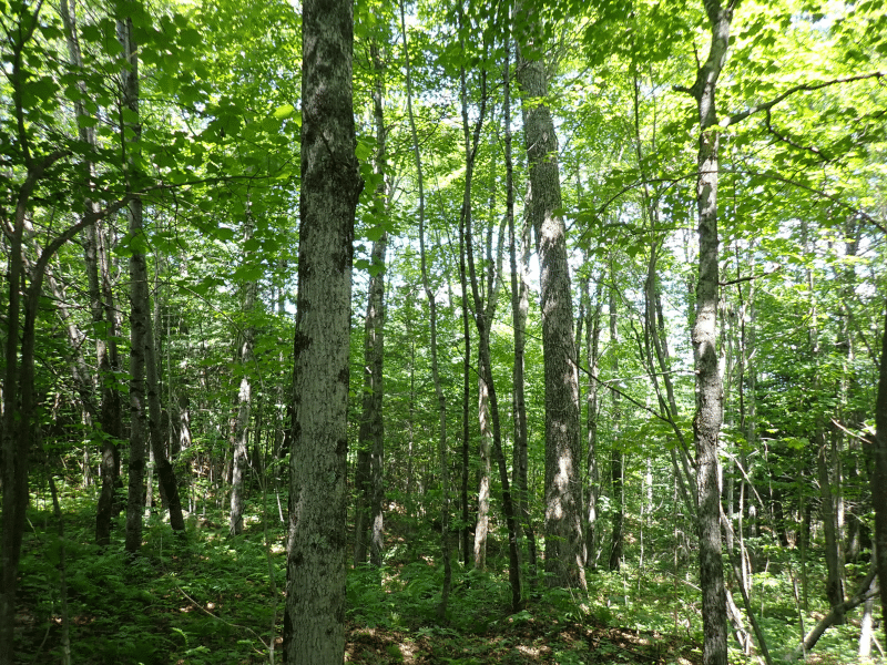
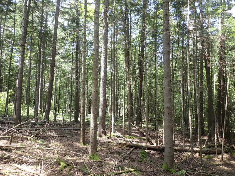
The property has been shaped by its former uses, including an intensive period of farming and homesteading going as far back as the late 1700s. Field evidence, such as barn and house stone foundations, stone walls, and wire fences, covers the property’s landscape, indicating that nearly all of the land was formally used for some form of agricultural activity. Today, many of the forest stands naturally became established after farming ended on the property in the early 1900s, and reflect the historic property use patterns. Forest stand boundaries are well-defined along stone walls and wire fences, particularly within the pine and most mature sugar maple stands.
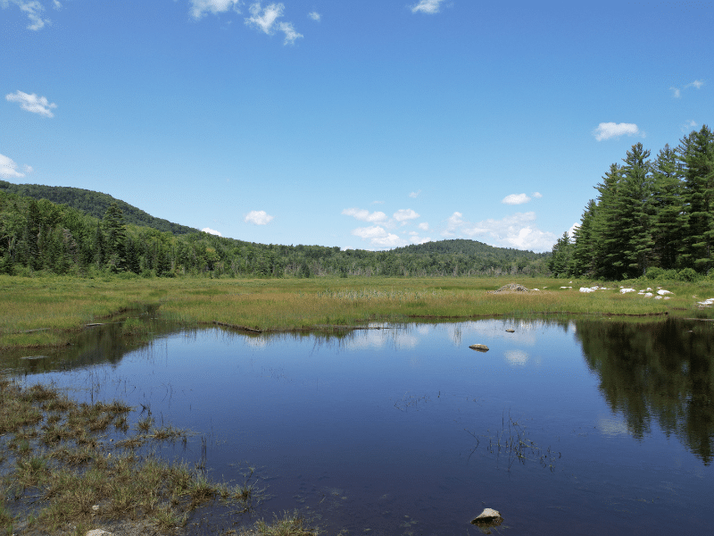
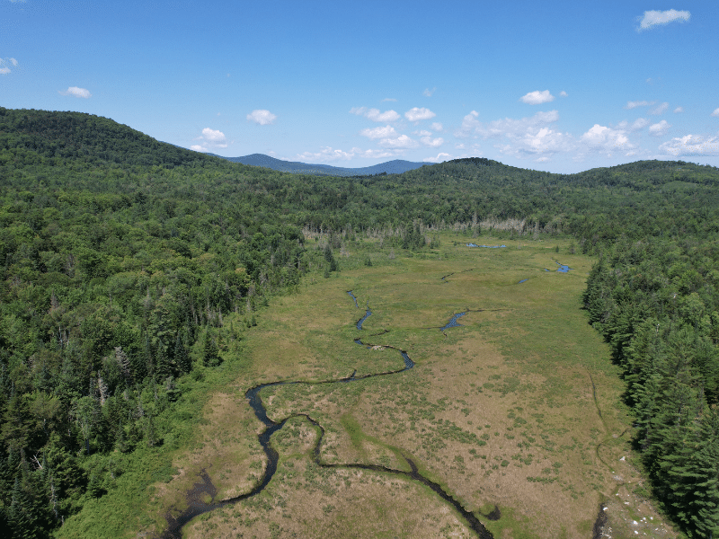
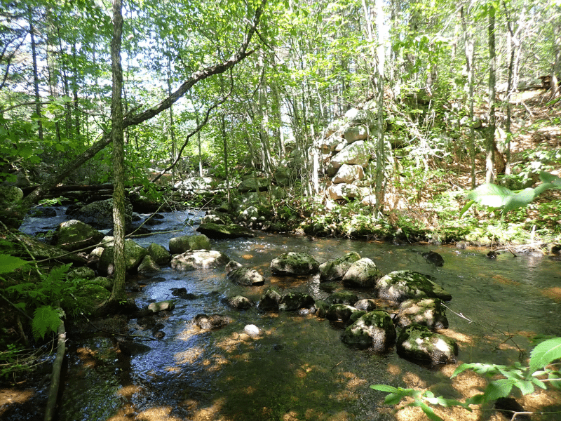
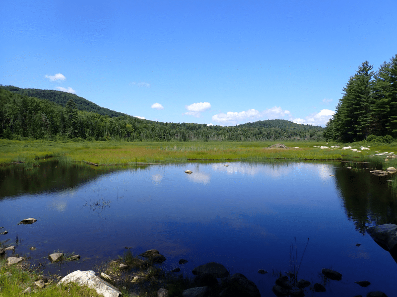
The property is situated in a generally high-elevation region of Vermont. The prominent ridge that defines the land’s southwestern corner features the property’s highest point (2,100’) and gives rise to Keenan Brook. Flowage largely originates in the forest and runs easterly, bisecting the land and creating a central valley as it runs into Keenan Bog (low point of the property with an elevation of 1,340’). The terrain is dominated by gentle to moderate slopes, well-suited to fully mechanized forest operational equipment. With the exception of Kennan Bog, soils are well-drained with average to above-average productivity.
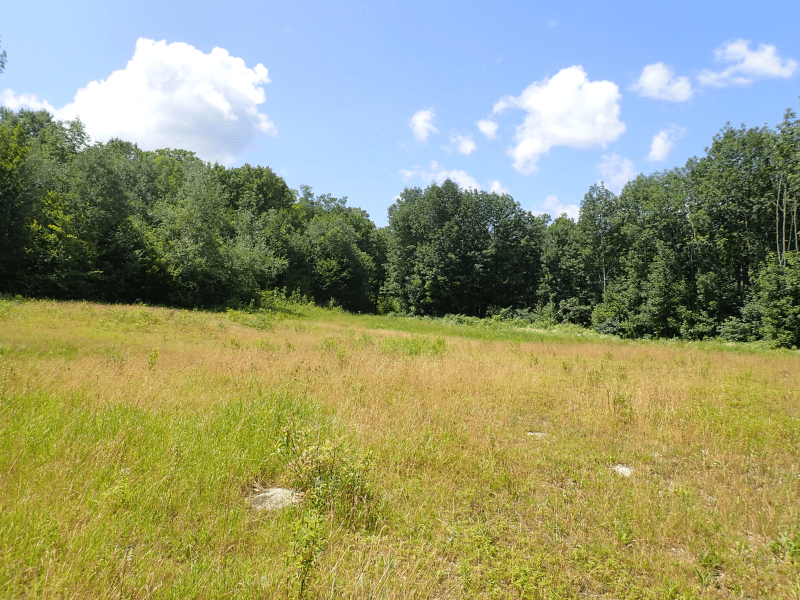
There are two logical homestead development sites, with a lower cost option situated along the paved road frontage opposite state-owned lands and a more private site, further from town services, available midway along the internal access road just before reaching the Groton Town Line. On the second site, the terrain is gentle, and the 1,500’ elevation offers attractive views of the forest’s central valley.
Timber Resource
Timber data in this report are based on a timber inventory conducted in December 2022, with the purpose of establishing Capital Timber Value (CTV) by F&W Forestry Services, the owner’s forest manager. 132 inventory points were sampled (1 plot per 4.6 acres), covering a 450’ X 450’ grid using a 15-factor prism. Sampling statistics are ±10.6% standard error for sawlog products and +/-7.7% for all products combined at the 95% confidence interval. Upon applying growth for 1 season at regional FIA data growth rates, the timber data reveal a total sawlog volume of 2,928 MBF International ¼” scale (4.2 MBF/acre), with 6,662 pulpwood cords (10.8 cords/acre). The combined total commercial per acre volume is 15.5 cords, a figure about average for the region. Stumpage values were assigned to the volumes in July of 2024, producing a property-wide Capital Timber Value (CTV) of $640,500 ($927/commercial acre). See the Timber Valuation in this report for details.
Species Composition:
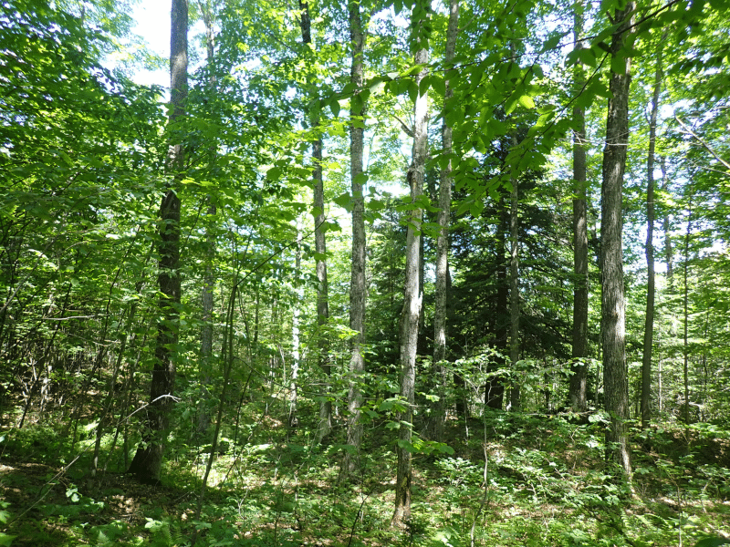
The species composition is 66% hardwoods and 34% softwoods. Species composition for all products combined is led by sugar maple (26%), followed by red maple (17%), spruce/fir (14%), hemlock (11%), and birches (9%), with miscellaneous softwoods and hardwoods as associates. The sawlog volume breakdown is led by sugar maple (28%), followed by spruce/fir (20%), and white pine (14%), along with small levels of various common associates. The primary species all have benefited from strong historical (and current) markets for their various end products, ensuring the likelihood of robust asset appreciation from stumpage price growth.
Stocking and Stem Quality:
With the exception of areas harvested in 2008, forest density is generally represented by fully stocked stands. The average Basal Area (BA) is 68.2 ft2 on 139 stems/acre. Stem quality is above average within all size classes.
Sawlog Value/ Thinning History:
Sawlog value is dominated by sugar maple (41%), followed by spruce/fir (17%), and red maple (11%), with a small balance held by pine, ash, and others.
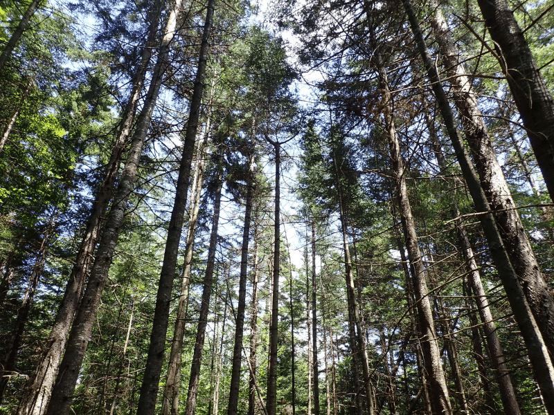
The 2019 forest management plan identifies three forest stands, of which two are hardwood stands, and one is primarily a spruce/fir stand. All stands were thinned in the early 90’s (+/-31 years ago). Stand 2 (hardwood) was also treated in 2008 via thinning and group selection. One third of stand 3 (softwood) was treated in 2008 via patch clearcuts.
Diameter Distribution:
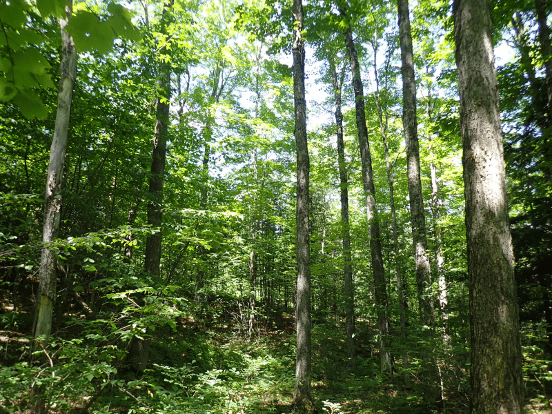
Average diameter for all products combined is 12.0”, while the average sawlog diameter is nearly 13”. Average diameter for sugar maple is 13”, yellow birch is 14.5”, and spruce/fir 10”.
The diameter distribution indicates a wide range, with strong representation from advanced saplings (established from the thinning 31 years ago), pole growing stock (pre-sawlogs, likely 60 years old), and medium to large sawlogs (75-100 years old). Worthy of note is that 25% of volume from the main hardwood species (maple, yellow birch & cherry) comes from the 5-10” size classes, creating a solid future sawlog crop.
Sugarbush Option
The timber data indicates 24 taps per acre in the forest, with a total of 14,760 taps on the property. 62% of the taps on the property come from sugar maple. Tap count per acre is variable, but the land is suitable for smaller-scale hobby operations or family sugarbush development that does not cover the entire forest.
Parcel Map
Broker Disclosure: Under agency law, you are considered a customer, unless you have a written brokerage agreement with Fountains Land (in which case you are a client). While you are a customer, Fountains is NOT obligated to keep confidential the information that you might share with us; therefore, you should not reveal any information that could harm your bargaining position.

Zach Jaminet, CF
Northeast Real Estate Salesperson
Contact Zach Jaminet
Resources
Maps
-
Google Earth IconGoogle Earth
-
Locus Map IconLocus Map
-
Topo Map IconTopo Map
-
IR Map IconIR Map
-
Photo Map IconPhoto Map
View Similar Properties
-
 AvailablePrice Varies By Parcel
Swanson Development
182 AcresMultiple UsesPerry, Houston County, GA -
 Price Improvement$60,630 $46,546
Powell Plantation Tract #1
4 AcresMultiple UsesDeBerry, Panola County, TX -
Price Improvement$38,310 $29,805
Powell Plantation Tract #2
2 AcresMultiple UsesDeBerry, Panola County, TX -
Price Improvement$37,485 $27,426
Powell Plantation Tract #3
2 AcresMultiple UsesDeBerry, Panola County, TX