Upper Oswegatchie River – Sluiceway Falls Parcel


Property Details
Property Overview
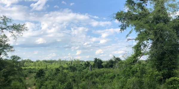
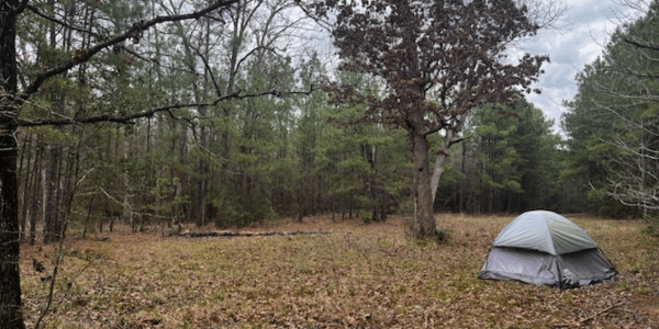
Four individually offered, incredible riverfront parcels are for sale along the beautiful West Branch of the Oswegatchie River. The parcel’s river frontage offers an entire suite of river attributes – frothy, cascading waterfalls, plunging pools, shimmering ripples, high granite outcroppings, placid flat water – there’s a little bit of everything along this stunning river frontage. Each parcel also offers a private building site within the sounds of the rushing falls or a direct view of the crashing water.
Location
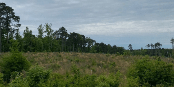
The parcels are in Fowler and Edwards, St. Lawrence County, New York. This location is at the foothills of the northwestern Adirondacks along the West Branch of the Oswegatchie River. The West Branch is a major tributary of the Oswegatchie, which flows into the main branch near the hamlet of Talcville. The surrounding town of Fowler (population of 2,200) is a mosaic of natural pine and hardwood forests, rural communities, and weekend cabin properties.
St. Lawrence County is the largest county in New York State and is home to the Thousand Islands and St. Lawrence International Seaway, connecting the Great Lakes with the Atlantic. Gouverneur (population 3,949) is a 10-mile drive to the northeast along the Route 58 corridor, while Canton is a 40-minute drive to the north. Syracuse and Rochester lie within a two and three-hour drive, respectively.
Access
The land has +/-880′ of frontage on both sides of Sand Road, a graveled town road. Electric power and year-round town road maintenance are .9 miles to the northwest. A transmission power line runs across the land east of Sand Road. A +/-4,400′ long access road exists through the Parcel and down to near the river, serving as a solid base to build a year-round driveway and potential building site near the river.
Property Description
This parcel offers a natural water feature equal to those found in a national park. During lower water levels, the entire West Branch of the Oswegatchie River is channeled through a narrow rock pinch, creating a sluiceway with extreme power, ending in falls, leading to rapids. During high water levels, the river has falls on its eastern side, opposite the sluiceway, divided by a tiny island of trees and bedrock. This stunning location offers any visitor an exciting experience no matter the time of year.
High-quality, large-diameter white pine (average diameter of 17.5″) dominate the forest cover creating exceptional forest aesthetics throughout the land.
Parcel Map
Broker Disclosure: Under agency law, you are considered a customer, unless you have a written brokerage agreement with Fountains Land (in which case you are a client). While you are a customer, Fountains is NOT obligated to keep confidential the information that you might share with us; therefore, you should not reveal any information that could harm your bargaining position.

Tom Gilman, CF
New York Regional Manager & Real Estate Agent
Contact Tom Gilman
Resources
Maps
-
Google Earth IconGoogle Earth
-
Locus Map IconLocus Map
-
Topo Map IconTopo Map
-
IR Map IconIR Map
-
Photo Map IconPhoto Map
View Similar Properties
-
 AvailablePrice Varies By Parcel
Swanson Development
182 AcresMultiple UsesPerry, Houston County, GA -
 Available$105,000
Rolling Hills Ranch #36
11.95 AcresMultiple UsesPineland, San Augustine County, TX -
 Available$60,630
Powell Plantation Tract #1
4.042 AcresMultiple UsesDeBerry, Panola County, TX -
Available$38,310
Powell Plantation Tract #2
2.554 AcresMultiple UsesDeBerry, Panola County, TX