Huntington Peak Forest
Property Details
Property Overview
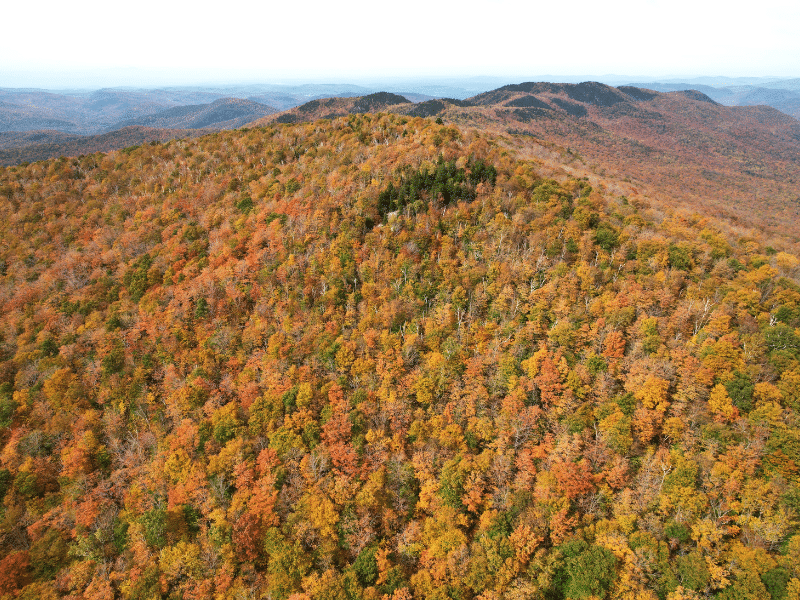
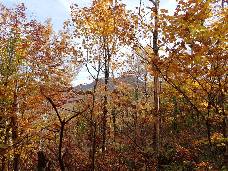
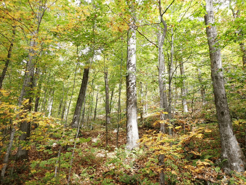
The land’s highest and best use is variable including as a significant recreational parcel, long-term timber investment, and conservation, the latter given its juxtaposition to State Park and Town Forest.
Property highlights include:
- Aesthetically attractive forest stands with a standing timber value of $277,200.
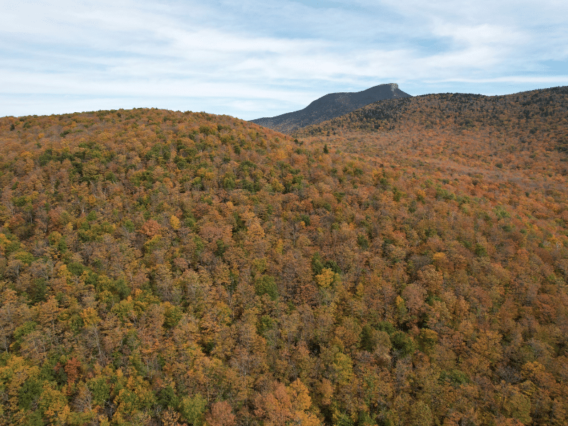
- Scenic landscape that includes a significant peak and long ridgeline that falls onto the adjoining Town Forest.
- Adjacent to Camels Hump State Park.
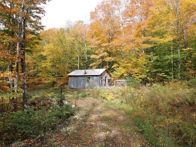
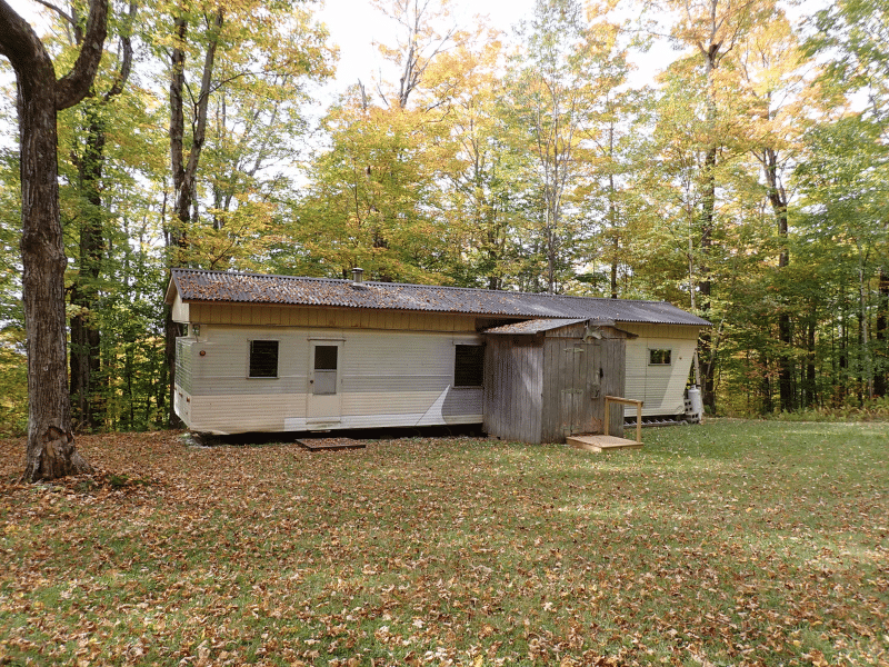
- Three camp leases covering annual tax burden.
- Groomed Nordic ski trails throughout the property.
Location
The property is located in north-central Vermont, within the northern portion of Huntington township. Huntington Village is a small hamlet roughly 3.6 miles to the west, a landscape consisting of widely scattered homes, abundant forestland, and small farms along the Huntington River and other valleys. The land sits on the upper western slopes of the Green Mountain Range and is adjacent to the 21,258 acre Camels Hump State Park. Camels Hump Mountain is tied with Mountain Ellen as Vermont’s third tallest peak, behind Mount Mansfield and Killington. This iconic peak is visible from the land as it’s only a 1.65 mile hike through the woods to the peak or a 6.3 mile drive to the Burrows Trailhead. Additionally, the Huntington Town Forest shares a mutual boundary with the land’s northern border.
Camel’s Hump Nordic Ski Area is a volunteer, non-profit organization (some of its trails are on the property) offering upland skiing with over 35 miles of wooded and open trails covering more than 1500 acres of private and public lands “in the shadow of Camel’s Hump.” The CHNSA website is www.camelshumpskiers.org. The site is 25 miles from Burlington, Vermont’s largest city, and 10 miles from the Richmond Exit on I-89. To the north, Bolton Valley Ski Area is about a 30-minute drive, while Stowe Mountain Resort is slightly under an hour. Boston is a 3.25 hour drive to the southeast.
Access
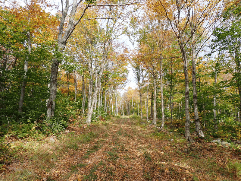
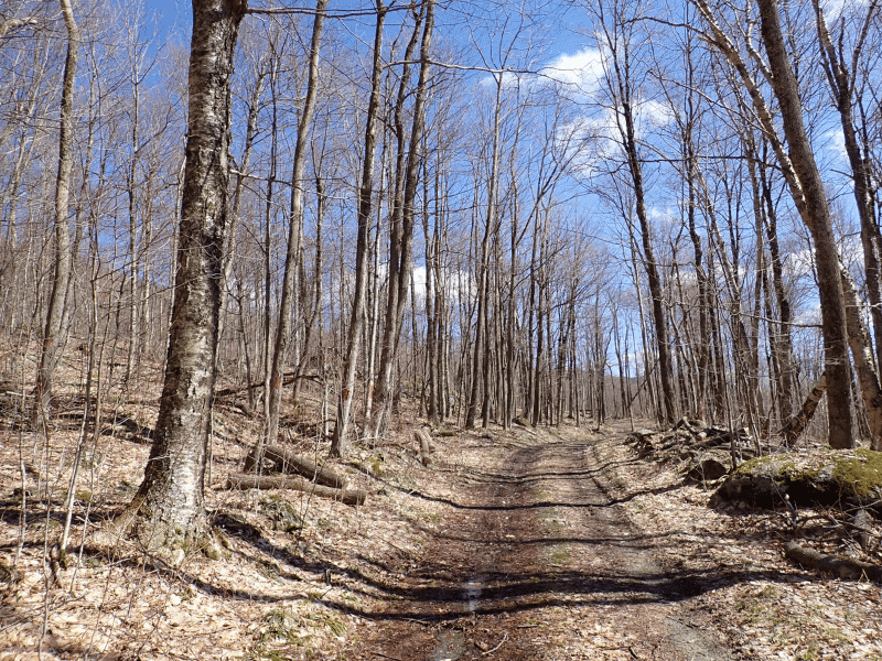
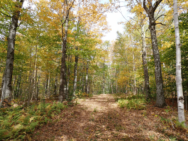
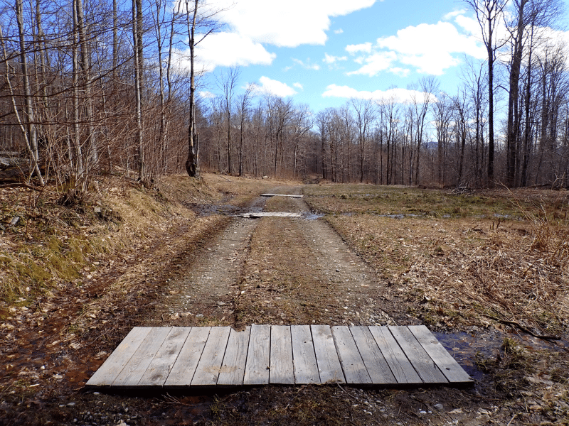
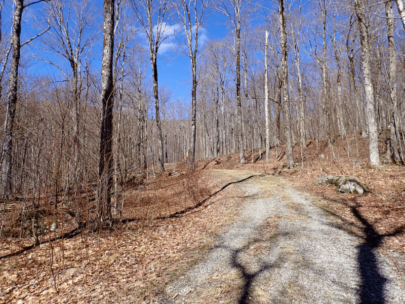
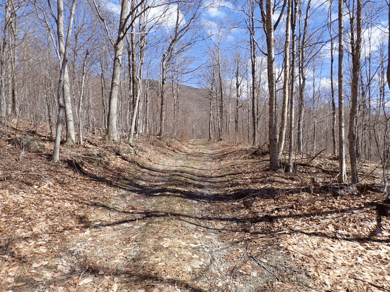
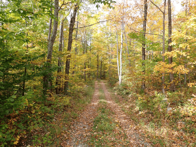
Access to the land is provided by the private Poole Drive road. Once on the land, this road continues 2,800’ to State Land, then continues 1,700’ across State Land before re-entering the property. The road then proceeds another 600’ to a clearing at the forest’s eastern end.
Along the main internal road, a spur road heads north on the western side of the Peak for 1,100’ to a camp. These roads provide good access to high clearance vehicles during the spring, summer and fall months. Many woods/ski trails run off the main road system, accessing all of the lower slopes (see maps for location of roads and ski trails).
Directions – from the junctions of Handy & Bert White Roads, head 0.4 miles on Bert White Road to Stagecoach Road, then 0.5 miles along Stagecoach Road to Poole Drive, then southerly along Poole Drive 0.4 miles to the property boundary.
Property Description
Aside from its timber investment attributes, the land represents an excellent site to pursue year-round recreational activities, whether winter Nordic skiing or summer/fall hiking. The existing camps help off-set annual taxes while other sites on the property offers a new camp build option.
The topography is characterized by a significant unnamed peak in the north-central portion of the property, whose northern ridge extends across the entire length of the adjoining Town Forest lands. The flat top and steep upper slopes of this peak comprise +/-50% of the area of the property, with the balance being more gradual slopes in the east and west. The peak (and some of its steeper slopes) are an attractive hiking destination with rock out-crops, patches of long views where the canopy is broken, and in spots semi-alpine characteristics.
Soil quality ranges from fair to excellent. Very productive woodland soils are located in the eastern and western portions of the property on the gentle to moderate slopes. These are moderately well-drained soils with a high potential for forest productivity. The best soils are found along the toe of steep slopes in the western area. Nearly pure sugar maple stands are found on these soils. Rich site indicator plants, such as maidenhair fern, wild leeks, and blue cohosh, are common.
Small unnamed streams drain the eastern portion of the property. These streams are tributaries of Brush Brook, which in turn is a tributary of the Huntington River. Elevations range from about 1,560’ above sea level in the southwestern corner of the property to 2,480’ at the top of the unnamed peak.
Timber Resource
Timber data in this report are based on a timber inventory conducted in the Winter of 2024 with the purpose of establishing Capital Timber Value (CTV). Fifty inventory points were sampled (1 plot per 5.26 acres), covering a 483’ X 483’ grid using a 15-factor prism. Sampling statistics are ±18.1% standard error for sawlog products and +/-9.7% for all products combined at the 95% confidence interval. The timber data reveal a total sawlog volume of 874 MBF International ¼” scale (3.3 MBF/acre), with 4,492 pulpwood cords (17.1 cords/acre). The combined total commercial per acre volume is 23.8 cords, a figure about average for the region. Stumpage values were assigned to the volumes in March of 2024, producing a property-wide Capital Timber Value (CTV) of $277,200 ($1,054/commercial acre). See the Timber Valuation in this report for details.
Species Composition:
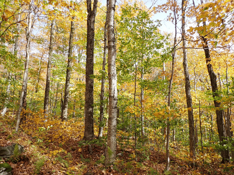
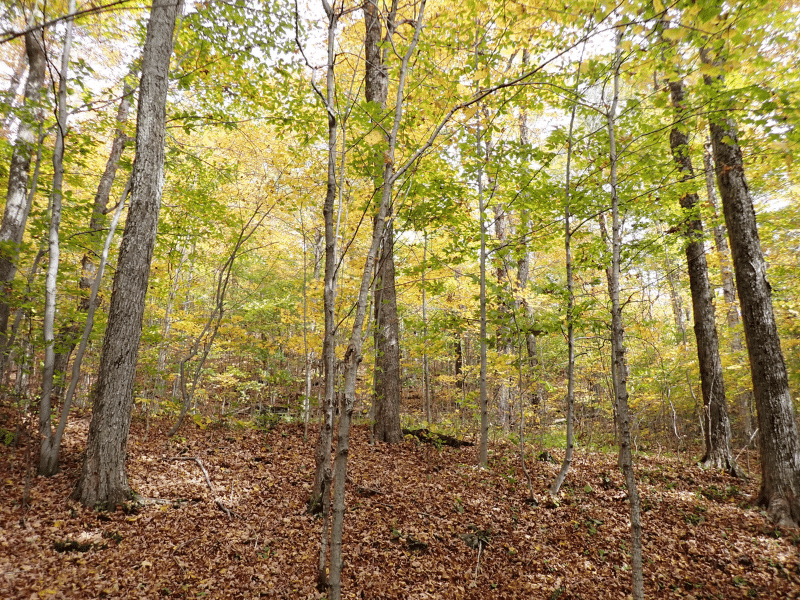
The species composition is 100% hardwoods, which is common for well-drained, upland sites. Species composition for all products combined is led by sugar maple (66%), followed by yellow birch (20%), American beech (8%), white ash (3%), and white birch (1%). Not surprising, the sawlog volume breakdown is similar, consisting largely of sugar maple (78%) with a strong cohort of yellow birch (16%), and a small level of White ash (5%), species with historical strong demand.
Stocking and Stem Quality:
Forest density is generally represented by fully stocked stands covering all of the acreage. The average Basal Area (BA) is 88 ft2 on 174 stems/acre. Stem quality is generally very good with Acceptable Growing Stock (AGS) BA at 54ft2 per acre. Notable, is the acceptable growing stock is high for the main species with sugar maple at 76%, yellow birch at 89%, and white ash at 95%. Having these preferred species possessing such high stem quality, allows for greater future veneer products and is also a testament of the long history of professional forest management that has positively shaped this forest resource.
Parcel Map
Broker Disclosure: Under agency law, you are considered a customer, unless you have a written brokerage agreement with Fountains Land (in which case you are a client). While you are a customer, Fountains is NOT obligated to keep confidential the information that you might share with us; therefore, you should not reveal any information that could harm your bargaining position.

Zach Jaminet
Vermont & New Hampshire Real Estate Agent
Contact Zach Jaminet
Resources
Maps
-
Google Earth IconGoogle Earth
-
Locus Map IconLocus Map
-
Topo Map IconTopo Map
-
IR Map IconIR Map
-
Photo Map IconPhoto Map
View Similar Properties
-
 Available$106,807
Denning Pines Tract #1
11 AcresTimberlandDenning, San Augustine County, TX -
 Available$73,111
Denning Pines Tract #2
6 AcresTimberlandDenning, San Augustine County, TX -
 Available$127,252
Denning Pines Tract #3
13 AcresTimberlandDenning, San Augustine County, TX -
 Available$167,544
Denning Pines Tract #4
17 AcresTimberlandDenning, San Augustine County, TX

