
Egypt Farm
Property Details
Property Overview
Egypt Farm offers 40 acres of well-managed timberland in the upper Piedmont region of middle Alabama in a scenic, recreation-rich setting.
- Rolling terrain with elevations from 940 to 1,200 feet above sea level
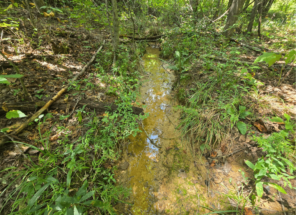
- A perennial creek runs along the eastern boundary
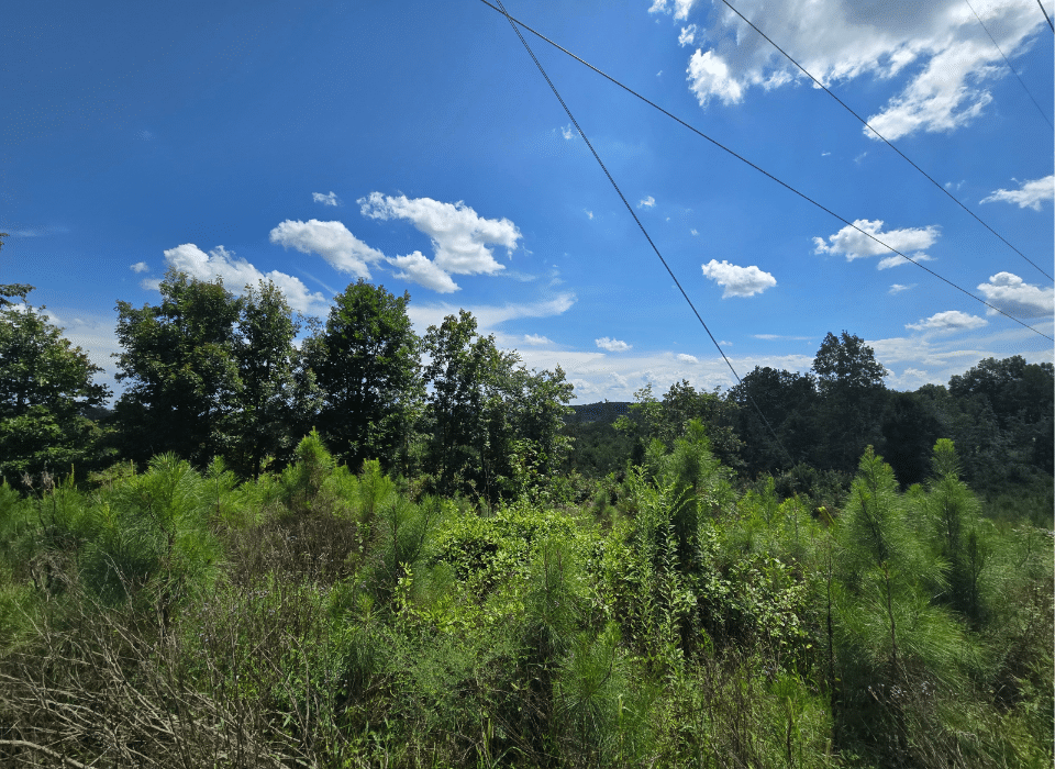
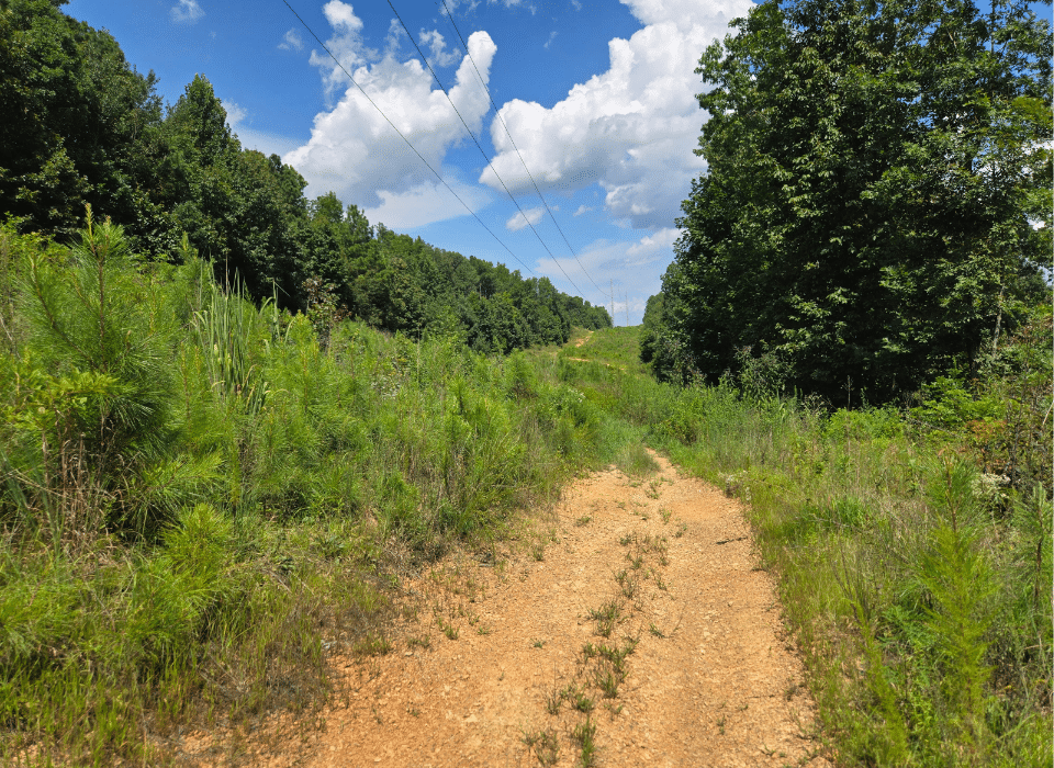
- Direct access to power through an existing right-of-way
- Convenient location about 10 miles from Gadsden, Alabama
- Close to the Coosa and Tennessee Rivers and area lakes
Location
Egypt Farm is located in the upper Piedmont region of middle Alabama, just south of the Tennessee River plateau, an area known for its rolling hills and valleys. The tract is bordered by other timbered properties. The Coosa and Tennessee Rivers, along with several of their reservoirs (Lake Weiss, Lake Guntersville, and Lake Neely Henry, to name a few), are all an easy drive away. This part of Appalachia also offers many recreational opportunities tied to nearby National and State Parks. US Highway 431 is just minutes from the property, and the city of Gadsden, Alabama, about 10 miles to the southeast, offers fuel, groceries, dining options, and a medical center. Several small regional airports serve the area, and the Birmingham airport is about an hour away.
Access
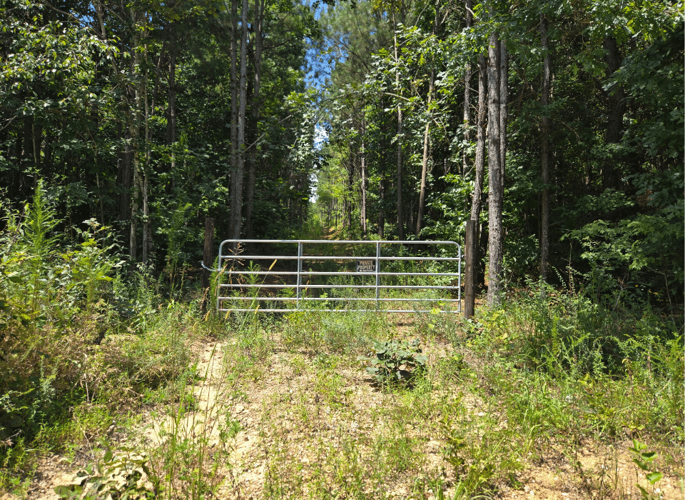
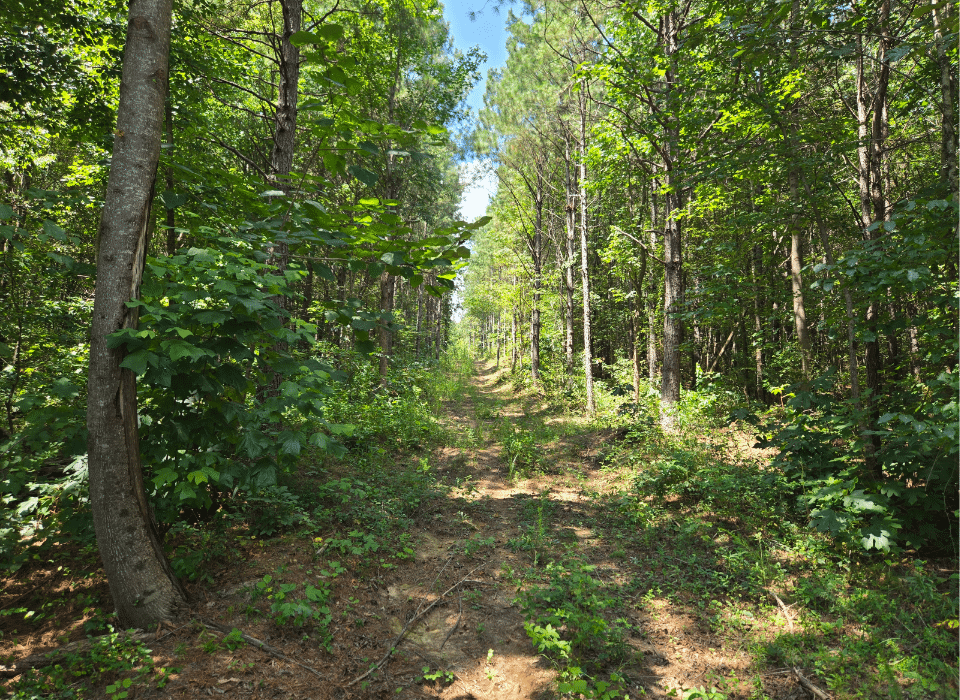
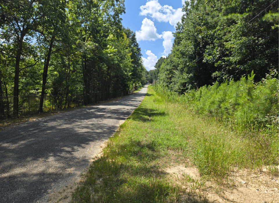
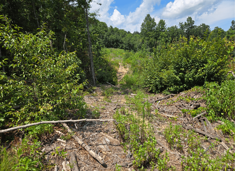
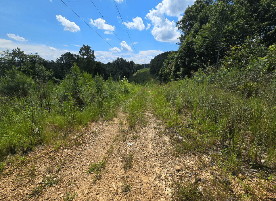
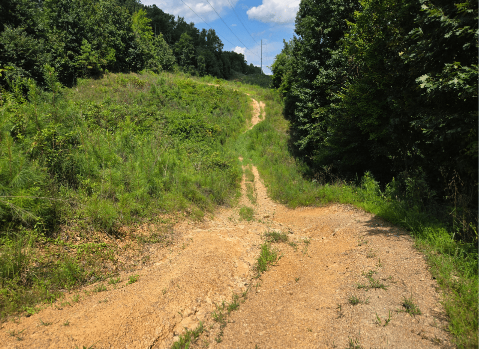
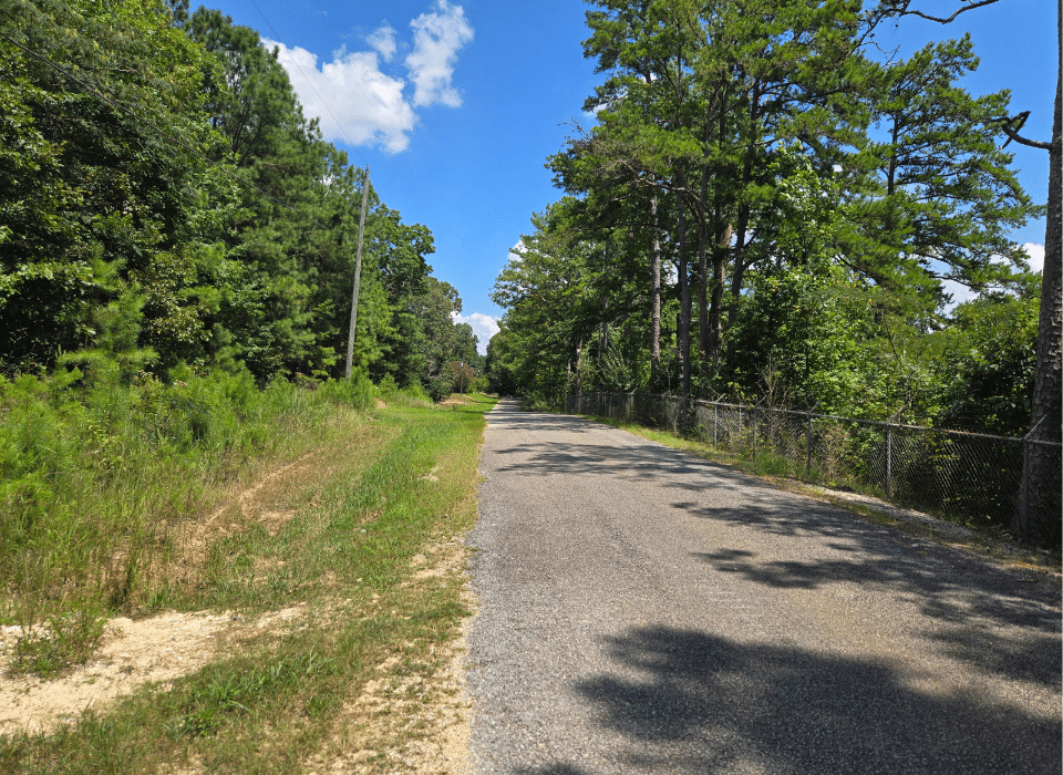
At present, Egypt Farm is accessible by permission across other properties. We have permission to view the tract, but showings must be by appointment to ensure neighbors are appropriately notified. Access from Steel Plant Lake Road to the south has been used for timber operations in the past. The tract also has direct access to power through the power line right-of-way that crosses the property, along with a service road maintained by the power company along this right-of-way. The recent timber harvest has created multiple trails where timber was skidded; these could be improved into ATV- or 4×4-worthy trails should a new owner desire.
Property Description
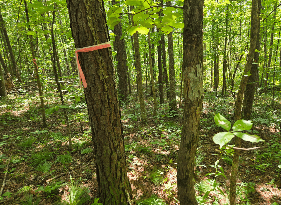
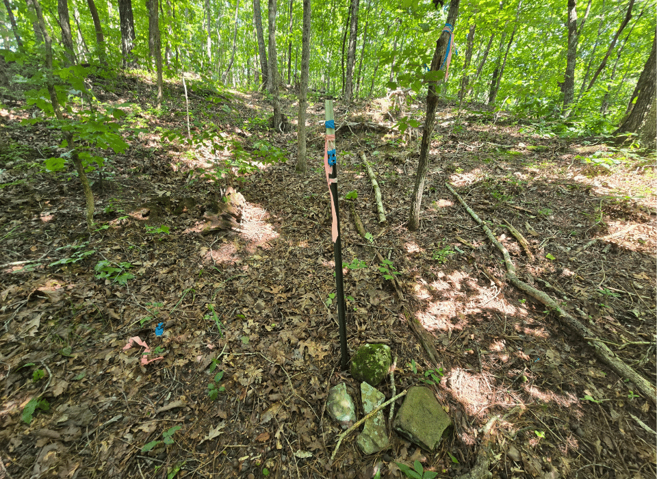
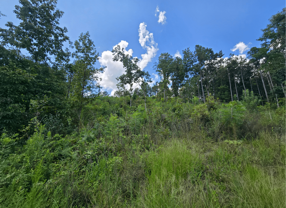
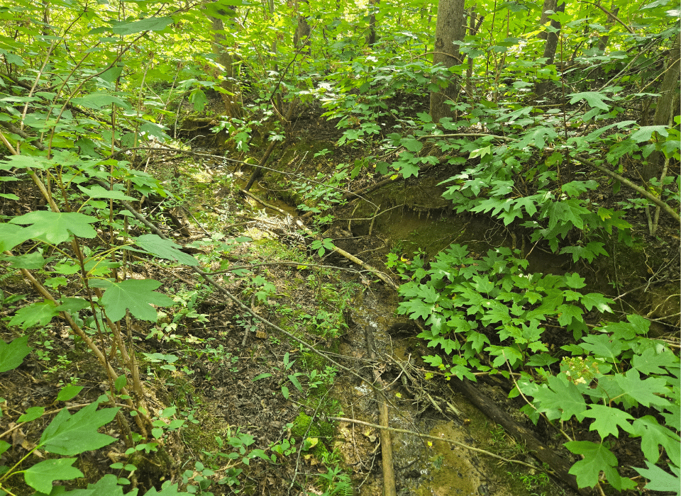
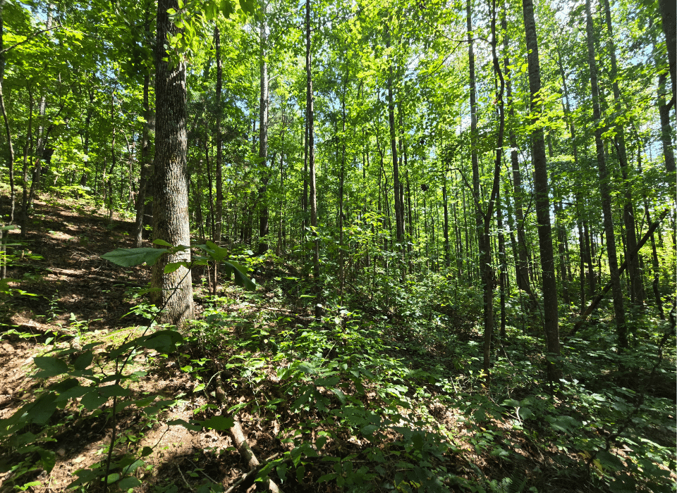
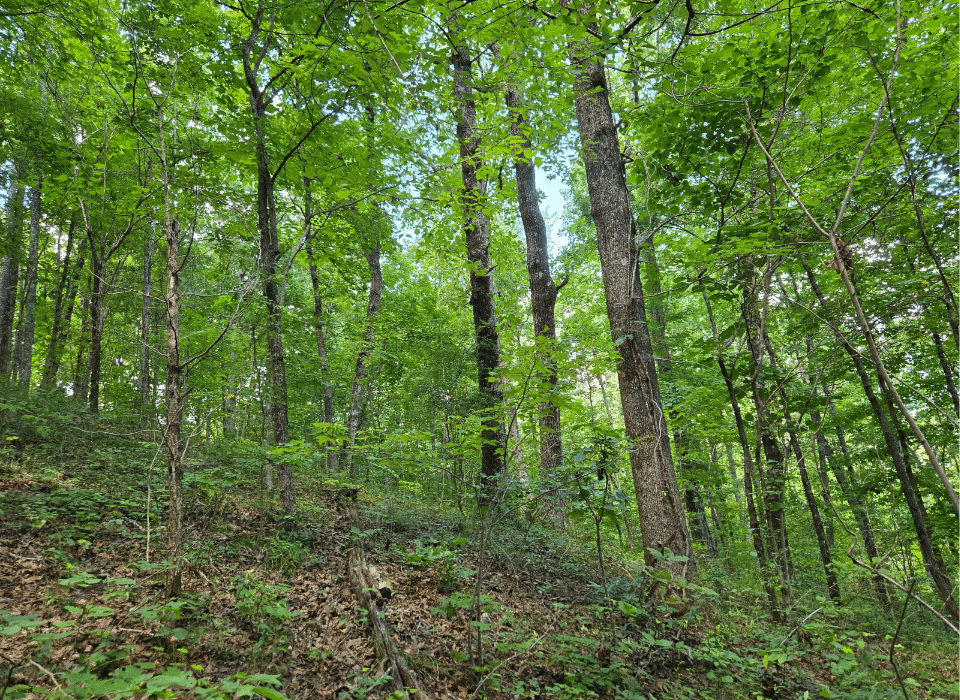
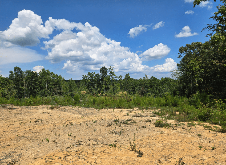
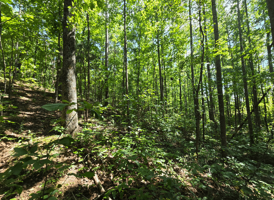
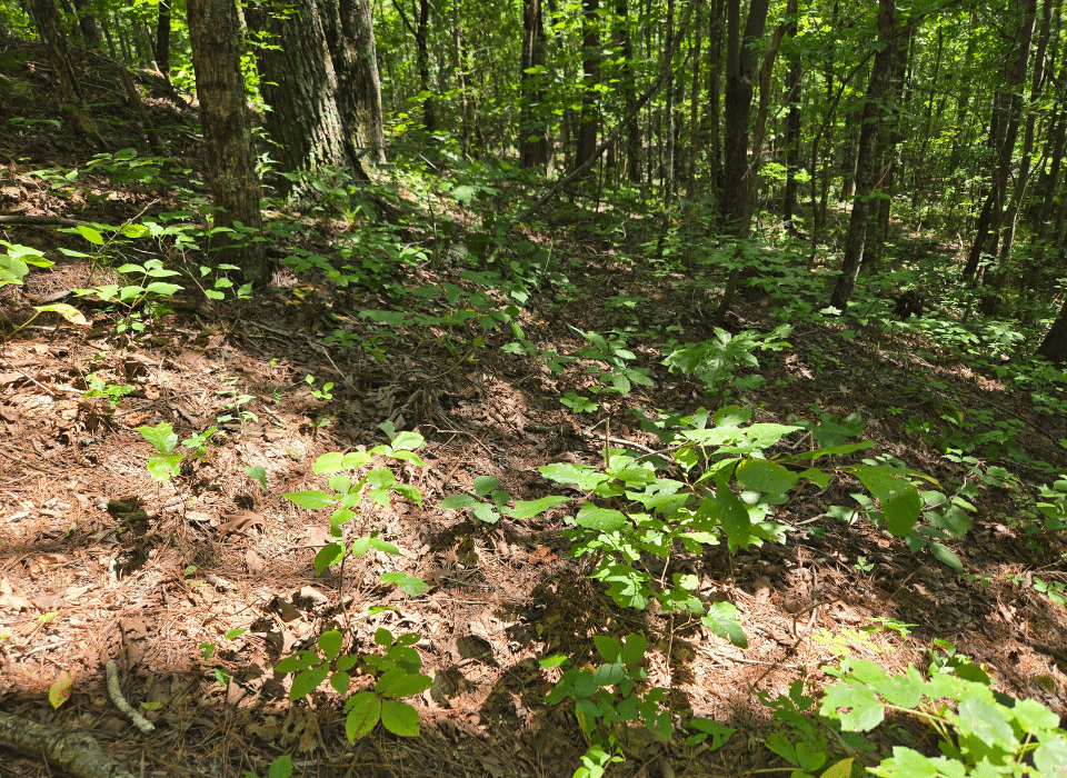
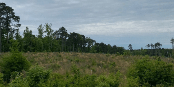
This tract has been in timber production under the current ownership and is also used for recreation. Access is currently by permission from neighboring landowners; however, if legal access can be obtained, it may open the door to residential use. The property features rolling terrain with elevations ranging from 940 to 1,200 feet above sea level, and its soils are well-drained and suitable for timber production. A perennial creek runs north to south just inside the eastern boundary, and the recently harvested areas are providing ample forage for game species.
Timber Resource
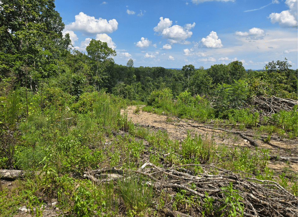
The operable portions of this tract were harvested about two years ago and are regenerating naturally with a mix of hardwood and pine species. If timber production is the primary objective, we recommend replanting the cleared acreage with genetically improved loblolly pine, which will provide the best growth rates going forward.
If wildlife or aesthetics are a higher priority, planting longleaf pine may be a viable option, as it allows for periodic prescribed burning. If timber management is not an objective, the tract is well suited for conversion to pasture or agricultural use while the vegetation is still low and largely undeveloped.
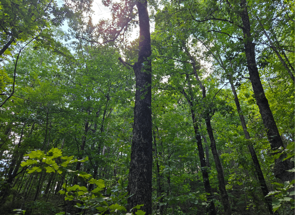
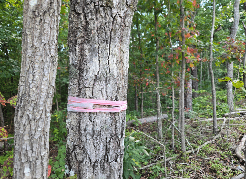
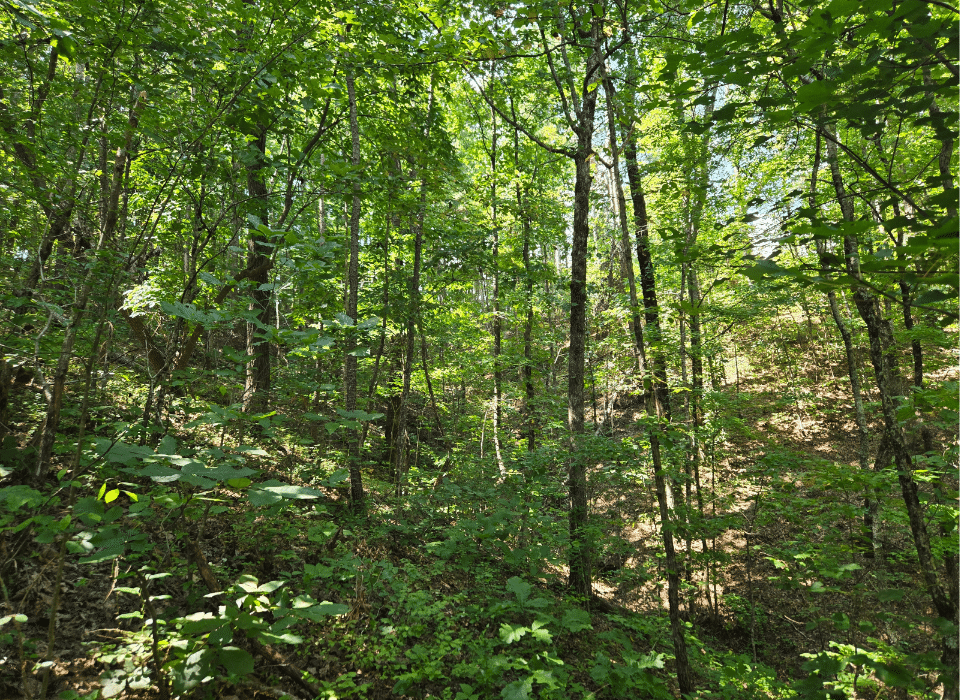
Hardwood timber was left standing along the creek and slopes. While harvesting some of this hardwood may be an option in the future, it currently adds to the property’s diversity and beauty while helping protect the integrity of the stream.
Parcel Map
Broker Disclosure: Under agency law, you are considered a customer, unless you have a written brokerage agreement with Fountains Land (in which case you are a client). While you are a customer, Fountains is NOT obligated to keep confidential the information that you might share with us; therefore, you should not reveal any information that could harm your bargaining position.

T. R. Clark, ACF, RF
Alabama Regional Manager & Broker
Contact T. R. Clark
Resources
Maps
-
Google Earth IconGoogle Earth
-
Locus Map IconLocus Map
-
Topo Map IconTopo Map
-
IR Map IconIR Map
-
Stand Type Map IconStand Type Map
-
Photo Map IconPhoto Map
View Similar Properties
-
 AvailablePrice Varies By Parcel
Swanson Development
182 AcresMultiple UsesPerry, Houston County, GA -
 Price Improvement$60,630 $44,500
Powell Plantation Tract #1
4 AcresMultiple UsesDeBerry, Panola County, TX -
Price Improvement$38,310 $28,100
Powell Plantation Tract #2
2 AcresMultiple UsesDeBerry, Panola County, TX -
Price Improvement$37,485 $27,500
Powell Plantation Tract #3
2 AcresMultiple UsesDeBerry, Panola County, TX