
Bellmont Pinnacle – Old Tax Lot
Property Details
Property Overview
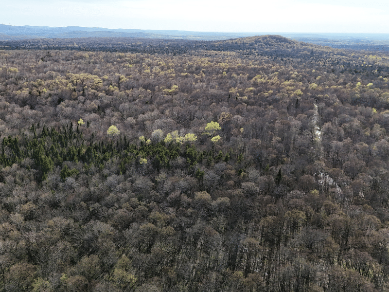
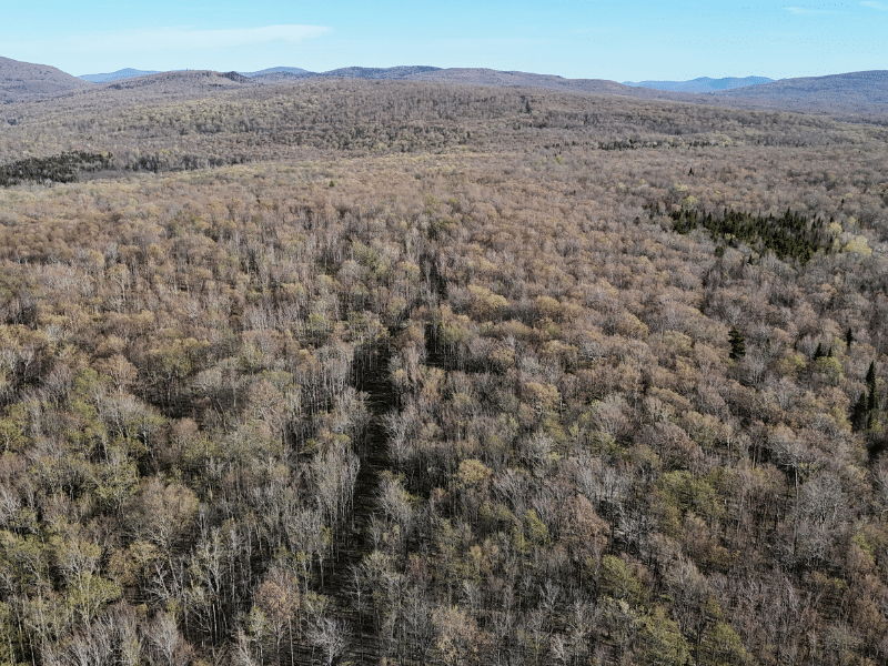
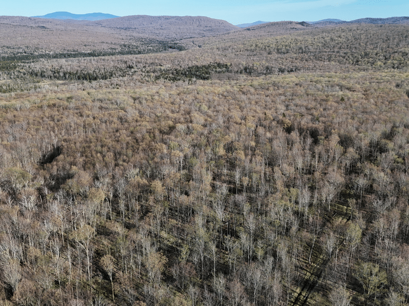
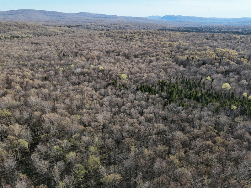
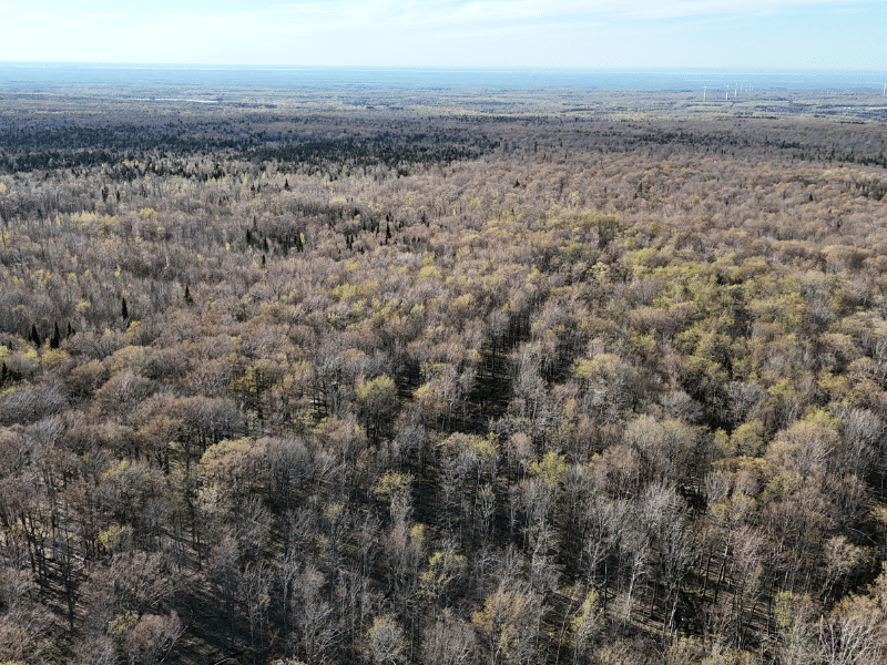
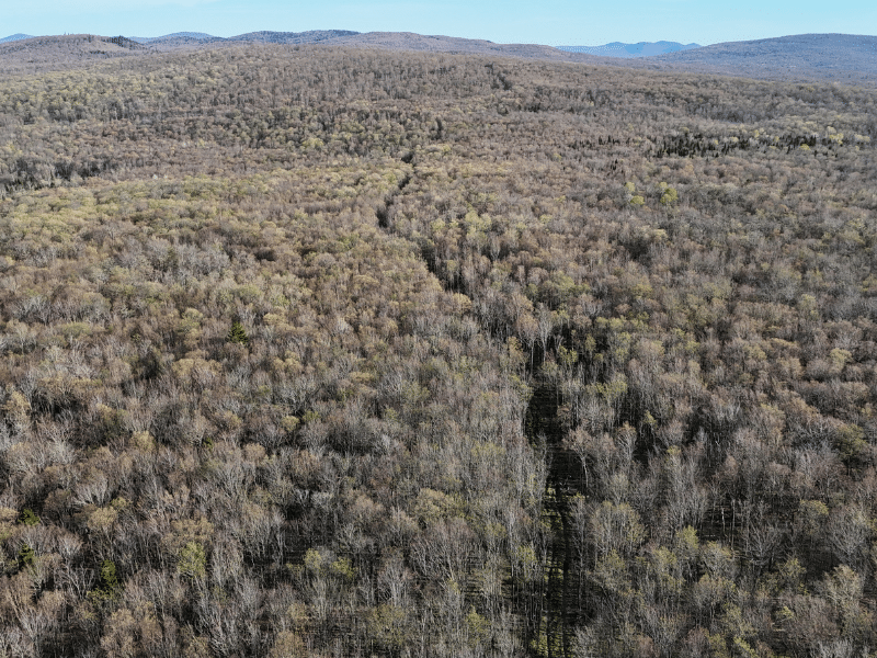
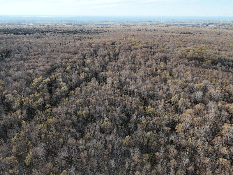
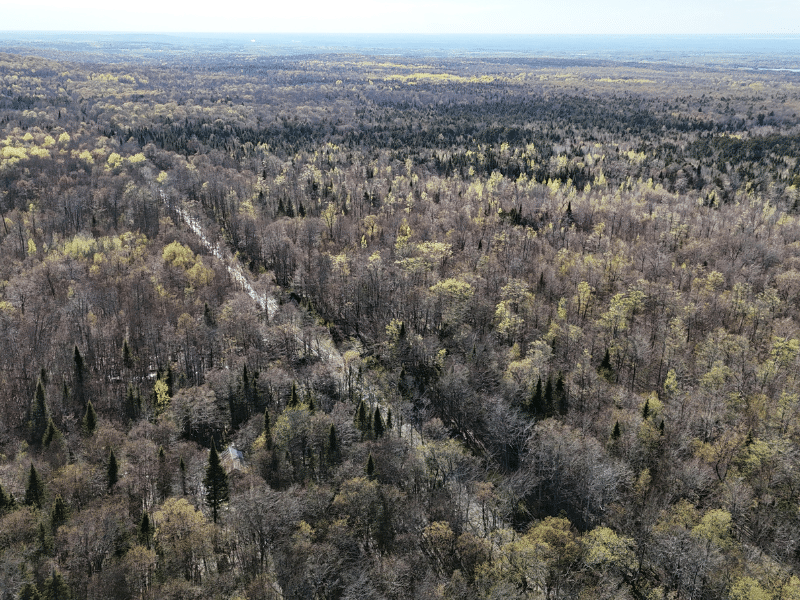
The Bellmont Pinnacle Parcels offer three individually managed forest parcels along seasonal access old-town roads. The Bellmont-Pinnacle Road Parcels have rolling topography, streams, abundant internal trails, abundant wildlife, long-term timber appreciation opportunities, and lots of privacy. Early homesteaders cleared this land for pasture in the mid-1800s. Since then, as this area of New York State transitioned away from widespread farming practices, it has reverted to forest. Over the years, former owners have used parcels for firewood, hunting, and local wood products. Each parcel is remote, with no utilities available, but it offers strong recreational and seasonal cabin site attributes, which its long-term forestry potential can boost. According to the seller, the sale of this parcel will be structured to accommodate a ‘1031 Exchange’ to the best of the attorney’s, seller’s, and buyer’s ability.
Location
All three parcels are located in the Town of Bellmont, south of County Route 24 (Brainardsville Road) and Bellmont Center, in the north-central section of New York’s Adirondack Park. The northern sections of the Chazy Highlands Wild Forest, a large wilderness within the park, are situated just south of the parcels.
This scenic area lies along the transition from the dense, well-timbered Adirondack forests to the south to the rolling St. Lawrence River Valley to the North and West. The surrounding landscape is characterized by mostly undeveloped forestland.
The neighboring ownership patterns comprise a patchwork of seasonal camps, hunting camps, privately owned working forests, timber company tracts, and state forestland. Also nearby is the Titus Mountain Ski Center, 15 miles to the southwest.
The largest population centers nearby are the Village of Malone (5,340), 10 miles to the west, and the small City of Plattsburgh (18,900), a 50-minute drive to the east. Both communities offer a full range of retail and dining amenities. The Olympic Village of Lake Placid, one of Adirondack’s most popular four-season resort towns, is a 75-minute drive from these parcels. Albany, the state’s capital and home of the Albany International Airport, is a 3-hour drive. Montreal, Canada, is a 1.75-hour drive, and Ottawa, Canada, is a 2.5-hour drive.
Access
Pinnacle Road is maintained year-round for about 1.14 miles south of Brainardsville Road, ending just before Collins Creek. Beyond this, it’s seasonally maintained and suitable for four-wheel drive vehicles for 0.83 miles until a sharp east turn. This section, East Pinnacle Road, has minimal improvements made by landowners and is best for four-wheel drive vehicles or ATVs during dry months for 0.56 miles to the Canadian and Verra Parcels. The road becomes more of a trail from there, traveling 0.40 miles to the Old Tax Lot Parcel.
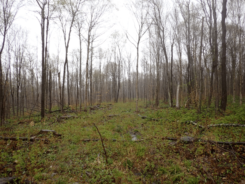
A primary skid trail from previous timber harvests crosses three adjoining landowners. A neighboring landowner is working on the Deeded ROW from the east. Access is supported by a well-maintained network of skid trails established during timber operations five years ago, and an old woods road from the south and east passes through the southwest portion of the parcel.
Property Description
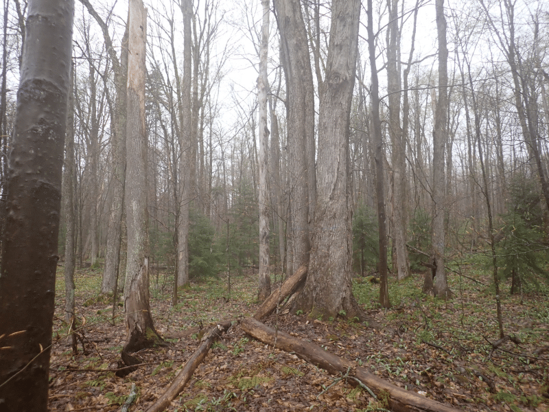
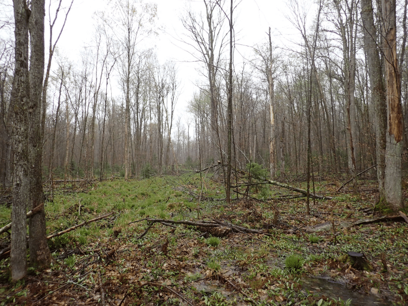
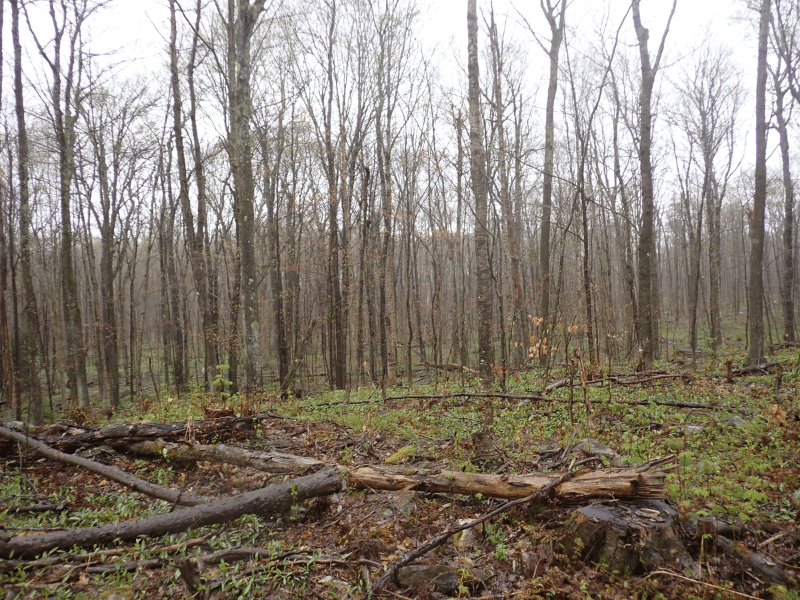
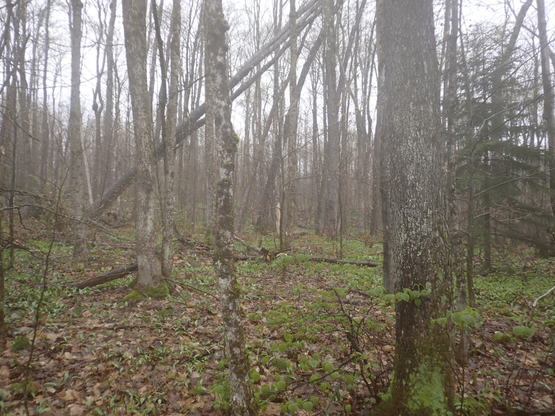
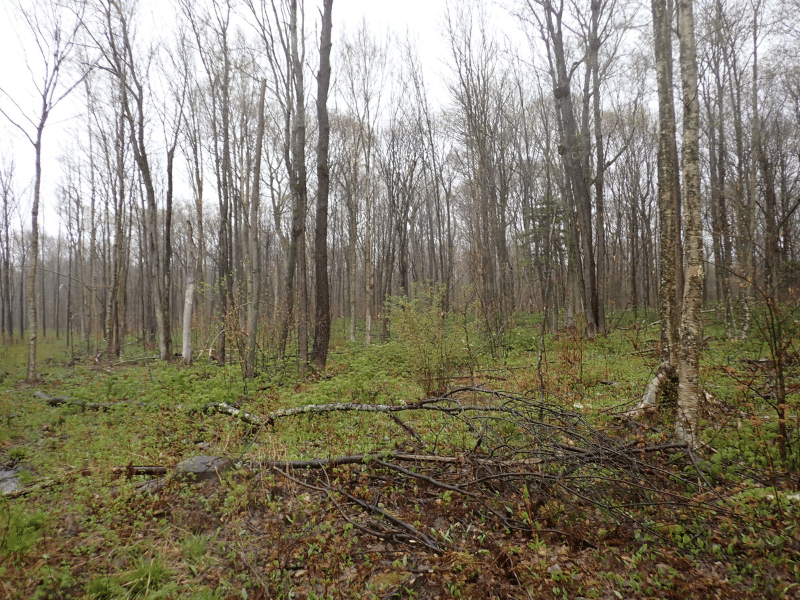
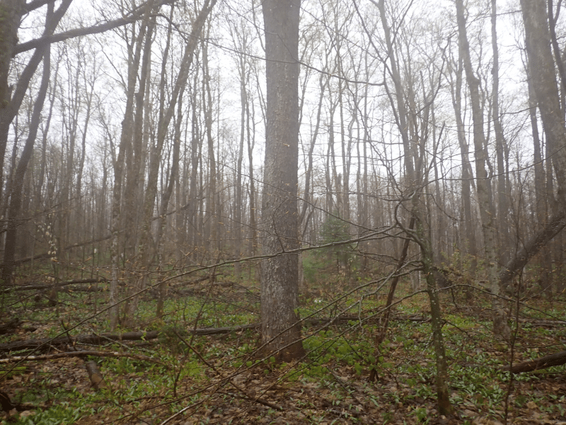
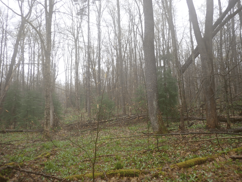
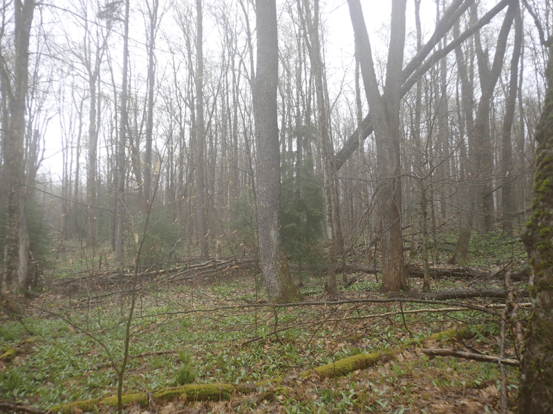
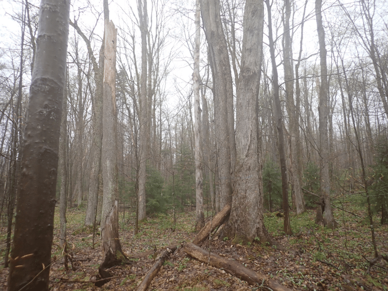
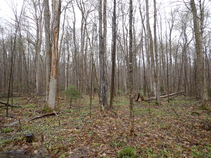
The land features gently sloped topography, with side hills to the east and higher terrain along the western boundary. There are at least three to four intermittent streams that flow downhill to the east, primarily located in the southern half of the property. Most of the land is well-drained and has productive soils that are ideal for hardwood timber development.
The private land directly to the south is part of the Sable Highlands Conservation Easement area managed by the New York State Department of Environmental Conservation (DEC). Some public access and recreational activities are permitted in designated land corridors, albeit with certain restrictions.
In addition to its long-term potential for hardwood timber appreciation, this land offers good internal trails, excellent wildlife habitat for deer and turkey, and enjoyable terrain. These features create opportunities for various recreational activities, hunting, and future seasonal camping.
Timber Resource
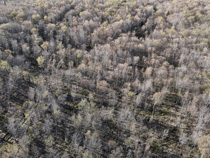
Historically, some portion of the land was used as agricultural pastureland over 100 years ago. For the past 50 years, its primary use has been for the production of sawtimber and other wood products, with previous owners conducting timber harvests. In 2021, the current owner conducted a managed improvement harvest operation on 40 acres to enhance the species composition and stem quality of the future forest.
The timber data presented here is based on a forest management plan timber inventory conducted by the owner’s forest consultant. This inventory reveals a total volume of 21.58 cords per acre. Regional stumpage values were then applied, resulting in an estimated capital timber value (CTV) of approximately $50,000 for the entire parcel.
There are four designated forest stands: 72 acres consist of Northern Hardwood Large Poletimber, while 19.54 acres are Northern Hardwood Small Sawtimber. Overall, the forest’s overstory stocking is slightly above average for the region, with a basal area (BA) of 96 square feet per acre. The overall total density for the four major species is as follows: Sugar Maple 40%, Yellow Birch 19%, Red Maple 14%, and Black Cherry 13%. There is also a smaller component of White Ash at 5%.
Parcel Map
Broker Disclosure: Under agency law, you are considered a customer, unless you have a written brokerage agreement with Fountains Land (in which case you are a client). While you are a customer, Fountains is NOT obligated to keep confidential the information that you might share with us; therefore, you should not reveal any information that could harm your bargaining position.

Tom Gilman, CF
New York Regional Manager & Real Estate Agent
Contact Tom Gilman
Resources
Maps
-
Google Earth IconGoogle Earth
-
Locus Map IconLocus Map
-
Topo Map IconTopo Map
-
IR Map IconIR Map
-
Photo Map IconPhoto Map
View Similar Properties
-
 AvailablePrice Varies By Parcel
Swanson Development
182 AcresMultiple UsesPerry, Houston County, GA -
 Price Improvement$60,630 $44,500
Powell Plantation Tract #1
4 AcresMultiple UsesDeBerry, Panola County, TX -
Price Improvement$38,310 $28,100
Powell Plantation Tract #2
2 AcresMultiple UsesDeBerry, Panola County, TX -
Price Improvement$37,485 $27,500
Powell Plantation Tract #3
2 AcresMultiple UsesDeBerry, Panola County, TX