Coolidge Range Forest
Property Details
Property Overview
The property represents a dual -purpose acquisition, blending together a prime forestland investment opportunity along with an attractive building site in a quiet, end-of-the-road location.
Notable highlights include:
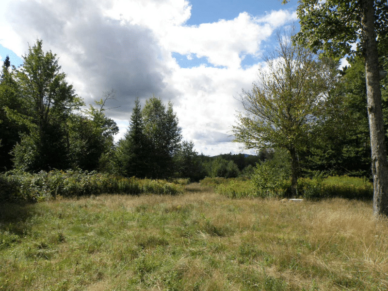
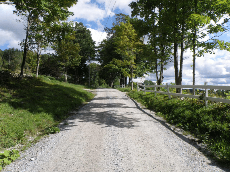
- End-of-the-road access with electric power nearby and level terrain suitable for homesite development;
- Attractive mountain views with tree clearing;
- Okemo Ski Resort located 12 miles to the south;
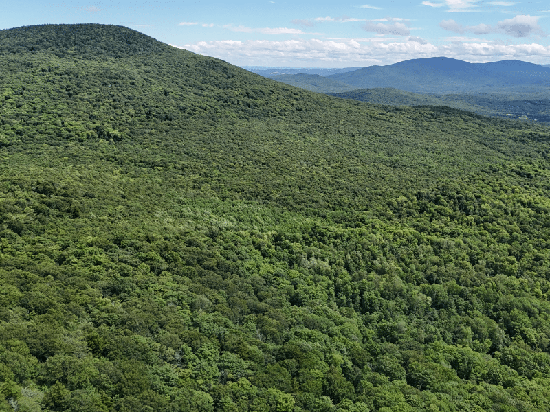
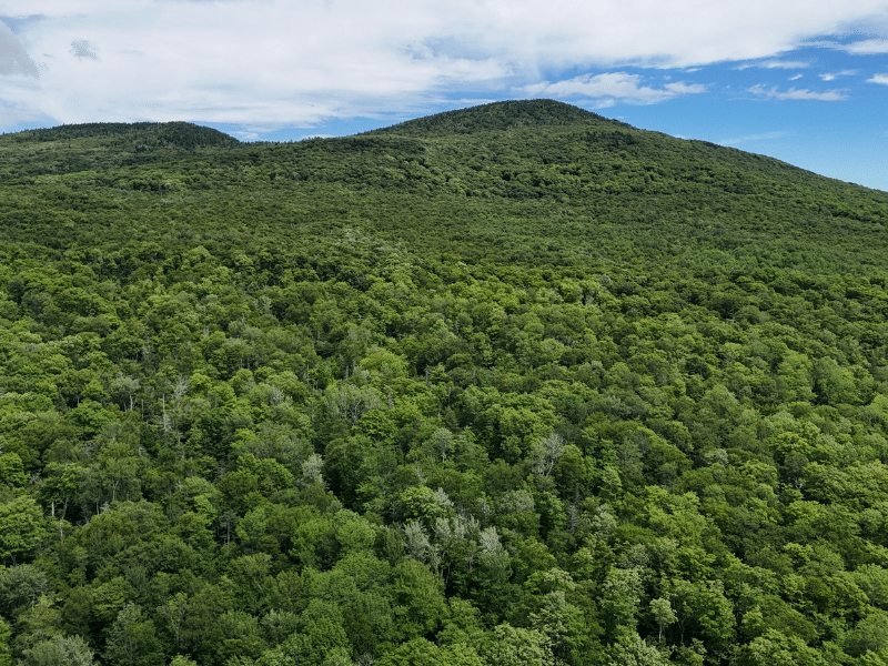
- Adjacent State Lands with a high mountain peak entirely on the land;
- High-quality timber resource dominated by northern hardwoods, valued at approximately $367,700;
- Sugarbush opportunity from a considerable sugar maple resource, offering 9,000 taps.
Location
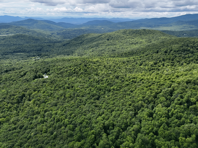
The forest lies in south-central Vermont within the rural town of Shrewsbury. Locally, the land sits in a mostly forested region with small farms in the valleys and forestland on the hillsides and higher elevations. Homes near the property are widely scattered.
Regionally, the land is in a transitional zone: agricultural land extends to the south and west, while abundant forestland lies to the east, primarily consisting of the Coolidge State Forest, which is adjacent to the property.
The land sits between two main transportation corridors, Route 100, which is 12 miles to the east, and Route 7, which is 11 miles to the west. Route 103 connects the two and is 5 miles to the south.
The largest nearby town is Rutland (Pop. 16,000), located 12 miles to the northwest. Equally distant to the southeast is Ludlow, home of Okemo Ski Resort.
New York City, New York is a 4.25-hour drive to the south and Boston, Massachusetts is a 3-hour drive to the east.
Access
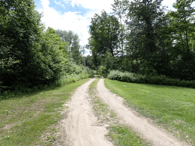
Legal access to the forest is provided by Saltash Road, a private graveled road that leads off Bailey Road for +/-210’, upon which the land is on the right side of the road. This road continues an additional +/-680’ at which point the driveway to the camp is on the right. Electric power runs along Saltash Road.
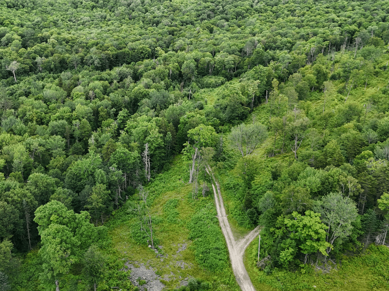
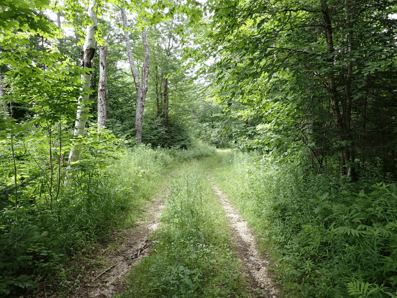
Access throughout the property is straightforward via old skid roads and an abandoned VAST trail, which could be easily cleared. The land is moderately sloped overall, although the property becomes steeper toward the top of the ridge.
Directions – starting from the house address 856 Bailey Road, Shrewsbury, Vermont, head northwest for +/-210’ to Saltash Road then proceed up Saltash Road to the property boundary on the right.
Property Description
The property is found in a valley in the shadow of Saltash Mountain, part of the Coolidge Range of the Green Mountains. These mountains are the inspiration behind Vermont’s nickname, the “Green Mountain State” and contain rugged terrain as part of the Appalachian Mountain Range. These mountains have shaped Vermont culture since discovery in colonial times, and are a culturally important part of the state which contain ski resorts, state and federally-owned public lands, and small towns which dot the forested landscape, which are popular recreational destinations.
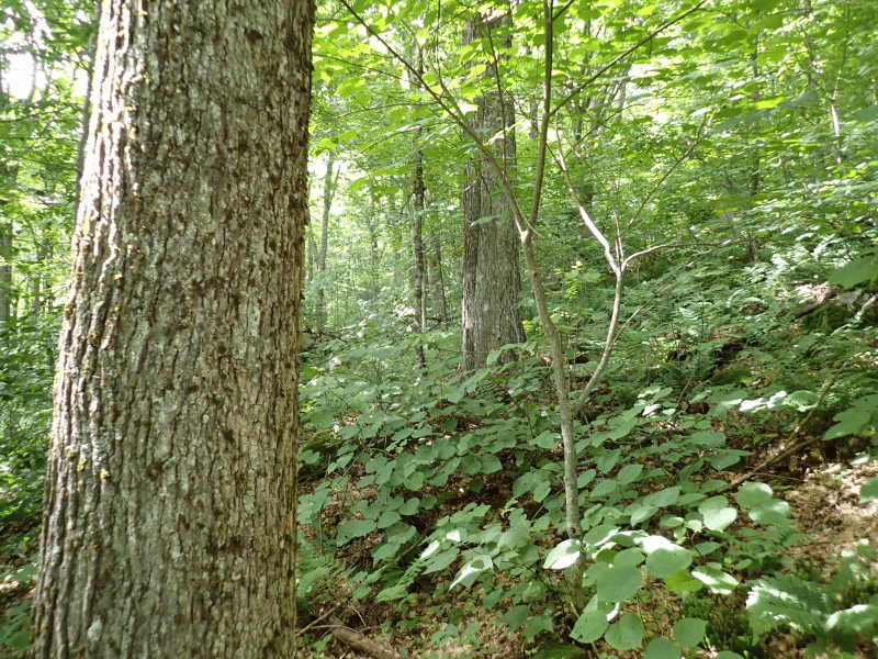
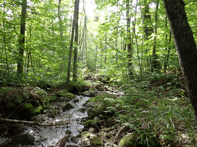
The property is situated on a side hill of a large ridge which makes up Saddle Mountain and Saltash Mountain. A defining feature of the property is the vast state lands abutting it, which include the Plymsbury WMA and the Coolidge State Forest, both open to public recreation. Slopes are generally moderate to steep, especially in the north where the land meets the large ridgetop whose 2,681’ peak sits entirely within the property. Due to it’s location on a hillside, mountain streams, both year-round and intermittent, can be found running south. The property’s southerly aspect ensures ample sunlight hitting the property throughout the day.
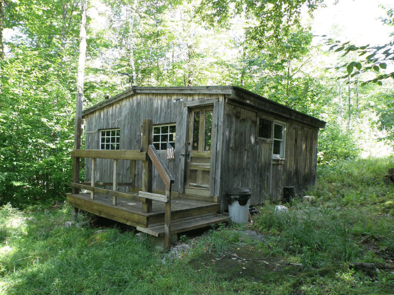
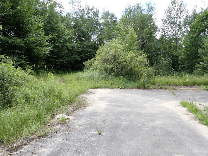
On the property is a rustic off-grid Vermont camp, which offers charm and an insight into the famous Vermont “deer camp“ culture. Additional building sites for a permanent home are available nearer to the private access road, where electrical power can be found. The easiest building site is level, and has an old logging access that could be repurposed into a driveway. Local zoning allows for homes if approved by the Town.
Timber Resource
Timber data in this report is based on a timber inventory conducted in August 2021, by Greatwoods, LLC, the property owners and specialists in forest management services, with the purpose of establishing Capital Timber Value (CTV). 65 inventory points were sampled (1 plot per 3.47 acres), using a 20-factor prism. Sampling statistics are ±9.7% standard error for all products combined at the 95% confidence interval. Upon applying growth for 2 seasons, the timber data reveal a total sawlog volume of 1,243 MBF International ¼” scale (5.5 MBF/acre), with 2,834 pulpwood cords (12.5 cords/acre). Combined total commercial per acre volume is 23.5 cords, a figure at or above average for the region. Stumpage values were assigned to the volumes in May of 2024, producing a property-wide Capital Timber Value (CTV) of $367,700 ($1,628/commercial acre). See the Timber Valuation in this report for more details.
Species Composition:
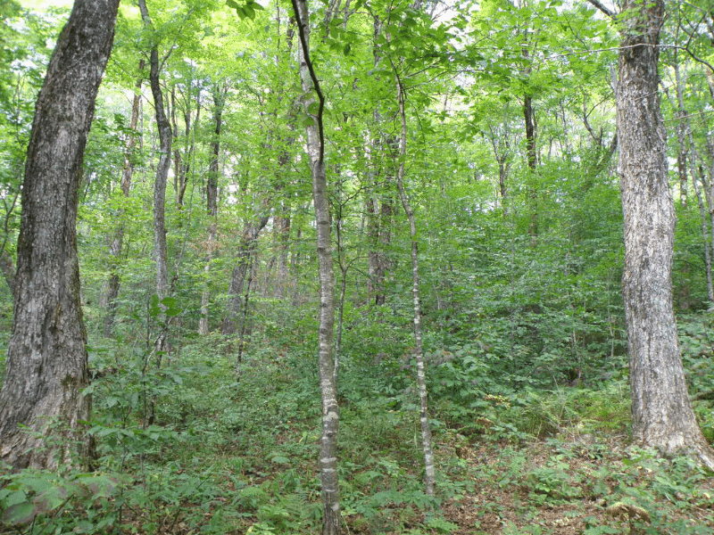
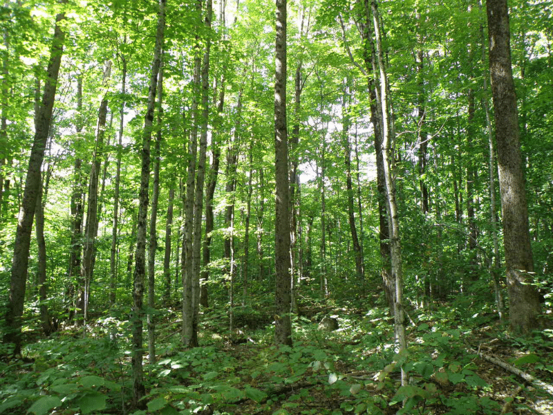
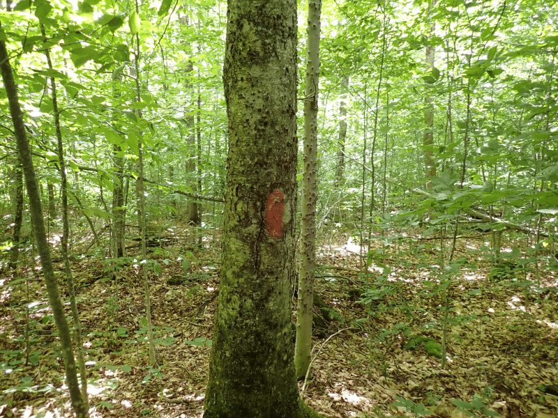
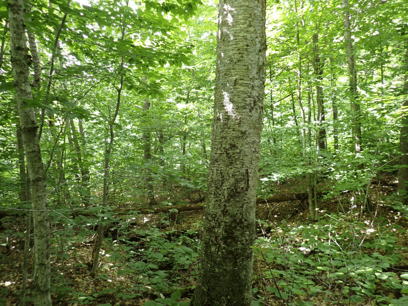
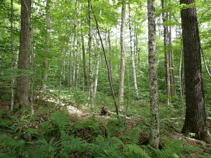
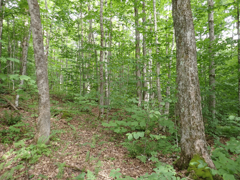
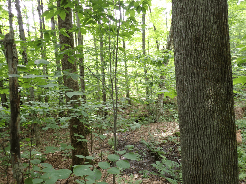
The species composition is 98% hardwoods and 2% softwoods. Species composition for all products combined is led by sugar maple (48%), followed by yellow birch (21%), white ash (12%) and beech (10%), with red maple, spruce/fir, and misc. hardwoods as associates. The sawlog volume breakdown is also led by sugar maple (51%), followed by yellow birch (23%), white ash (13%), beech (5%), and red maple (2%), along with small levels of various common associates. The primary species have benefited from strong historical (and current) markets for their various end products, ensuring the likelihood of robust asset appreciation from stumpage price growth. Additionally, previous forest management has focused on retaining these high-value species.
Stocking and Stem Quality:
Forest density is represented by fully and well-stocked stands. The average Basal Area (BA) is 80 ft2 on 127 stems/acre, which is considered adequately to well-stocked for the timber type. Stem quality is excellent within all size classes, owing to previous improvement harvesting.
Sawlog Value/ Thinning History:
Sawlog value is dominated by sugar maple (57%) followed by yellow birch (23%), and white ash (16%), with the small balance held by red maple, spruce/fir and others.
The 2022 forest management plan identified 3 forest stands. In 2015, stands 2 & 3 were treated using partial overstory removal, a treatment used after previous harvesting establishes abundant stocking of young timber. These treatments, designed to release young timber to sunlight, are scheduled to continue into the future as the two age classes of the forest mature.
Diameter Distribution:
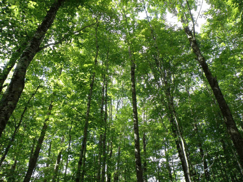
The diameter distribution indicates a wide range of size classes, including a large diameter age class, indicative of a past management regime aimed at producing high quality, mature stems. Average diameter for all products combined is 13.5”, while the average sawlog diameter is nearly 16”, indicating a sawlog crop nearing financial maturity. Eighty-three percent of the volume consists of acceptable growing stock, meaning the majority of the stocking possess high quality, ensuring future, robust asset appreciation.
Sugarbush Option
The timber data indicates a total of +/-9,000 gross potential maple taps from the 10” and greater size classes, with most of the taps from sugar maple. Electric power is available nearby along Saltash Road.
Parcel Map
Broker Disclosure: Under agency law, you are considered a customer, unless you have a written brokerage agreement with Fountains Land (in which case you are a client). While you are a customer, Fountains is NOT obligated to keep confidential the information that you might share with us; therefore, you should not reveal any information that could harm your bargaining position.

Zach Jaminet, CF
Vermont & New Hampshire Real Estate Agent
Contact Zach Jaminet
Resources
Maps
-
Google Earth IconGoogle Earth
-
Locus Map IconLocus Map
-
Topo Map IconTopo Map
-
IR Map IconIR Map
-
Photo Map IconPhoto Map
View Similar Properties
-
 Available$110,000
Upper Oswegatchie River – Fullerville Falls Parcel
13 AcresMultiple UsesFowler, St. Lawrence County, NY -
 Available$180,000
Upper Oswegatchie River – Overlook Rapids Parcel
83 AcresMultiple UsesFowler, St. Lawrence County, NY -
 Available$420,000
Upper Oswegatchie River – Sluiceway Falls Parcel
89 AcresMultiple UsesFowler, St. Lawrence County, NY -
 AvailablePrice Varies By Parcel
Swanson Development
182 AcresMultiple UsesPerry, Houston County, GA

