Blue Ridge Forest


Property Details
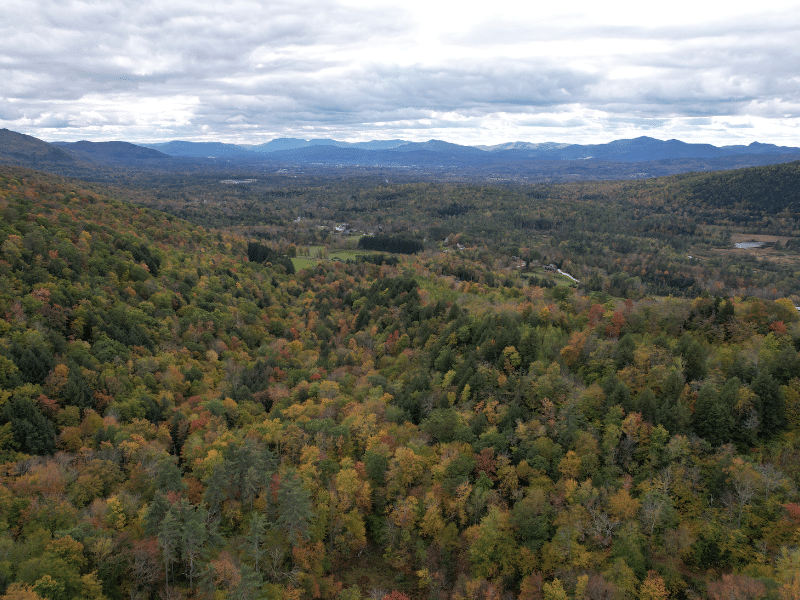
Property Overview
The land’s highest and best use is likely a combination of camp development, recreation, long-term timber value asset appreciation, and conservation.
Property highlights include:
- The property is boarded on three sides by National Forest public ownership;
- Private site near access road with views to develop a seasonal camp;
- Diverse terrain including a high-elevation plateau and narrow scenic ravine, accessed by miles of internal woods trails;
- Aesthetically attractive timber resource with diverse diameter distribution; good stocking and notable timber value;
- Central Vermont location within 5 miles of Rutland, Vermont’s second largest city.
Location
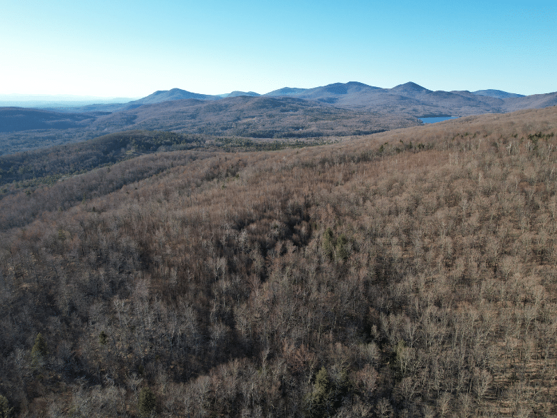
The forest is situated in the Town of Chittenden, in the heart of the Green Mountain Range. Chittenden is a small bedroom community where many of the residents commute to the vibrant nearby job markets of Rutland and the area ski resorts. Most of the land area of Chittenden is owned by the US Forest Service, which borders three sides of the Subject, creating a plethora of local/adjacent recreational opportunities, from hiking and biking to skiing and snowshoeing.
Mountain Top Inn, a four-season resort that offers dining and an equestrian facility is 4.7 miles to the north. The Inn is perched above the Chittenden Reservoir, a large water body that offers boating, fishing and swimming opportunities.
Locally, the land sits on the western slopes of the Blue Ridge Mountain ridge. Most of the land to the south, east and north is undeveloped forestland. Rural home development is common west of the land, along Chittenden Road.
Rutland, five miles to the southwest, is the largest nearby city, offering many boutique retail shops, small restaurants and varied cultural events. The city also offers many national retailers. This area has grown to become one of the more popular places to live in Vermont and Blue Ridge Forest is centered within this region.
Killington Resort is about 30 minutes to the southeast, and Pico Mountain is about 20 minutes in the same direction. Albany, NY is about two hours to the southwest, while Boston is approximately 3.5 hours to the southeast.
Access
Access is provided by Dugway Road which starts out as a town maintained road for 0.26 miles then proceeds as a Legal Trail for 0.24 miles. Beyond this the road continues for +/- 1,400’ as a high clearance woods road until the property’s internal driveway. Much of this access will require some ditching, grading and spot gravel prior to use for future forest management purposes.
The internal driveway runs easterly a short distance to a large clearing, a likely location for future camp development. Form this location, interior woods trails run throughout the land which are well suited for walking and ATV riding (see property maps for trail locations). The land’s western boundary runs along the old Pike Road, now discontinued.
Property Description
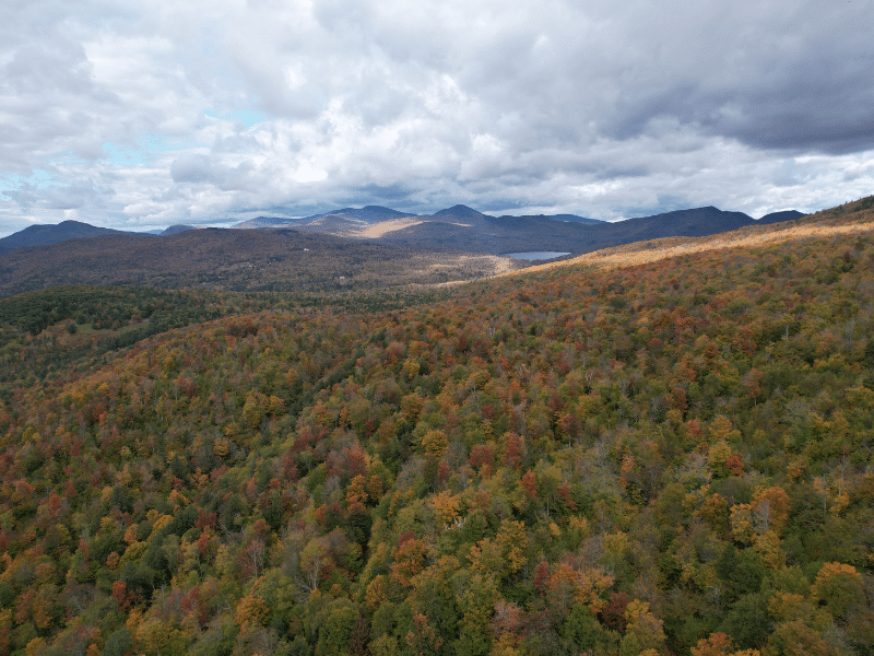
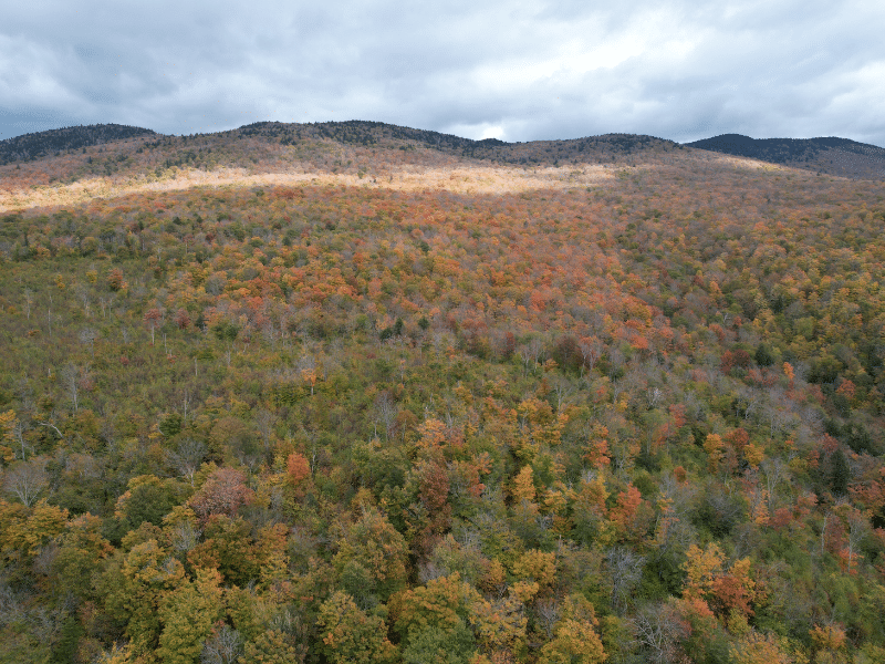
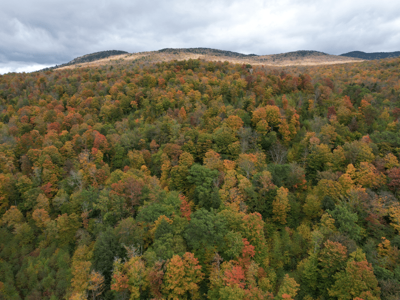
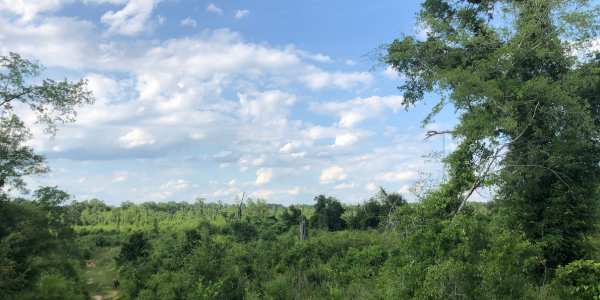
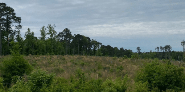
The property has a predominantly western aspect whose elevation along the access road is 1,400’ in elevation, then generally rises to a high point of 2,280’ along the eastern boundary. Terrain is variable with moderate slopes covering the upper 1/3 of the land, with other moderately sloping terrain on benches along the way. Steeper terrain is common along the mid-slope areas.
Notable is a scenic, narrow ravine that runs in a northeasterly direction at the NE section of the property. Excessive terrain and rock out-crops are common along the ravine’s narrow walls.
A mountain stream runs along the upper slopes with a small scenic falls before leaving the land and running near it’s southern boundary. Another stream parallels Dugway Road along the western boundary where some of its banks are steep but quite scenic.
The land’s clearing along its internal access road is level, an ideal location to build a camp. Nice long-range views to the south and west are available from this site with additional tree clearing.
Timber Resource
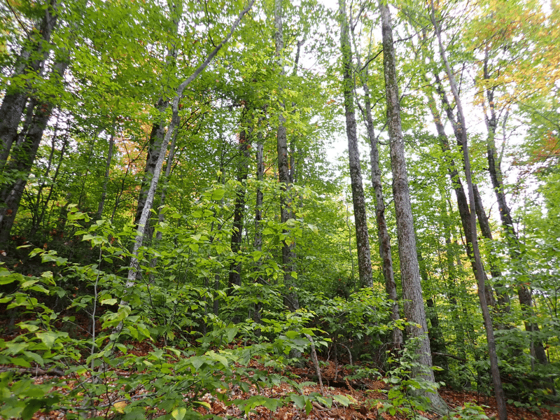
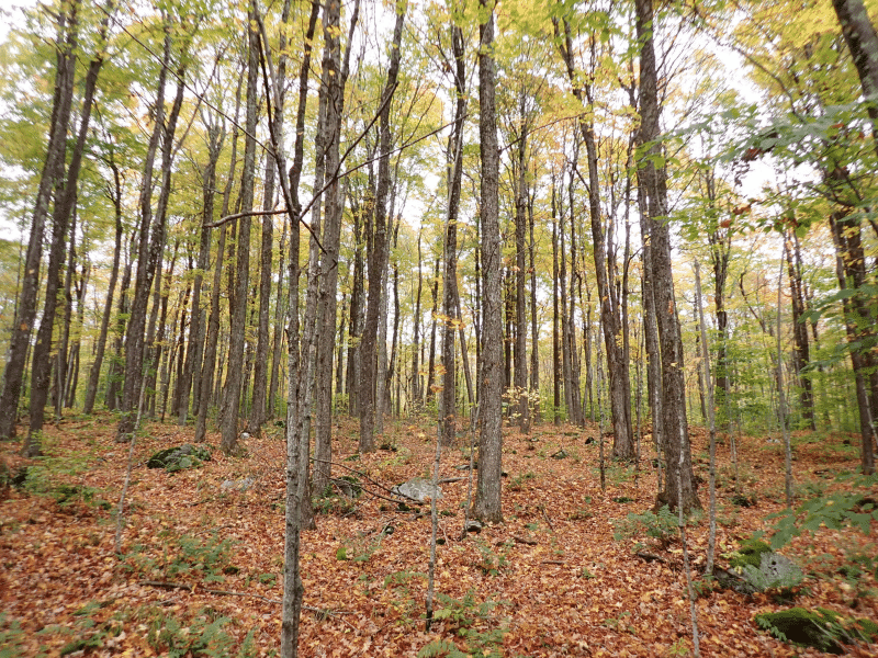
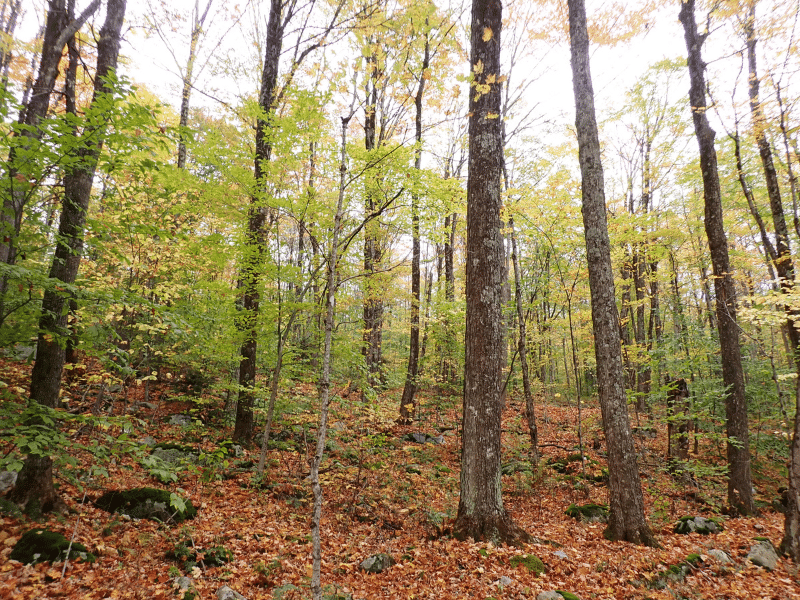
The timber represents an attractive resource that is well-positioned for future asset value appreciation. A species composition is nearly all hardwoods, dominated by red & sugar maples, birches, American Beech, red oak and common associates in smaller amounts. The limited softwood trees (mostly hemlock & pine) occur on the steep and rocky slopes on both sides of the ravine and along the stream in the SW corner of the land.
The land’s forest management plan (copy available upon request) identifies 4 stands which have been influenced by past forest management that occurred, most recently +/-25 years ago. Stand 1 (78 acres) located east, on the high ground, is an exceptional sawlog sugar maple stand with high stocking and value with nice forest aesthetics. Stands 2 & 3 (125 acres total) at the western end of the land, was partially harvested 25 years ago with current good stocking and diameter diversity. In the areas harvested, natural regeneration in the form of advanced saplings is now above head height and relatively easy to walk through. Stand 4 (20 acres) was clearcut and is now a fully regenerated, dense advanced sapling stand. The diverse age structure provides excellent habitat for a variety of native wildlife species.
There is no recent timber inventory permitting the establishment of Capital Timber Value (CTV), but field observations indicate that CTV/ac could be +/-$900.
Parcel Map
Broker Disclosure: Under agency law, you are considered a customer, unless you have a written brokerage agreement with Fountains Land (in which case you are a client). While you are a customer, Fountains is NOT obligated to keep confidential the information that you might share with us; therefore, you should not reveal any information that could harm your bargaining position.

Zach Jaminet, CF
Northeast Real Estate Salesperson
Contact Zach Jaminet
Resources
Maps
-
Google Earth IconGoogle Earth
-
Locus Map IconLocus Map
-
Topo Map IconTopo Map
-
IR Map IconIR Map
-
Photo Map IconPhoto Map
View Similar Properties
-
 AvailablePrice Varies By Parcel
Swanson Development
182 AcresMultiple UsesPerry, Houston County, GA -
 Price Improvement$60,630 $46,546
Powell Plantation Tract #1
4 AcresMultiple UsesDeBerry, Panola County, TX -
Price Improvement$38,310 $29,805
Powell Plantation Tract #2
2 AcresMultiple UsesDeBerry, Panola County, TX -
Price Improvement$37,485 $27,426
Powell Plantation Tract #3
2 AcresMultiple UsesDeBerry, Panola County, TX