
Windham Woods



Property Details
Property Overview
Windham Woods Forest presents an attractive opportunity to own significant acreage in Vermont’s scenic southern Green Mountains, an area known for its sparse development, productive wildlife habitat, and proximity to the Green Mountain National Forest and associated ski areas. The property will be conveyed subject to a conservation easement, which will be finalized before the sale and held by the Vermont Land Trust. This easement permits various recreational activities, as well as sustainable timber and habitat management.
Highlights
- Significant Legal Trail frontage on both Black Bear and Melis Roads
- Direct access to VAST snowmobile trails
- Close proximity to major public lands, Stratton Mountain, & historic Vermont villages
- Recent timber inventory indicates $1,031/commercial acre in forest product assets
- Rights to construct an 800 ft² off-grid camp, use ATVs, and post the property against trespassing
Pursuant to the seller’s non-profit/501(c)(3) status, an organizational disposition policy dictates that the property must be listed for a minimum of 30 days before the owner accepts an offer or enters into a purchase contract. Buyers are encouraged to submit offers at any time for their consideration after this time period expires on August 21, 2026.
Location
The forest is situated in southern Jamaica, VT, just north of the shared town line with Wardsboro. The surrounding landscape is mostly forested, including large and small family woodlots and portions of the Green Mountain National Forest to the north. Scattered homesteads and estates also dot the landscape, which the West Jamaica Road bisects. This main thoroughfare provides access to the property from both the village of Jamaica (about 5.5 miles away) and Stratton (6.6 miles away). From the West Jamaica Road, Black Bear Road (TH #44) runs southwest approximately 0.8 miles before becoming a Legal Trail (LT #23). From this point, the property is found 0.47 miles away.
The town of Jamaica has a quaint, secluded downtown with a general store, a few shops, and a couple of restaurants. To the west, the town of Stratton is home to the busy Stratton Mountain Resort, which, in addition to skiing, offers mountain biking along with several other summer activities and festivals. Bromley Mountain and Magic Mountain are both found a few miles away on Route 30. The larger town of Londonderry, VT, located at the intersection of Route 30 and Route 100, offers good amenities, including a grocery store, a hardware store, and a few restaurants.
To the north lies Pikes Falls, a popular local swimming spot accessible by a short hike from the Pikes Falls Road. Other popular hiking destinations include Ball Mountain Dam and Hamilton Falls, in addition to the trails found in the area’s various state parks and public forests. Access to the Long Trail is available at several points in the area, where day trips or overnight camping can be enjoyed.
Southern Vermont is historically known for its impressive angling opportunities. The West River is a solid trout fishery, with native brook, brown, and rainbow trout found in its many pools and eddies. The famed Battenkill is nearby in Arlington, VT, and a quick drive over the Kelly Stand Road near the property brings you close to good public access. Numerous mountain brooks and streams hold smaller, scrappy brook trout, and it’s not hard to catch a few fish for dinner. There are also many ponds near the property, including Gale Meadows Pond, Grout Pond, and Lowell Lake, which contain bass, panfish, and perch, and have sandy beaches for swimming from shore. At Lowell Lake, look for the Revolutionary War cemetery near the dam and parking area.
To the south, Mount Snow is only 14 minutes away. The closest major town with significant amenities is Manchester, located 24 miles away. The property is easily accessible from major population centers such as Boston (3 hours away) and Albany (1.75 hours away).
Conservation Easement
The conservation easement on the property will be held by the Vermont Land Trust (VLT), one of New England’s most prolific and respected conservation organizations. A working forest partnership with VLT offers the new owner predictability and cooperation, given the organization’s long history and solid reputation in overseeing the other easements under its stewardship. The principal objective of the easement is to conserve productive woodlands, wildlife habitats, water quality, and other natural resources and scenic values. The property will be conveyed subject to the conservation easement, which will be finalized before the sale.
Easement Highlights
-
Sustainable and traditional forestry and agricultural activities are permitted to support the long-term stewardship of the protected property
-
The property can be posted against public access
-
Ecologically significant vernal pool buffers (shown on the attached maps) will be subject to special harvesting regimes
-
Surface Water Protection Zones (SWPZs), covering the riparian areas adjacent to the stream corridors, wetlands, and vernal pools, are protected from intense forest management activities
-
The conservation easement allows for the development of an 800 ft2 off-grid camp
Access
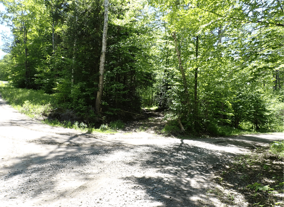
Access to the property is primarily via Black Bear Road in Jamaica, a Class 3 town highway that runs 0.77 miles from West Jamaica Road before becoming a town Legal Trail, leading to the property 0.47 miles away. Alternative access points include Melis Road to the east and Old Nine Road to the west, though conditions on these trails are poor. A four-wheel-drive vehicle with good clearance is recommended for Black Bear Road.
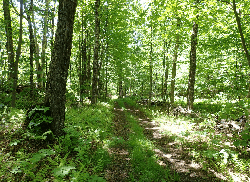
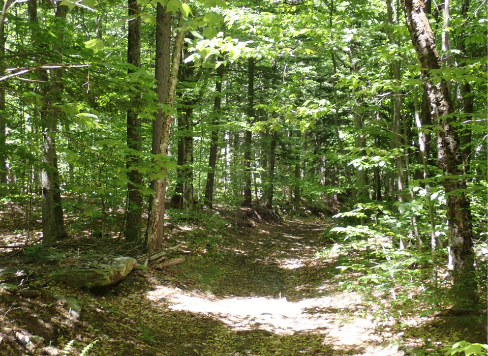
In winter, snowmobile access is excellent, as VAST Trail 710 runs through the property along Melis and Black Bear Roads. These trails are maintained by local snowmobile clubs, connecting the property to a broader network. Once on the property, access is easy on foot or ATV. Old logging roads serve as trails and could be further improved with mowing or clearing. The property also features one internal road that runs south from Melis Road before terminating in Wardsboro.
Property Description
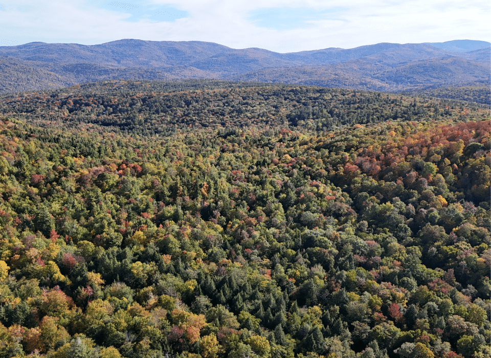
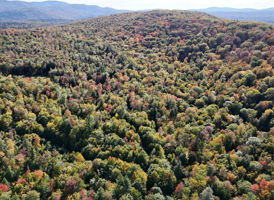
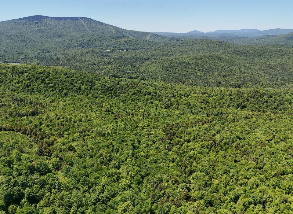
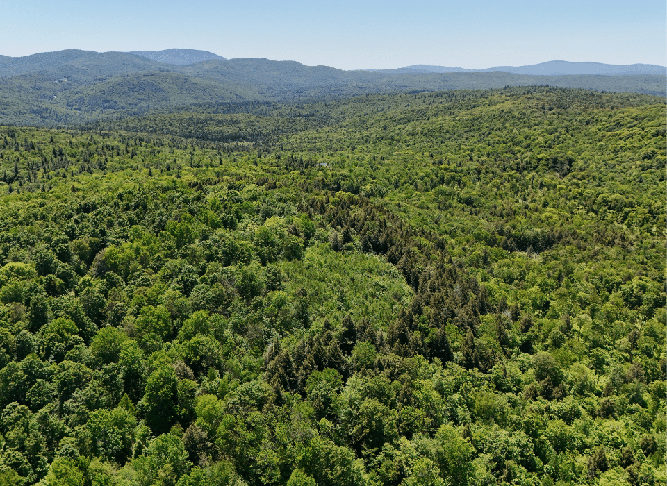
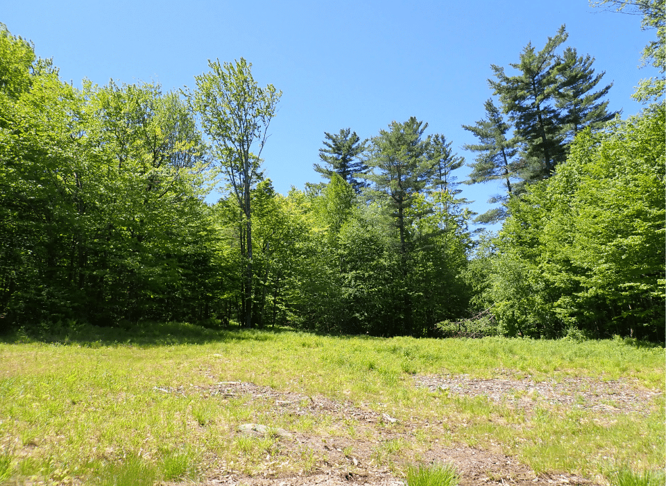
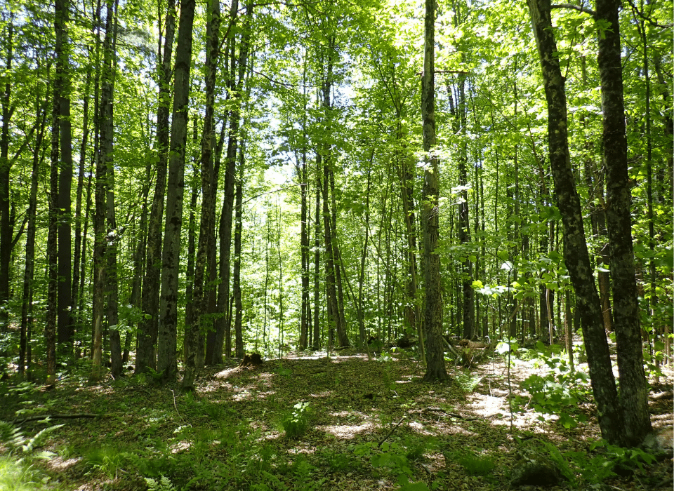
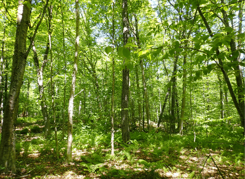
The property is completely forested, except for a small log landing that now serves as a parking area and a potential site for camp construction. The landing and Black Bear Road are situated in a small valley containing a brook. To the west and south, the land rises moderately, eventually topping out at 2,040’ ASL at the summit of a large hill. In this area, the far southern portion of the property has more rolling terrain and is generally easy to traverse.
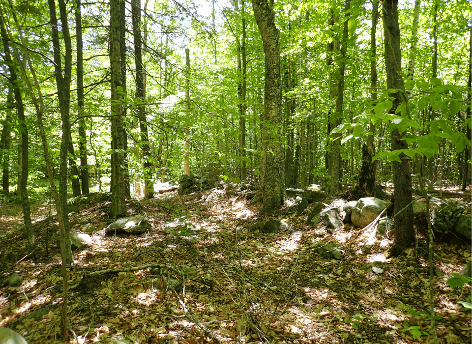
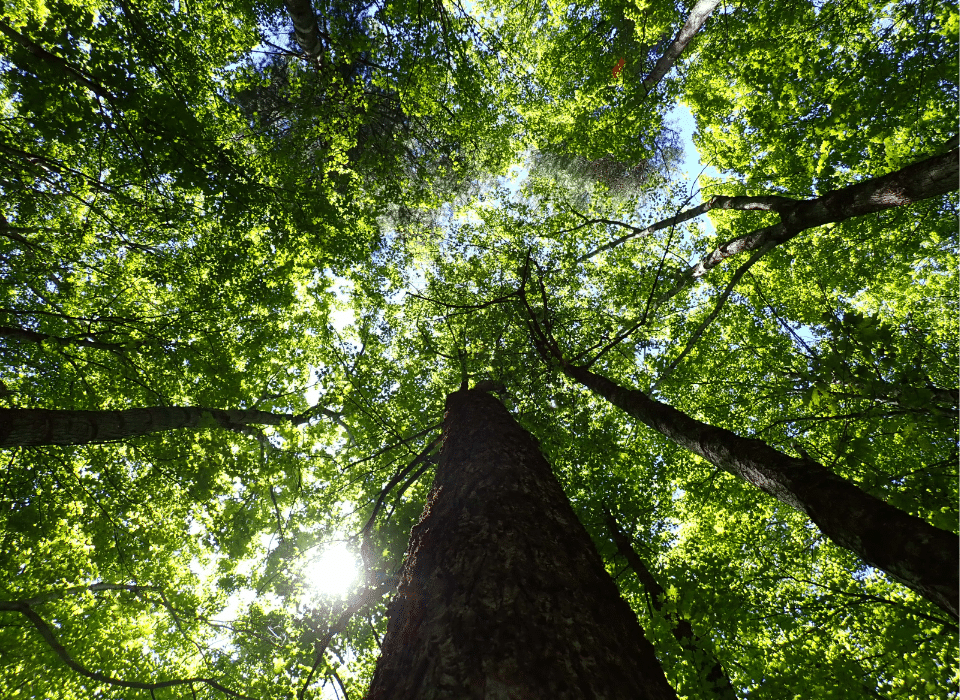
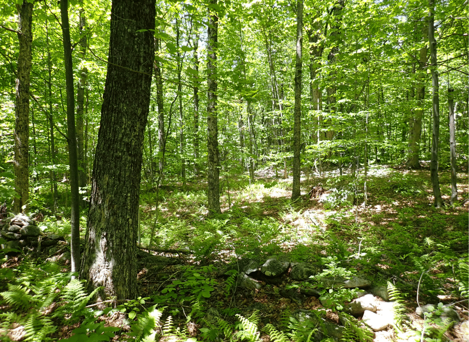
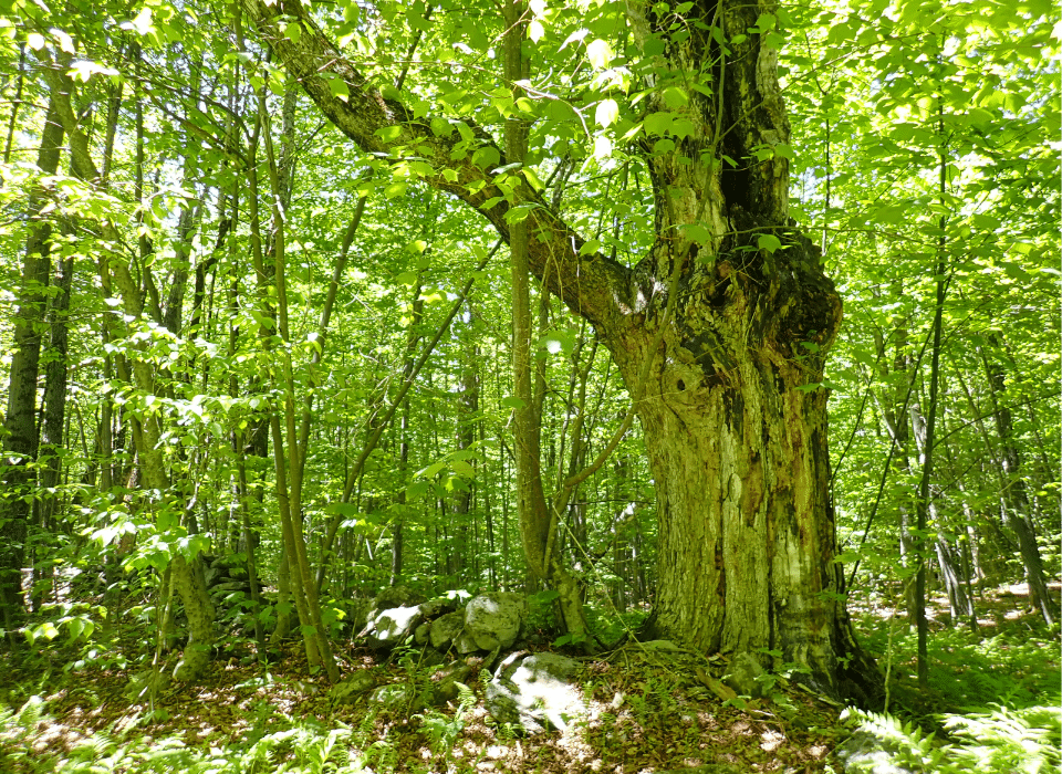
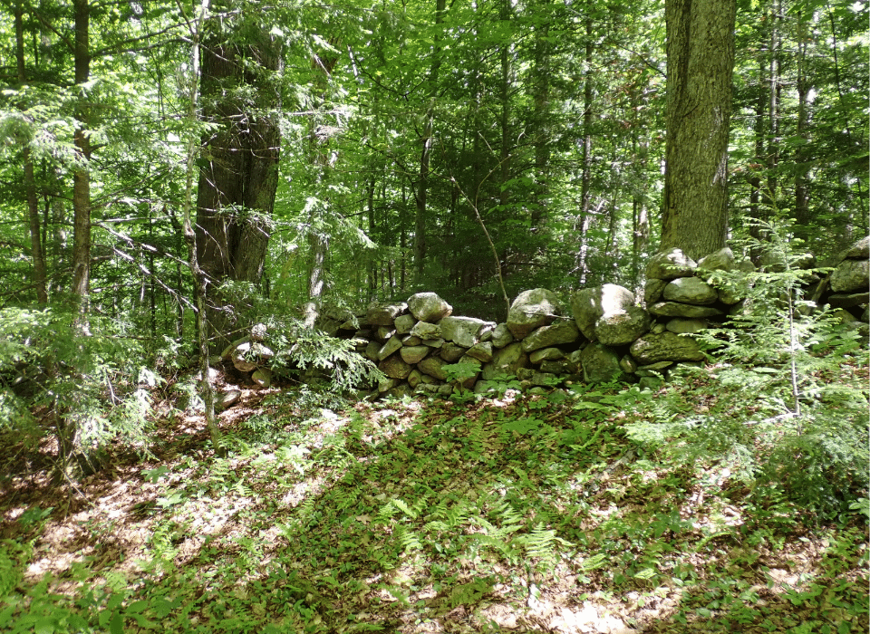
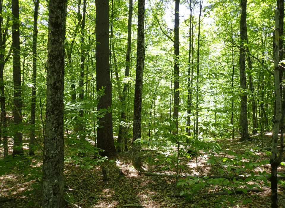
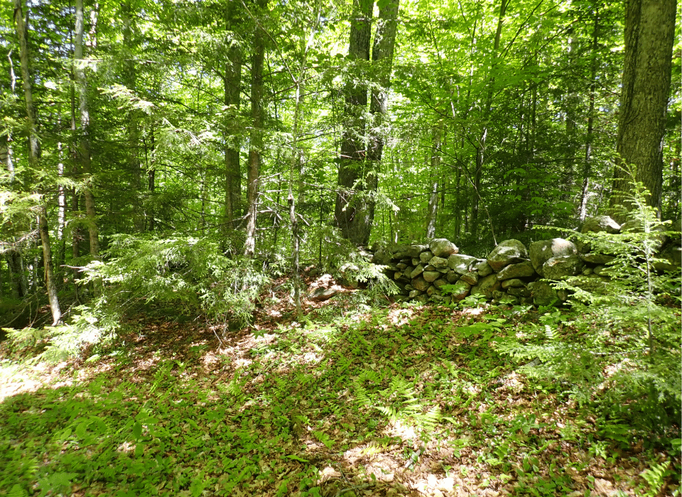
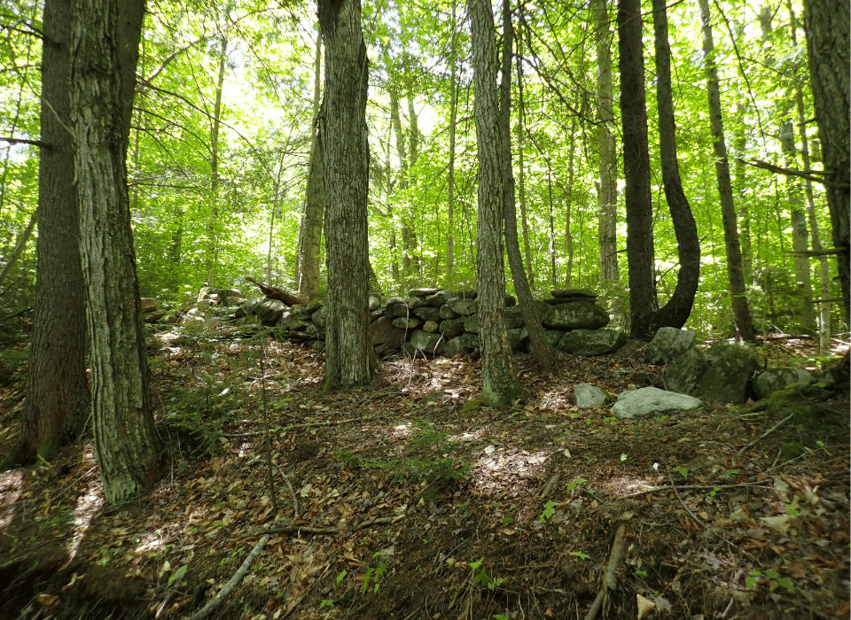
The forest is predominantly hardwood and has been managed for several decades, resulting in a diverse mix of age classes, species, and densities. Some areas contain mature timber, likely not harvested in at least 40 years, while other stands contain younger poletimber or regenerating saplings resulting from periodic management. Due to the land-use history, numerous trails and stone walls run through the woods, providing good access to most areas of the property.
Timber Resource
The timber data included in this report is based on a comprehensive timber inventory conducted by F&W Forestry in April 2026. Inventory plots (73) were taken on a 423’ x 423’ grid using a 15-factor prism (1 plot representing 3.849 acres). The data’s statistical accuracy is ±16.6 % for all sawlog products and ±13.1 % for all products combined at the 95% confidence level. The data reveal a total sawlog volume of 1,409 MBF International ¼” scale (5.01 MBF/acre) and 5,449 pulpwood cords (19.4 cords/commercial acre). The combined total per-acre volume is 29.4 cords, in line with the regional average. Stumpage values were assigned to the volumes in April 2026 by F&W Forestry, producing a property-wide Capital Timber Value (CTV) of $290,100 ($1,031/commercial acre).
Species Composition
The property’s species composition leans toward hardwoods, which account for 77% of total volume, while softwoods account for 23%. The species composition for all products combined is sugar maple (25%), beech (18%), hemlock (16%), and red maple (13%). All other species account for 28% of the total volume.
Stocking & Stem Quality
The property’s species composition leans toward hardwoods, which account for 77% of total volume, while softwoods account for 23%. The species composition for all products combined is sugar maple (25%), beech (18%), hemlock (16%), and red maple (13%). All other species account for 28% of the total volume.
Sawlog Volume
Sawlog value is largely dominated by sugar maple (44%), followed by white ash (21%), yellow birch (8%), white pine (6%), and red maple (6%). All other species account for 14% of the value.
Diameter Distribution
The average diameter (quadratic mean diameter) for all trees combined is 11.5”, while the midpoint of the diameter distribution for sawlog trees is about 15.5”, which is about average for the northern forest type. The average diameter of sugar maple sawlog trees, the major species, is approximately 16.5”.
Forest Stands & Silvicultural History
The current ownership’s tenure began in 2014, with no forestry operations since then. Before this, it appears that harvesting has occurred multiple times, with some stands showing evidence of harvesting around 20 years ago, while others appear not to have been managed for some time. The forest management plan was last updated in 2024 and provides valuable insights into future management potential. Copies of the forest management plan and associated maps are available upon request.
Parcel Map
Broker Disclosure: Under agency law, you are considered a customer, unless you have a written brokerage agreement with Fountains Land (in which case you are a client). While you are a customer, Fountains is NOT obligated to keep confidential the information that you might share with us; therefore, you should not reveal any information that could harm your bargaining position.

Thom Milke
NE Real Estate Manager & Vermont Principal Broker, REALTOR®
Contact Thom Milke
Resources
Maps
-
Google Earth IconGoogle Earth
-
Locus Map IconLocus Map
-
Topo Map IconTopo Map
-
IR Map IconIR Map
-
Photo Map IconPhoto Map
View Similar Properties
-
 AvailablePrice Varies By Parcel
Swanson Development
182 AcresMultiple UsesPerry, Houston County, GA -
 Price Improvement$60,630 $44,500
Powell Plantation Tract #1
4 AcresMultiple UsesDeBerry, Panola County, TX -
Price Improvement$38,310 $28,100
Powell Plantation Tract #2
2 AcresMultiple UsesDeBerry, Panola County, TX -
Price Improvement$37,485 $27,500
Powell Plantation Tract #3
2 AcresMultiple UsesDeBerry, Panola County, TX