Iron Mountain Forest
Property Details
Property Overview
Iron Mountain Forest is an income positive timber investment opportunity well positioned for robust asset appreciation from its high quality timber resource.
The land has been professionally managed by the current forest manager for over 35 years with third-party forest certification program participation for 20 years. Over this period the ownership goals have been to grow superior forest stands while insuring desirable regeneration to support a favorable species composition and diameter distribution.
Investment highlights include:
- Asking price set near the value of the stand timber value;
- Northern Adirondack Park location, a region with solid forest product markets;
- Long history or professional management resulting in high quality, accessible forest stands;
- Ideal species composition, dominated by northern hardwoods, black cherry, spruce/fir and white pine;
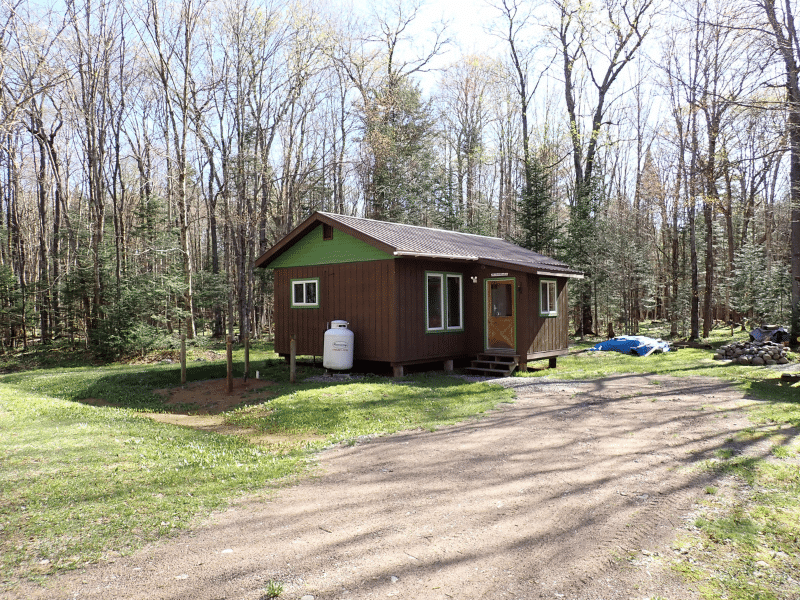
- Developed access facilitating future forest management activities and recreational pursuits;
- Existing recreational lease program with income exceeding annual taxes;
- Subject to an option agreement by the State of NY to acquire a conservation easement insuring a considerable future cash infusion.
Location
This Adirondack region is a scenic, forested landscape lying along the headwaters of the West Branch of the St. Regis River. Surrounding ownerships include multi-generational family estates, long-established hunting clubs and private working timberland ownerships. Some of the adjacent properties are hallmark parcels including Bay Pond Park, Windfall Pond and the New York State Forest Preserve, as well as properties owned by The Nature Conservancy.
Tupper Lake Village (population 3,600) is located 4 miles to the south and offers numerous restaurants, shops and amenities. It’s also the crossroads of various state highways providing easy access to regional forest product markets. Saranac Lake (population 5,400), not long ago ranked 11th in the 100 Best Small Towns in America, is 15 miles to the east and hosts the Adirondack Medical Center. New York City and Boston are 6 hours south and southeast, respectively with Montreal 2.5 hours to the north.
Access
Iron Mountain Forest offers exceptional access, facilitating forest management activities over the entire property, with the land’s southern boundary only four miles to Tupper Lake Village along the Pitchfork Pond Road.
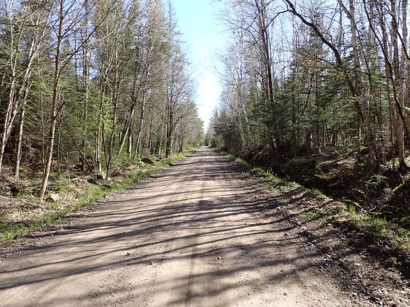
From Route 3 in Tupper Lake village, the Pitchfork Pond Road is a four-season, town-maintained road providing legal access to the property and beyond to the Kildare Club Gate. After the Kildare Club gate the road continues and then becomes Kildare Road, both of which are maintained by the Kildare Club. The land has +/-7 miles of frontage along these maintained roads which runs along a former rail road bed.
Internal and other access is provided by nearly 13 miles of developed roads, suitable for summer, fall and winter forest operations. The entire road network has developed landing areas, ready to support future silvicultural operations. In addition, established gravel pits facilitate future road maintenance.
While the current and past owners of the property have contributed to some of the road maintenance, it has generally be a nominal annual expense as the adjacent Kildare Club ownership and recreational lease members on the property have provided the majority of the road maintenance (especially across the 7 miles of road frontage along the old rail road bed).
Property Description
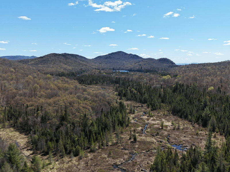
The property holds a considerable footprint, spanning over 6 miles south to north and on average 1 mile west to east. This landscape covers various terrain, with the commercial timberland characterized by mostly upland, well drained slopes, ideal conditions to produce high quality hardwoods. These upland sites support northern hardwoods and black cherry stands, while the level sites host mostly spruce/fir and white pine stands.
Iron Mountain peak sits at the south, central section of the land, seen prominently from Tupper Lake and points beyond, it’s elevation rises to 2,579’. The lowest elevation is +/-1,500’ at the western end of the tract where the Jordan River leaves the property.
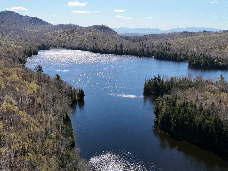
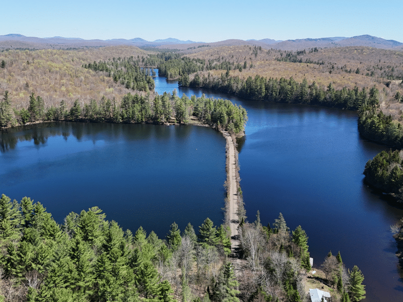
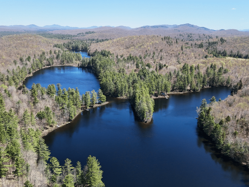
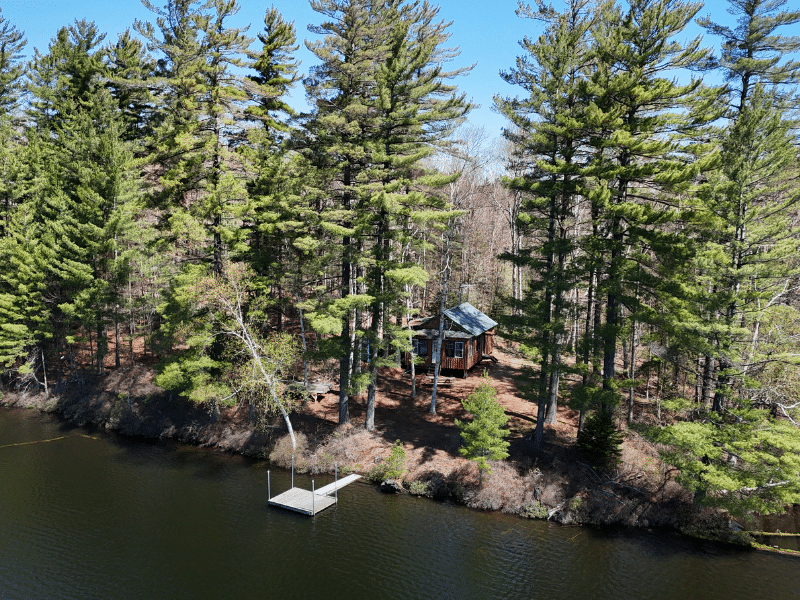
The land’s water resources are diverse offering six private ponds, with a string of three ponds along Kildare Road (Blue, Mud & Willis Ponds) and two isolated but road accessible spring-fed ponds at the eastern end of the land (River & Mountain Ponds). The 68-acre East Pond has a private road to its western shoreline and includes over a mile of pristine frontage on a stunningly scenic, cold water brook trout fishery. Its opposing shoreline is state owned creating an iconic Adirondack wilderness setting.
The land’s water resource is rounded out by the Jordan River, plus the Willis, Black & Windfall Brooks that all flow across the land east to west.
The land’s diversity provides numerous financial, ecological and recreational benefits that can support a wide variety of ownership objectives. Uses for the next ownership can include a family estate development, timberland investment or conservation.
Timber Resource
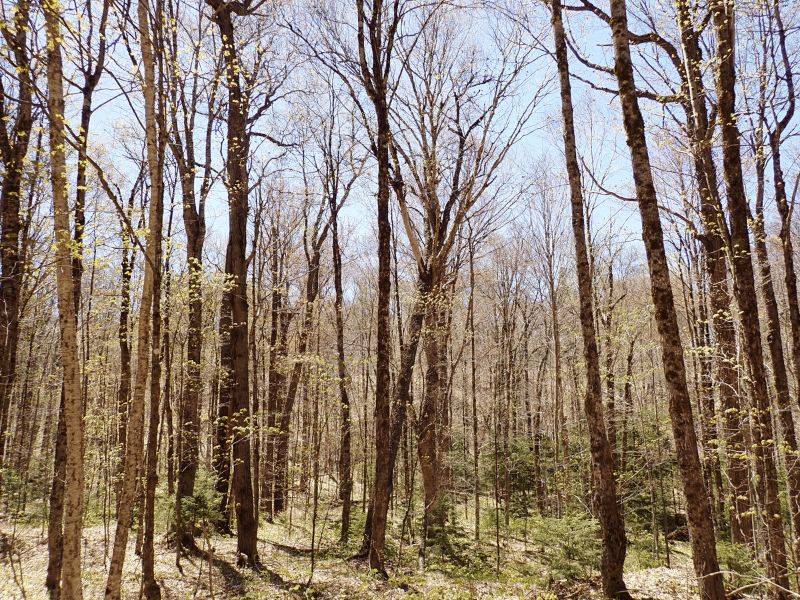
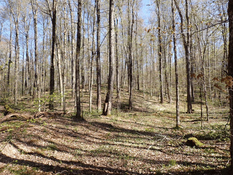
Iron Mountain Forest stands out as one of the more carefully managed forest properties in the region, where for over 35 years, the silvicultural focus has been on producing high quality stands.
Timber data in this report are based on a timber inventory conducted in 2016 by the ownership’s forest consultant, F&W Forestry Services. Upon subtracting harvest removals and adding growth, the data reveals a total sawlog volume of 33,437 MBF International ¼” scale (4.4 MBF/acre) and 79,387 pulpwood cords (10.4 cords/acre). The combined total per acre volume is 19.2 cords. F&W assigned stumpage values to the volumes in December of 2023, producing a property-wide Capital Timber Value (CTV) of $7,434,400 ($977/commercial acre). See the Timber Valuation in this report for details.
Species Composition:
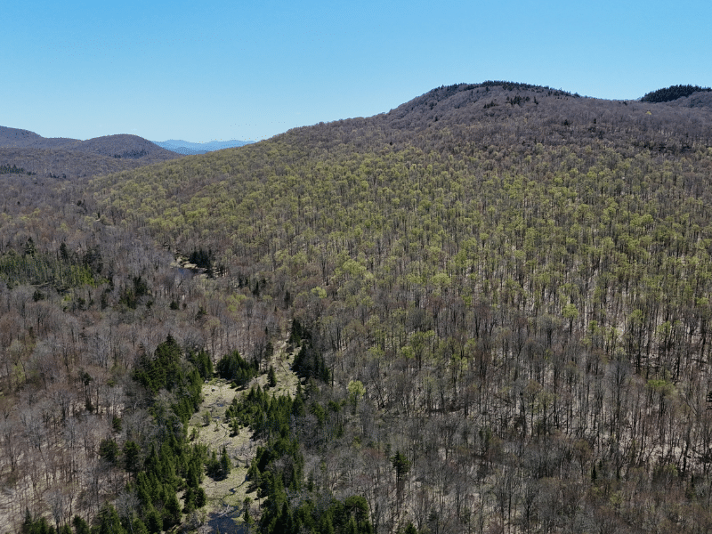
A species composition dominated by hardwoods prevails, with hardwoods at 86% and softwoods at 14% of total volume. Species composition for all products combined offers a favorable mix dominated by hardwood species adapted to the well drained soils commonly found over the property’s upland terrain. The sawlog breakdown is similar however with spruce-fir and white pine making a higher showing. The decades of professional silvicultural management has significantly reduced the beech levels in the understory.
Stocking and Stem Quality:
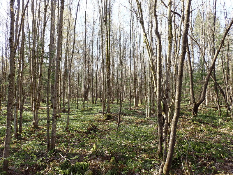
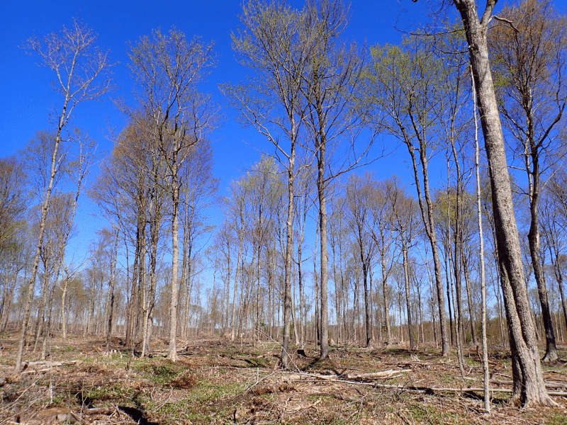
Overall, forest stocking is fairly consistent throughout the property, with nearly all stands fully stocked with overstory sawlogs, pole-sized stems (the latter being 7″ -11″ hardwood stems), and advanced regeneration. Natural regeneration in the form of seedlings and saplings have become established in areas that were previously harvested over the last 20 years. Some recently treated stands remain under-stocked while natural regeneration develops.
Stem quality is well above average, the result of consistent, professional stewardship.
Sawlog Value:
Sawlog value is dominated by sugar maple (40%), black cherry (12%), red maple (12%), red spruce (12%), yellow birch (11%), white ash (6%) and white pine (5%).
Diameter Distribution:
The average diameter for all products combined by volume is likely close to 12″, while the average sawlog diameter is likely close to 14″. Black cherry and white pine hold the more mature age classes. Pole-sized growing stock (stems 6-8”) represent a considerable percentage of the total stocking ensuring high levels of product shifting in the coming decade.
Management History:
The forest has been carefully and professionally managed for the last 35 years by the same forest management team with the goal of concentrating growth on the best crop trees, creating a mature age class and promoting acceptable natural regeneration. The silvicultural accomplishment is visible over the entire property setting the stage for robust asset appreciation over the coming decades.
Conservation Easement Option
The State of New York retains an option to acquire from the new owner a conservation easement covering the property. This option will allow the seller to purchase a conservation easement at a value of 75% of the fair market value of the conservation easement (based on appraised value), at the time the option is exercised. This option offers the new owner an active entity who will work to secure the necessary funding to purchase the easement, providing an alternative revenue source during their ownership tenure. The option term runs +/-8 more years.
During the option term, the owner shall maintain the land’s enrollment in the 480-A tax program in good standing and not develop or subdivide the land unless mutually agreed upon with the option holder.
A copy of the Option Agreement is available upon request.
Parcel Map
Broker Disclosure: Under agency law, you are considered a customer, unless you have a written brokerage agreement with Fountains Land (in which case you are a client). While you are a customer, Fountains is NOT obligated to keep confidential the information that you might share with us; therefore, you should not reveal any information that could harm your bargaining position.

Tom Gilman, CF
New York Regional Manager & Real Estate Agent
Contact Tom Gilman
Resources
Maps
-
Google Earth IconGoogle Earth
-
Locus Map IconLocus Map
-
Topo Map IconTopo Map
-
IR Map IconIR Map
-
Photo Map IconPhoto Map
View Similar Properties
-
 Available$110,000
Upper Oswegatchie River – Fullerville Falls Parcel
13 AcresMultiple UsesFowler, St. Lawrence County, NY -
 Available$180,000
Upper Oswegatchie River – Overlook Rapids Parcel
83 AcresMultiple UsesFowler, St. Lawrence County, NY -
 Available$420,000
Upper Oswegatchie River – Sluiceway Falls Parcel
89 AcresMultiple UsesFowler, St. Lawrence County, NY -
 AvailablePrice Varies By Parcel
Swanson Development
182 AcresMultiple UsesPerry, Houston County, GA

