
Churubusco Lodge Estate
Property Details
Property Overview
A rare, generational recreational holding: massive contiguous acreage, private water, and genuine architectural character in one estate. Equally suited to conservation buyers or families seeking a legacy property, with a move-in-ready lodge while long-term plans for the land take shape.
Property Highlights
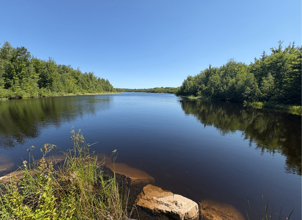
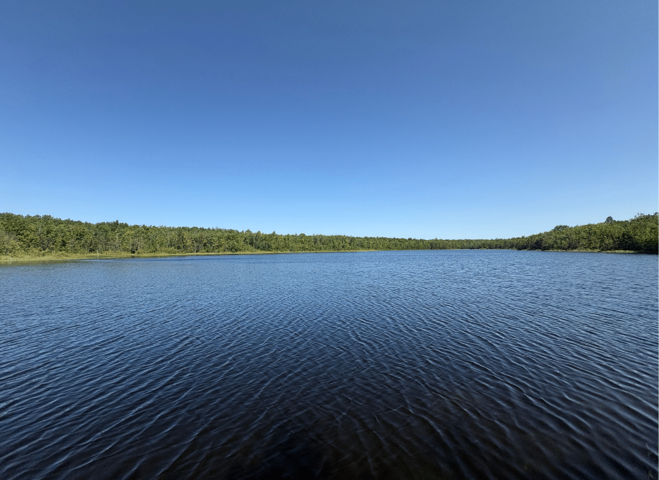
- Sole ownership of a 20-acre lake, with additional ponds, streams, & springs
- 19th-century hand-hewn timber frame joined to an rustic hunting camp
- Private, gated access at the terminus of Drown Road, with multiple deeded access points and extensive internal road and trail network
- Borders 603 acres of New York State land, a protected glacial gorge
Location
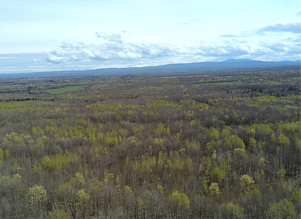
The Churubusco Lodge Estate is situated across the towns of Clinton and Mooers in Clinton County, located in far northern New York. The surrounding landscape features large tracts of private forestland, along with scattered camps and farms along the town roads. This area is characterized by low-lying, heavily wooded terrain typical of the region. While the property does not directly border the international boundary, it is close to the Canadian border, with Montreal approximately 1.5 hours away. This offers a unique combination of remoteness and accessibility to a major metropolitan market. Plattsburgh, the county seat, is about 45 minutes away and serves as the region’s commercial and medical hub, home to SUNY Plattsburgh and Plattsburgh International Airport.
The estate also shares a border with 603 acres of New York State land known as The Gulf Unique Area, a state-protected natural space named for the dramatic rocky gorge formed by glacial flooding during the ice age. The English River flows through this gulf, which is known regionally for its rugged, canyon-like terrain, over three miles of hiking trails, and its importance as a habitat for black bears, whitetail deer, and a variety of bird species. The proximity to this large area of permanently protected state land provides the estate with an additional buffer of undeveloped wilderness beyond its own acreage.
Access
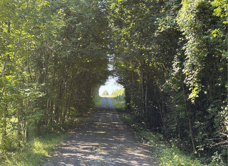
Access to the Churubusco Lodge is private and gated. The main entrance is an 8-foot gate at the terminus of Drown Road, leading into the estate’s core and the Churubusco Lodge itself. An extensive internal road and trail network extends from this entrance across the full 1,330 acres, supporting forest management, hunting access, and travel between the estate’s water features.
The estate also benefits from multiple points of deeded access beyond the main gate. Pat’s Pond and the southwestern portion of the property are most easily reached via Soucia Road, where a forest road runs to the edge of the pond and passes several well-suited home or camp sites along the way.
Together, the Drown Road and Soucia Road access points provide access to every corner of the estate, from the lodge and its pond to the more remote southwestern acreage, without relying on a single road frontage.
Property Description
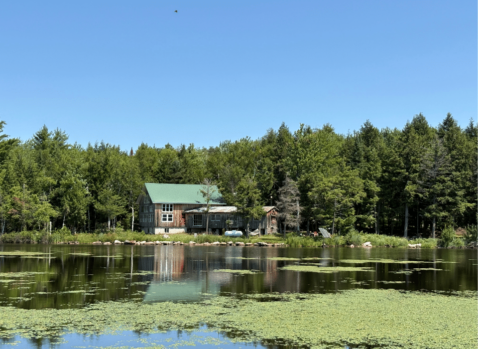
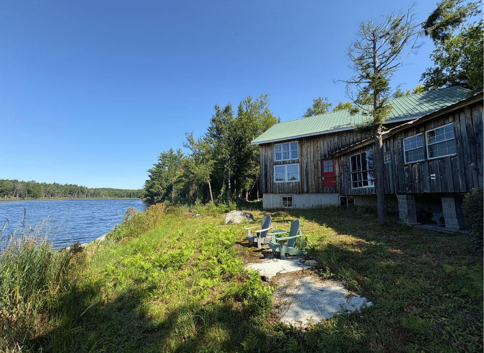
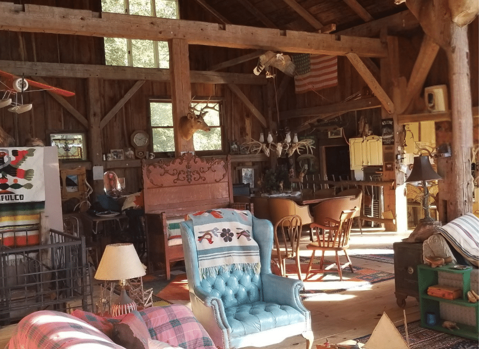
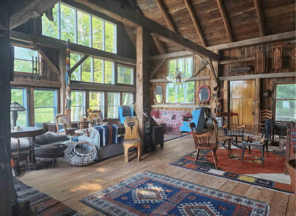
At the heart of the estate stands the Churubusco Lodge, a 19th-century hand-hewn timber frame measuring 30’×40′ with 27-foot clear-span ceilings, connected to an 18’×38′ rustic hunting camp. The frame carries a genuine provenance rarely found in a structure like this: it originally stood on the owner’s Vermont farm, was carefully dismantled piece by piece, transported, and reassembled on the shore of Lodge Pond. It sits on a modern foundation with 8-foot poured concrete walls and a full basement, giving the lodge a stable, livable base without disturbing the character of the frame above. Inside, the original hand-hewn timbers remain fully exposed, a soaring, 27-foot span overhead that few new structures can replicate.
Outside, the lodge is finished in board-and-batten siding over rigid insulation, giving it a clean, weathertight exterior that still reads as a historic camp rather than a new build. The lodge sits directly on its own pond, more than 20 acres in size. Power is currently off-grid, supplied by a small photovoltaic system; the setup could readily be expanded for a new owner who wants greater capacity, or a grid connection could be pursued separately.
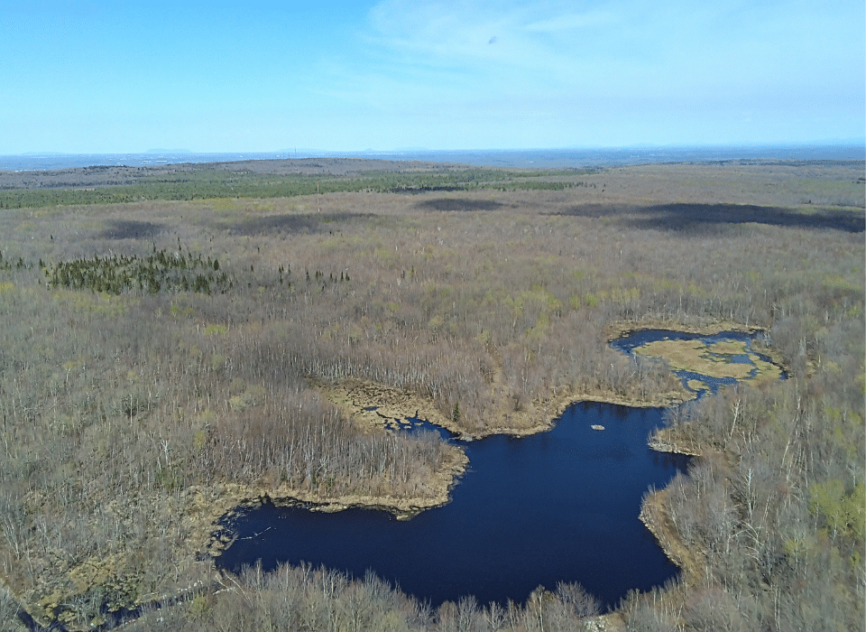
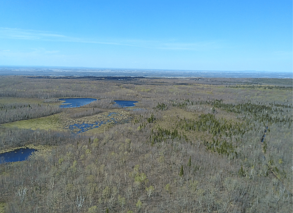
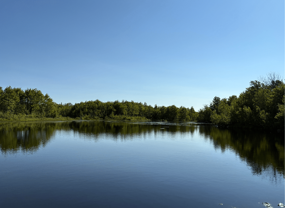
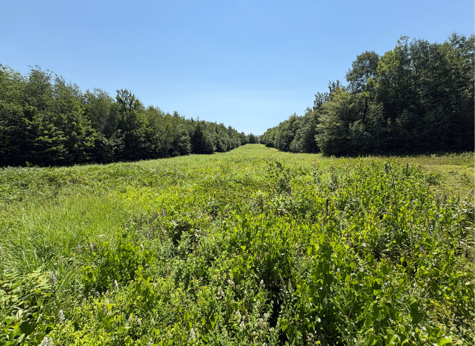
Water defines the estate at a scale rarely found under single ownership. Beyond Lodge Pond, Lake Alex forms the estate’s other major water feature, and numerous smaller ponds are scattered throughout the property, each reached via its own interconnected network of trails, allowing a new owner to explore the water on foot or by ATV without retracing the same ground twice. Natural springs and small streams run throughout the land as well, feeding the pond systems and supporting healthy wildlife populations across all seasons. Together, this density of water supports fishing, paddling, and waterfowl hunting, alongside the upland hunting the surrounding forest offers for whitetail deer, black bear, and upland birds. The property is further developed for serious hunting use, with multiple large clearings cut as shooting lanes up to 300 yards long, each anchored by an elevated blind at its ends, with infrastructure already in place for a new owner rather than something to be built from scratch.
Timber Resource
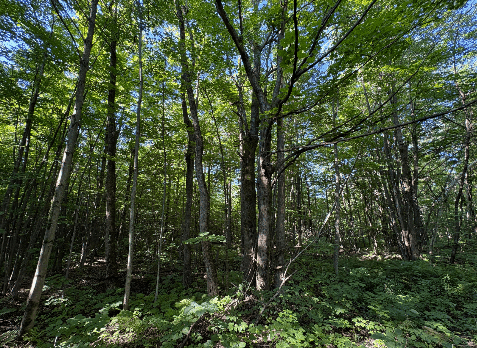
A formal timber inventory has not been completed on the property. The forest is almost entirely hardwood, dominated by maple with a meaningful cherry component, and some softwood in the lower, wetter areas. Most of the property is young polewood and regenerating stands, though there are pockets of mature maple and cherry near the lodge and on the eastern portion of the land. At one point, the property supported a maple tap lease of more than 10,000 taps, evidence of the sugarbush potential in the maple stands.
The property does not represent a near-term timber income opportunity, but the young, well-stocked forest is well positioned for long-term appreciation as it matures. The property is not currently enrolled in New York State’s 480A Forest Tax Program. A new owner could evaluate enrollment eligibility, which, if pursued, would meaningfully reduce the property’s annual carrying cost in exchange for a commitment to an approved forest management plan.
Parcel Map
Broker Disclosure: Under agency law, you are considered a customer, unless you have a written brokerage agreement with Fountains Land (in which case you are a client). While you are a customer, Fountains is NOT obligated to keep confidential the information that you might share with us; therefore, you should not reveal any information that could harm your bargaining position.

Sam Caldwell
New York Real Estate Salesperson, REALTOR®
Contact Sam Caldwell
Resources
Maps
-
Google Earth IconGoogle Earth
-
Locus Map IconLocus Map
-
Topo Map IconTopo Map
-
IR Map IconIR Map
-
Photo Map IconPhoto Map
View Similar Properties
-
 AvailablePrice Varies By Parcel
Swanson Development
182 AcresMultiple UsesPerry, Houston County, GA -
 Price Improvement$60,630 $44,500
Powell Plantation Tract #1
4 AcresMultiple UsesDeBerry, Panola County, TX -
Price Improvement$38,310 $28,100
Powell Plantation Tract #2
2 AcresMultiple UsesDeBerry, Panola County, TX -
Price Improvement$37,485 $27,500
Powell Plantation Tract #3
2 AcresMultiple UsesDeBerry, Panola County, TX